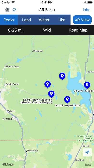
Want to know what the name of that mountain peak or the elevation? It's easy with the AR Earth app. Simply select "Peaks" then "AR View" and aim your camera at it.
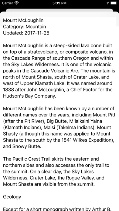
Earth AR has hundreds of thousands of places resident in its database so you can use it offline pretty much anywhere in the world. Included with the app is a resident database of Wikipedia articles.
AR Earth Features
Place selector buttons enable you to quickly display nearby places.
Each place has a details page with maps, directions and Wikipedia article text for certain places.
Ability to bookmark a place of interest. To bookmark a place simply touch the + sign displayed in the upper right corner of the place details page. Favorites enable you to quickly access bookmarked places. To remove a bookmark swipe left on the item in the bookmark list.
Place data is from the early January 2017 database releases of Open Street Maps and Wikipedia.
AR Earth has over 700,000 earth place points and 75,000 Wikipedia article texts resident in the app. And, because the places are resident, the app has considerable functionality while off-line.