Kapiti Expressway Photo Collection
Free
1.2for iPhone, iPad
Age Rating
Kapiti Expressway Photo Collection Screenshots
About Kapiti Expressway Photo Collection
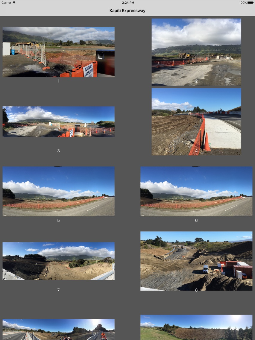
This is a photo collection of the construction of the Kāpiti Expressway, from MacKays crossing to Pekapaka. Formerly called the Sandhills Expressway. This is part of the Roads of National Significance project. The project was planned to cost $640 Million NZD.
Please note, this app will be best experienced on an iPad, but is designed to work on iPhone.
This road will form State Highway 1 through Kāpiti when it is complete at the end of 2016, or early 2017. This will be the new state highway north of Wellington, the capital of New Zealand. The road starts about 45km from the city and parallels the last 15km of the capitals metro network, then about 5km further into the country.
The new Expressway is about 18km of two lane in each direction with a cycle path and walking track. The highway all join onto the Transmission Gully highway which runs south from MacKays crossing to Porirua.
I took these photos over the last couple of years as the project became visible. I have been particularly impresses with the bridge construction, and the earth moving. There are 18 bridges, over the many roads, streams, rivers and wetlands.
Some of the older photos were taken with iPod Touch 4, but later majority of photos are taken with iPhone 6, then iPad Pro.
This app contains photos of the new highway, bridges, construction equipment, cycleway, waterways, replanted areas and more.
Show More
What's New in the Latest Version 1.2
Last updated on Oct 4, 2016
Old Versions
Fixed glitch with double up of photos.
Fixed name of app on device.
Show More
Version History
1.2
Oct 4, 2016
Fixed glitch with double up of photos.
Fixed name of app on device.
Kapiti Expressway Photo Collection FAQ
Click here to learn how to download Kapiti Expressway Photo Collection in restricted country or region.
Check the following list to see the minimum requirements of Kapiti Expressway Photo Collection.
iPhone
iPad
Kapiti Expressway Photo Collection supports English