Kefalonia topoguide
$4.99
1.2for iPhone, iPad
Age Rating
Kefalonia topoguide Screenshots
About Kefalonia topoguide
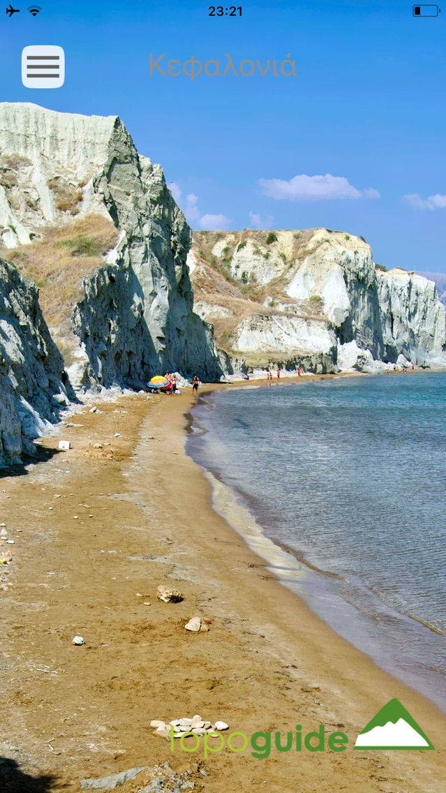
Kefalonia topoguide is a digital field guide for hiking and touring in Kefalonia. It includes routes, descriptions and photos for 20 hiking and mountaineering trails, 2 geological routes, 2 SUV routes and a car route, covering the whole Kefalonia island. Each Adventure has a description, photos and a POIs list.
The application offers detailed offline maps and an extensive introduction on geography, geology, the ancient defensive system, the history and the nature of Kefalonia Island. The app offers also a useful list of POIs with a search feature on the map screen.
The trails list includes easy walks, easy and moderate hiking trails and long mountain traverses, of a total length of 153 km.
Geological routes include all major features of the impressive geological environment of Kefalonia.
Also, a navigation feature allows to calculate routes and distances along roads and paths anywhere in the area.
In the field, the application identifies the nearest route and make active navigation to it and then along it, with continuous messages to the user, while pops-up photos on every interesting or important terrain feature close to his position. If the hiker position is more than 20 meters far from the trail, the application warns him and suggests how to go back.
The cartographic company Topoguide, creator of the application, has issued hundreds hiking maps for Greece (eg. maps of Crete, Zagori, Sifnos, Naxos and other Aegean islands). To build the application and ensuring data accuracy, all tracks and cartographic information have been recorded again during 2015 and 2018.
Show More
What's New in the Latest Version 1.2
Last updated on Oct 9, 2018
Old Versions
New types of routes added: birdwatching, butterflying and flower watching.
Show More
Version History
1.2
Mar 30, 2018
New types of routes added: birdwatching, butterflying and flower watching.
Kefalonia topoguide FAQ
Click here to learn how to download Kefalonia topoguide in restricted country or region.
Check the following list to see the minimum requirements of Kefalonia topoguide.
iPhone
iPad
Kefalonia topoguide supports English


