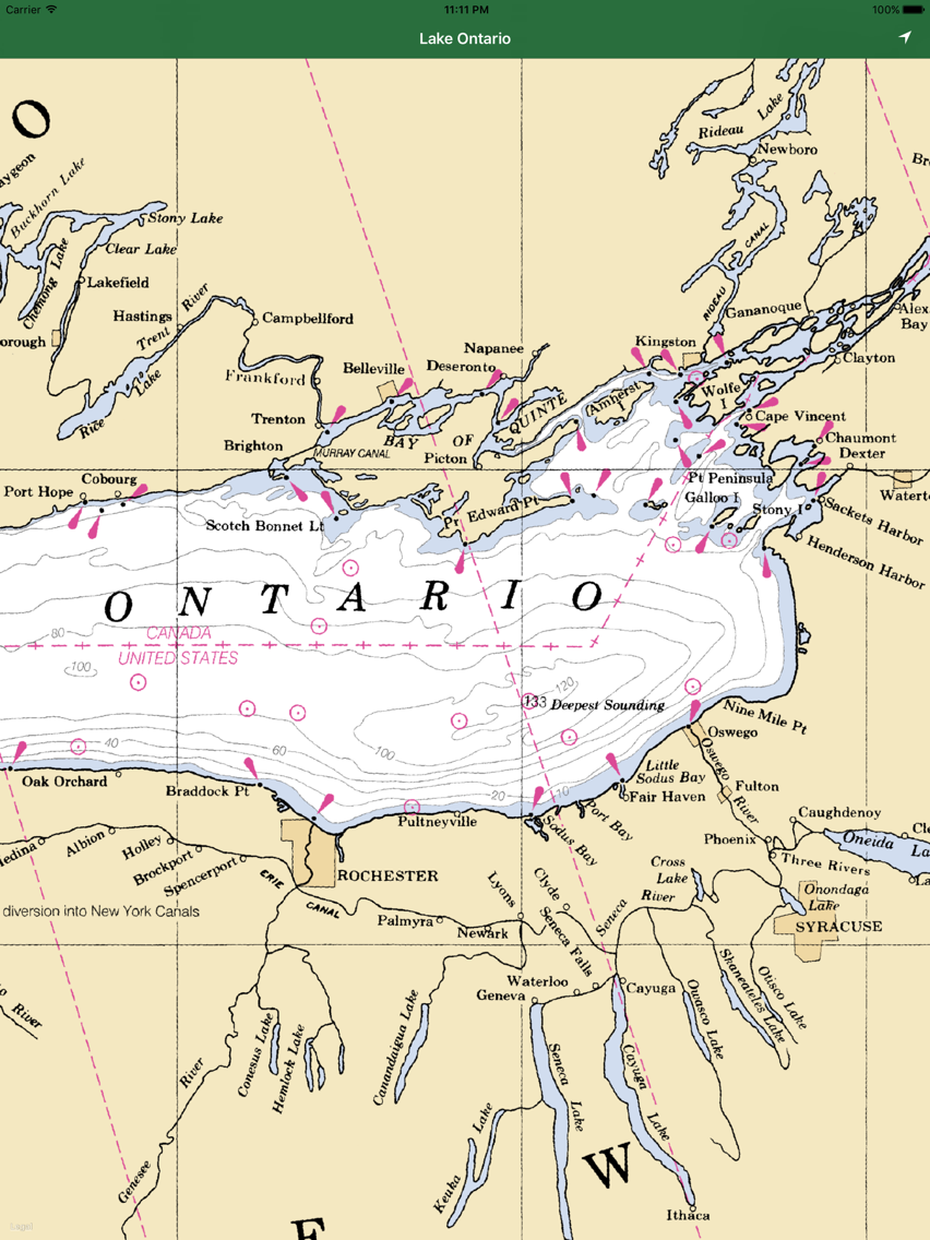
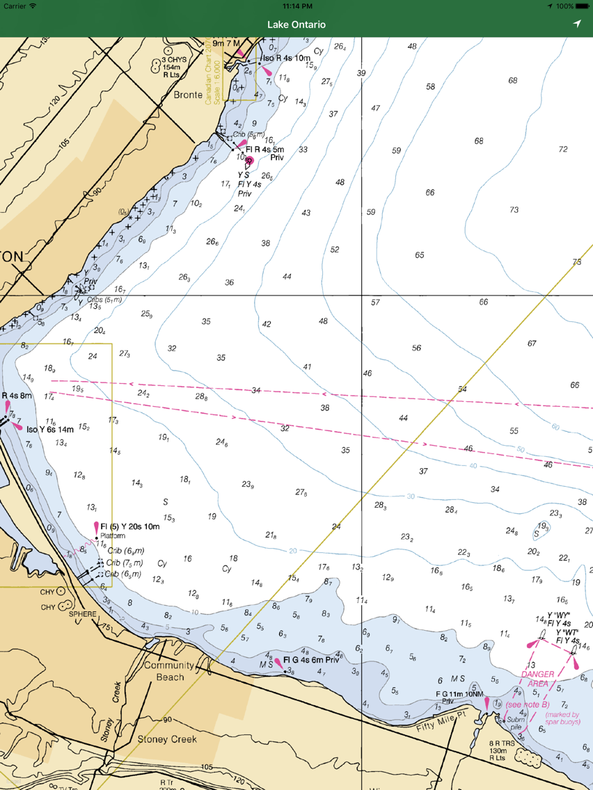
This App offers offline GPS nautical charts, marine navigation maps for fishing, kayaking, boating, yachting, diving, cruising & sailing.
Chart Tiles are created from the latest available NOAA RNCs
This app is most advanced with latest Nautical charts for easy navigation on the sea. Seamless charts display make it easier for sailing.
The Following information is available
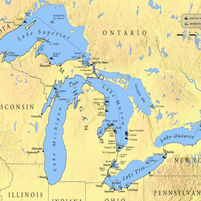
- Complete inland river & lake coverage
- Seamless chart quilting for continuous navigation
- Map details from Coastal, Approaches, Harbour & Inland
- Interactive Compass to find right directions
- GPS location tracking on Offline map