Early Spring 2024
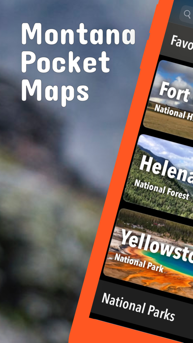
Updates: Upper Missouri River Breaks National Monument, Custer Gallatin National Forest, American Prairie.
Updates: Contains the latest data by the National Park Service (NPS), Bureau of Land Management (BLM), United States Forest Service (USFS) and recreation.gov.
Winter 2023/2024
Updates: Custer Gallatin National Forest
Updates: Contains the latest data by the National Park Service (NPS), Bureau of Land Management (BLM), United States Forest Service (USFS) and recreation.gov.
Early Winter 2023/2024
New: Reduced download size.
Updates: Contains the latest data by the National Park Service (NPS), Bureau of Land Management (BLM), United States Forest Service (USFS) and recreation.gov.
Late Fall 2023
Updates: Lewis & Clark
Updates: Contains the latest data by the National Park Service (NPS), Bureau of Land Management (BLM), United States Forest Service (USFS) and recreation.gov.
Late Summer 2023
Updates: Little Bighorn Battlefield, Helena-Lewis and Clark,
Updates: Contains the latest data by the National Park Service (NPS), Bureau of Land Management (BLM), United States Forest Service (USFS) and recreation.gov.
Summer 2023
New: Watch some interesting videos and audios, produced by the National Park Service.
Updates: Contains the latest data by the National Park Service (NPS), Bureau of Land Management (BLM), United States Forest Service (USFS) and recreation.gov.
Early Summer 2023
New: Added more than 700 bathymetry maps of lakes in Montana.
Updates: Contains the latest data by the National Park Service (NPS), Bureau of Land Management (BLM), United States Forest Service (USFS) and recreation.gov.
Late Spring 2023
New: We remastered all maps for higher quality and optimized data usage.
Updates: Contains the latest data by the National Park Service (NPS), Bureau of Land Management (BLM), United States Forest Service (USFS) and recreation.gov.
Spring 2023
Updates: Custer Gallatin
Updates: Contains the latest data by the National Park Service (NPS), Bureau of Land Management (BLM), United States Forest Service (USFS) and recreation.gov.
Winter 2022/23
New: Earth isn't flat anymore! Check out the new globe view when you zoom way out.
Updates: Contains the latest data by the National Park Service (NPS), Bureau of Land Management (BLM), United States Forest Service (USFS) and recreation.gov.
Early Winter 2022
New: Hyperlocal weather data for every Point of Interest (POI).
Updates: Contains the latest data by the National Park Service (NPS), Bureau of Land Management (BLM), United States Forest Service (USFS) and recreation.gov.
Fall 2022
New: Current weather data and 10-day forecast powered by Apple Weather
Updates: Over Snow Vehicle Use Maps for Helena, Lewis & Clark, and Lolo National Forests.
Updates: Contains the latest data by the National Park Service (NPS), Bureau of Land Management (BLM), United States Forest Service (USFS) and recreation.gov.
Late Summer 2022
Updates: Flathead, Lolo, Idaho Panhandle, Yellowstone
Updates: Contains the latest data by the National Park Service (NPS), Bureau of Land Management (BLM), United States Forest Service (USFS) and recreation.gov.
Summer 2022
New: Redesigned for iPad!
Updates: Contains the latest data by the National Park Service (NPS), Bureau of Land Management (BLM), United States Forest Service (USFS) and recreation.gov.
Early Summer 2022
Updates: Use the new POI search feature and find more than 84000 campground, trailheads, lakes and other points of interest.
Updates: Contains the latest data by the National Park Service (NPS), Bureau of Land Management (BLM), United States Forest Service (USFS) and recreation.gov.
- Applied insect repellent to recently discovered bugs on iPads near you.
- No actual insects were harmed in the making of this latest production.
Late Spring 2022
Updates: Contains the latest data by the National Park Service (NPS), Bureau of Land Management (BLM), United States Forest Service (USFS) and recreation.gov.
Updates: Panhandle, Yellowstone
Spring 2022
Updates: With the latest data by NPS, BLM, USFS
Updates: Yellowstone
Spring 2022
Updates: improved 3D maps
Winter 2021/2022
New: Maps in 3D!
Updates: Custer Gallatin, Yellowstone
Winter 2021
Updates for iOS 15 and iPad
Fall 2021
fix: bug prevented update of national park alerts and news
updates: Custer Gallatin, Pryor Mountains Wild Horse Range, Yellowstone
Summer 2021
updates: with the latest data provided by the National Park Service, U.S. Forest Service and Bureau of Land Management.
Summer 2021
new: Download maps directly from the new "maps" menu
new: Reorder maps
updates: Flathead, Ice Adge Floods, Yellowstone
Spring 2021
fixed: app didn't start on iOS 12 devices
updated: Custer Galatin, Helena-Lewis and Clark