Age Rating
Open Sea Map Nautical Charts Screenshots
About Open Sea Map Nautical Charts
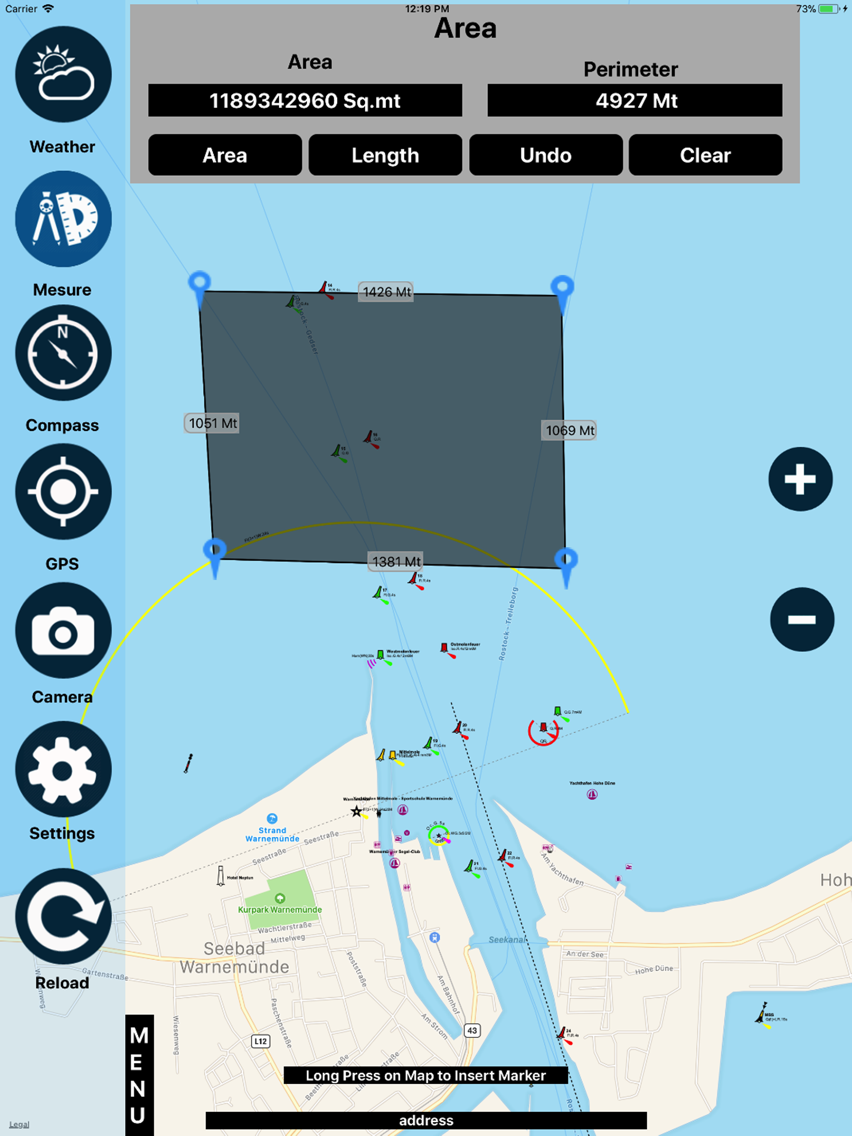
OpenSeaMap App contains information on oceans, rivers, and topography. OpenSeaMap provides access to a wealth of information for skippers of sailing and motor boats and much more.
App Features:
Shows your current location on the map (turn on GPS)
Displays worldwide sea chart
Search for geolocations
Chart plotting with continuous tracking
Settings (units/Compass/Map related functions)
Create, edit & deleted waypoints
Zoom in/out
Weather (Current conditions)
Measure (Area/Length)
Favorites (add/Delete)
GPS Info (Lat/Lon Speed..)
Camera (Photo/video)
OpenSeaMap is part of OpenStreetMap.
---------------------------------------------------------
Simple graphic & Easy to use
Developed with latest technology
Supports all devices
All updates are free
Disclaimer:
Users need Proper Network connections or Wi-Fi to play this app.
Continuous use of GPS running in the background can reduce battery life.
Show More
What's New in the Latest Version 1.0
Last updated on May 11, 2018
Version History
1.0
May 11, 2018
Open Sea Map Nautical Charts Price
Today:
$1.99
Lowest:
$1.99
Highest:
$2.99
Open Sea Map Nautical Charts FAQ
Click here to learn how to download Open Sea Map Nautical Charts in restricted country or region.
Check the following list to see the minimum requirements of Open Sea Map Nautical Charts.
iPhone
iPad
Open Sea Map Nautical Charts supports English


