Fix bug that attachment cannot be displayed on map
Bug fixes and function optimization
Bug fixes and function optimization
1. VIP adjustment
2. Some bug fixes and function optimization
Bug fixes and function optimization
1. Other bug fixes and function optimizations
1. mark, track, and shape objects support the generation of QR codes
2. Support third-party web plug-ins
3. Some bug fixes and function optimization
Bug fixes and function optimization
Bug fixes and function optimizations
1. The newly added model object is used to save 3d model data (DAE format file)
2. Fix the bug that cannot jump in 3D
3. Other bug fixes and function optimizations
1. Shape support random colors
2. Other bug fixes and function optimizations
1. Other bug fixes and function optimizations
1. Add peer-to-peer transmission between the mobile phone and the computer or friends.
2. Add the function of exporting objects to kmz
3. Other bug fixes and function optimizations
1. Added support for DAE format files for large 3D model browsing
2. Program optimization and BUG fixing
1. Program optimization and BUG fixing
1. 3D display optimization
2. Other bug fixes and function optimizations
1. Fix iPad crash
2. Other bug fixes and function optimizations
Bug fixes and feature optimization
Bug fixes and feature optimization
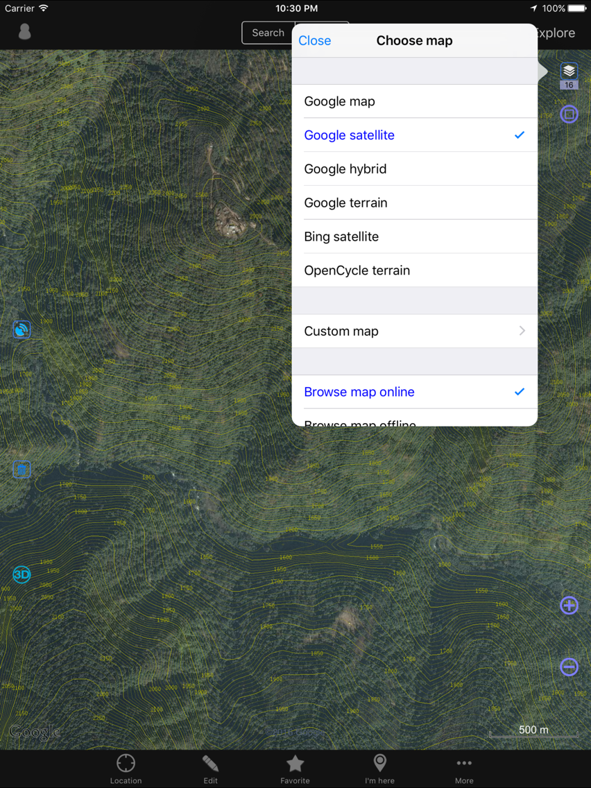
1. Built-in resource satellite interface, VIP can directly access the new map, no need to register 4D earth account
2. bug fixes
1. Fix the bug that elevation overlay could not be opned
2. Add file encoding options when importing txt
3. Support China Resources Satellite map new interface
4. Optimizing the naming rules of objects when importing dxf
Additional information:
For the problem that Ovitalmap can not be found when choose 'Open in Other App' with Kml, GPX and other files, please click the more button on the rightmost to search.
If you still have problems, please send an email to info@ovital.com or ask for help in the forum.
1. Adapt to iOS13
2. Add a quick design toolbar
3. Track adds two new line types
4. Support vector map format OSM (openstreetmap vector map)
5. Optimized 3D module
6. Other bug fixes and feature optimization
1. Add sharing function for location device
2. Bug fixes and functional optimization
1. Add GPS event support of mark
2. Add Watermark function on Camera and album Settings page
3. Add support for friend grouping
4. Bug fixes and functional optimization
1. Add China Resources Satellite Image
2. Redesign the interface of enterprise cloud favorites, make it as convenient as local favorites
3. support import and export pattern fill of DXF file
4. Bug fixes and functional optimization
1. Shape object adds pattern filling function to support gradient, picture and CAD pattern filling
2. Bug fixes and functional optimization
1. Fix the bug of input latitude and longitude at search page
2. Support Google enterprise service Settings from enterprise server
3. Other bug fixes
1. Data management page, add the function of generating mark according to picture location
2. Coordinate input supports UTM format
3. Other bug fixes and feature optimization
1. Add my positioning device function
2. Add graphic cutting function
3. Add the detailed settings of the number of the mark icon
4. Bug fixes and function optimization
1. Add device history track query function
2. Add track point filtering function
1. Optimize background location function
2. Optimize track record function
1. Add Enterprise Cloud Favorites function
2. Bug fixes and function optimization
1. Add built-in map overlay setting function
2. Support importing and exporting CSV format shape and track
3. Add WeChat file sharing function
4. Add the cycling route search and navigation functions
5. Optimization of destination navigation function
6. The main interface photo button supports taking 11 photos with a mark
7. The distance measurement and area measurement results can be saved and sent
8. Bug repair and function optimization
1. Mark attachment repository management
1). Add display associated mark path
2). Add sorting function
3). Adding the function to modify the name based on the associated path
2. Enterprise share manager
1). Automatically detect associated attachments when uploading mark
2). Add upload comment template function
3. Normalize other programs to call the interface of Ovitalmap App.
4. In the iOS System Settings, add 'delete data' configuration.
5. Fix BUG
1. Add enterprise cloud sharing and layer sharing function
2. Track and shape object add entire move function
3. Fix the issue of connecting peripherals without altitude data
4. Fix other BUG
1. The import of the SHP file supports the comment template
2. Fix BUG
1. Upgrade the database to greatly improve the speed of the object loading when the app is started
2. Optimizes the preview window of the object to support preview HTML memo information
3. Mark comment support reference attachments now and the photos are supported when KML is imported
4. Peripherals support track synchronization, which directly import the track into favorite
5. Program optimization and BUG fixing
1. Add comment template function, provide a strong support for enterprise customized comment
2. Peripherals add Beidou number binding function, add cloud position binding management
3. Adapte for iOS 11 and iPhone X
4. Interface optimization and BUG repair
Advanced features add Google API key configuration to solve Google route search failure problem
Fixed BUG which the place and route were not searchable
Fixing the "invalid user" problem when clicking on the message of normal user session window
1. Add enterprise version support
2. Add support CAD spline
3. The mark add 'Electric power' icon
4. Transverse Mercator Projection add 'Simplified parameter' conversion mode
5. Fix BUG
1. Transverse Mercator Projection add Reverse parameter mode
2. Add the quick display and hide button before the favorite object icon
3. Picture attachment and previews add can be saved to album
4. Advanced function add camera settings, you can save the original photo to the album when take pictures
5. Other BUG fixes and interface optimization
1. Fully compatible with the ArcGIS SHP format, to support import and export objects with coordinate system, to support reading coordinate system Prj files and DBF property files
2. Extended transverse Mercator projection settings, allowing all projection parameter settings to better compatibility with other geographical planning software such as arcgis/mapinfo etc.
3. The destination navigation extend the point number to 100, and support load track or route for destination navigation
4. The choose map page add white and grey background mode, easy to observe the CAD object
5. The choose map page add latitude and longitude grid display
6. The user login page support clear the login user now
7. Receving the object from a frined can be collected and displayed at once
8. Other optimizations and BUG fixes
1. Support for displaying mark comment on the map
2. The mark icon allows you to overlay numbers or letters
3. The Relevance point adopts the project management, Convenient multi-project switching
4. Support batch modification at "Search object" page, custom names support search and replace
5. Fix BUG