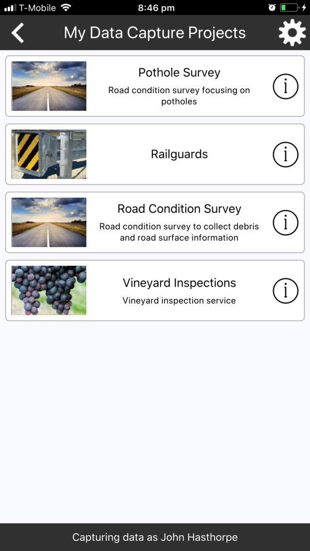
QuickCapture is a field data capture app that lets you capture data fast!
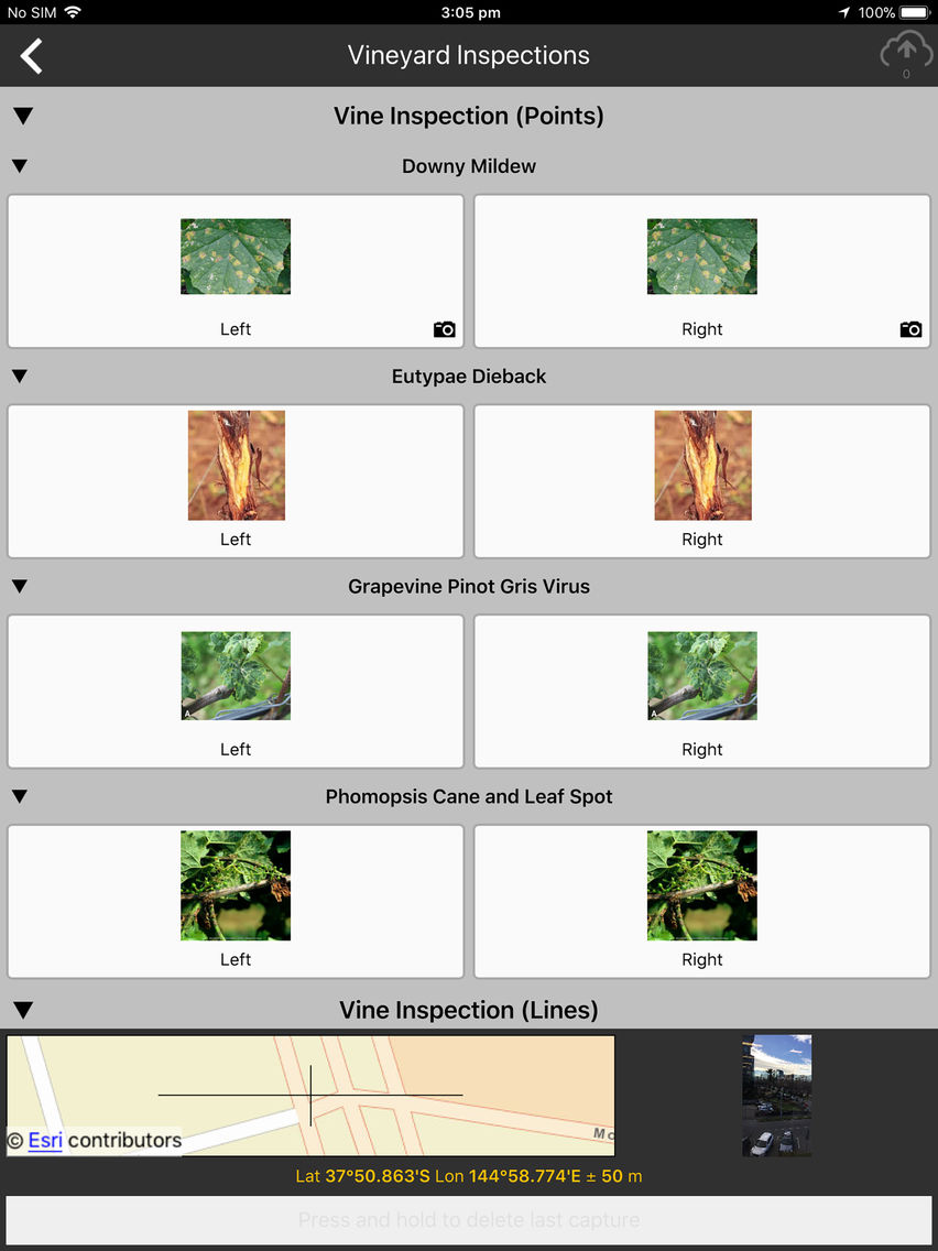
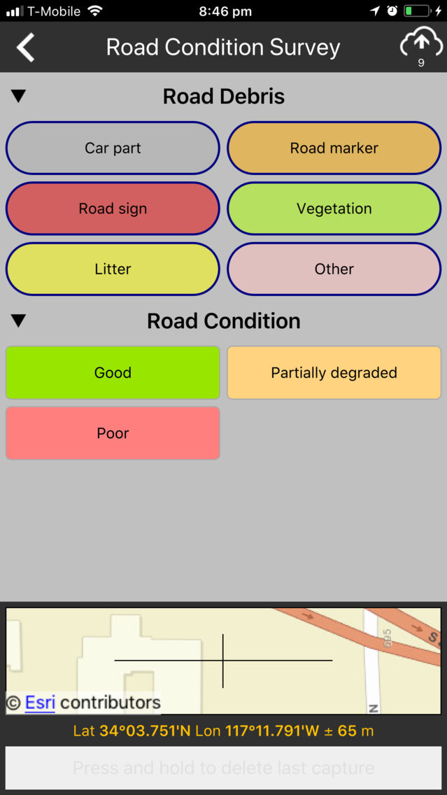
With the push of a button, you can capture both the location and attributes of assets or incidents as you travel. The app is highly configurable, giving full control over the arrangement of buttons, what they look like, the information they collect, and it allows you to capture both photos and sensor information coming from the device.
Note that QuickCapture is an Esri app and requires a Level 2 ArcGIS named user account for use.