This version brings some updates to improve the usability of the app and make check-ins even easier.
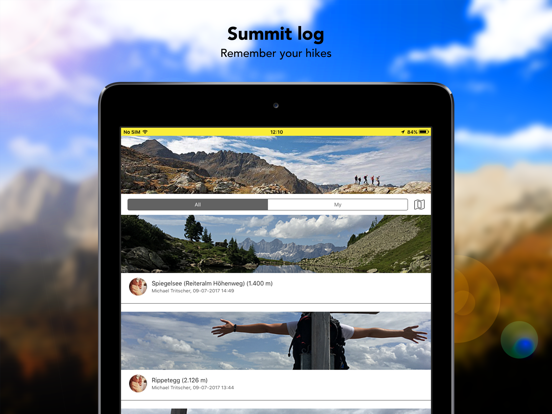
- New bottom sheet to show nearby locations in the log book
- This sheet also shows more then one location of more locations are nearby
- It also shows the current region if no location is nearby
- New navigation icons
- Push notifications for nearby locations
- New app icon
- As always some improvements and bug fixes
This update adds the possibility to tag friends and companions at check-ins. Show with whom you are hiking!
Some other bug fixes and improvements under the hood (also fixes from version 4.0).
This update adds the possibility to tag friends and companions at check-ins. Show with whom you are hiking!
Some other bug fixes and improvements under the hood.
We are proud to have a new release ready for our beloved users and all outdoor enthusiasts out there.
What's new:
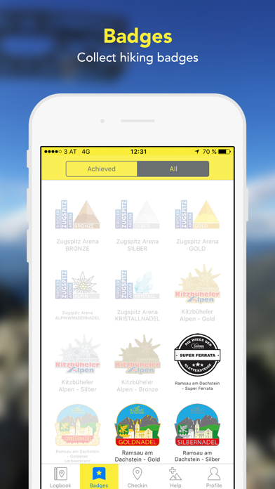
- In this release we improved the organisation of our badges and they are now organised in regions and much easier to find
- New profile view with all the stuff belonging to you
- New and much improved mySOS screen
- Some other improvements and tweaks
For questions and support contact us at support@summitlynx.com.
Thanks for using our app and is a please to release a new shiny version of our app!
Our valued users requested, we listened and therefore we added the possibility to add previous check-ins!
Other improvements:
- You can now add some meta information to your check-ins as elevation, time, weather conditions and tour type
- We added some fancyness by adding some animations and confirmation transitions
- Basic usage of the app is now also possible without registration
- Other smaller interface improvements and performance tweaks
This update includes a feature which should help you collect more points for trophies. With suggested checkins you will never miss points for your much desired trophies again, as the app uses iOS' background location service to suggest checkins you passed during the day.
As always this update also includes some bug fixes and improvements. For any feedback or wishes, please send an email to support@summitlynx.com.
Happy hiking!
We are ready for the hiking season 2019 with some cool new features and improvements:
- Emergency notification system: An emergeny SMS is send to a contact person, if you don't return from a tour as planned. This feature was developed together with the Styrian (Austria) mountain rescue service.
- Map view for trophies: See where you can earn points for our trophies with our new map view
- New map marker for places you have visited: See where you've already been on the map with our new map marker
- Apple Watch support: Checkin easy and fast using your Apple Watch
- Smaller changes, improvements and bugfixes as always :-)
We are delighted to present you two great new features: Suggested routes, in some of our partner regions and a bucket list
Suggested routes:
Find the best routes around you and follow those tracks.
Bucket list:
Star nice places and routes for later to easily find them again.
As usual this update also includes several improvements and bug fixes.
Some bugfixes and general improvements.
Doesn't help to climb a mountain faster, but improves the app quite a bit. :)
We spent some great days out in the mountains testing our updated app and included the findings in this version. This update includes notifications for archived trophies, show different map marker for featured locations, improves the update of the location database and fixes some minor uses.
This version is completely refreshed and besides the existing features contains a great outdoor map and statistics of your achievements.
Furthermore the update contains improved offline functionalities and performance.
We wish you nice days outside exploring and fun with our app!
- Fixed bug with crash on launch
- Improved sync of offline locations
- Necessary change for Facebook functions
- Smaller fixes and improvements
- Improved sync of offline locations
- Necessary change for Facebook functions
- Smaller fixes and improvements
We included a privacy setting and some other minor improvements in this update. Nothing fancy but some tweaks for a good experience.
We wish you some nice days on the mountains!
If you have questions or suggestions we are glad for your email at support@summitlynx.com.
With this update we improved the detail view of portrait mode images, added a new privacy setting, added a link to our FAQs in the settings view and some other minor improvements.
We wish you some nice days on the mountains!
If you have questions or suggestions we are glad for your email at support@summitlynx.com.
This update addresses an update of the Facebook API and some minor bug fixes.
We wish you some nice days on the mountains!
If you have questions or suggestions we are glad for your email at support@summitlynx.com.
With this update we tweaked the general load time and made some adoptions for iOS 8.
As always: If you have questions or suggestions we are glad for your email at support@summitlynx.com.
With this update we tweaked the load time of the feed and improved the offline synchronisation of the location database. Nothing fancy, but important to make the app more useable.
As always: If you have questions or suggestions we are glad for your email at support@summitlynx.com.
With this update we tweaked the load time of the feed and improved the offline synchronisation of the location database. Nothing fancy, but important to make the app more useable.
As always: If you have questions or suggestions we are glad for your email at support@summitlynx.com.
Fixed bug with location updates
In this release we further improved the offline synchronization, added a new "Explore" tab and the possibility to see the badges in the current region (available in some regions in Austria) and some other improvements which make the use of the app even more fun.
We wish you some nice days on the mountains!
If you have questions or suggestions we are glad for your email at support@summitlynx.com.