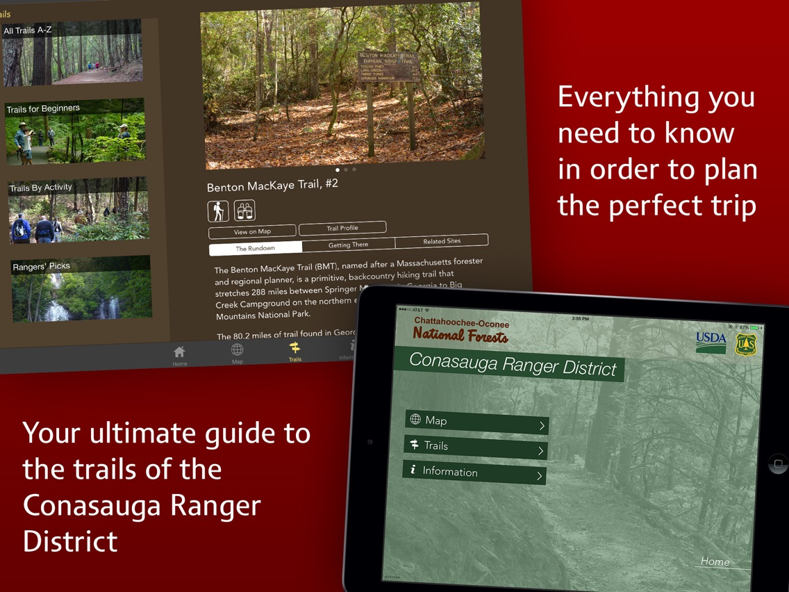
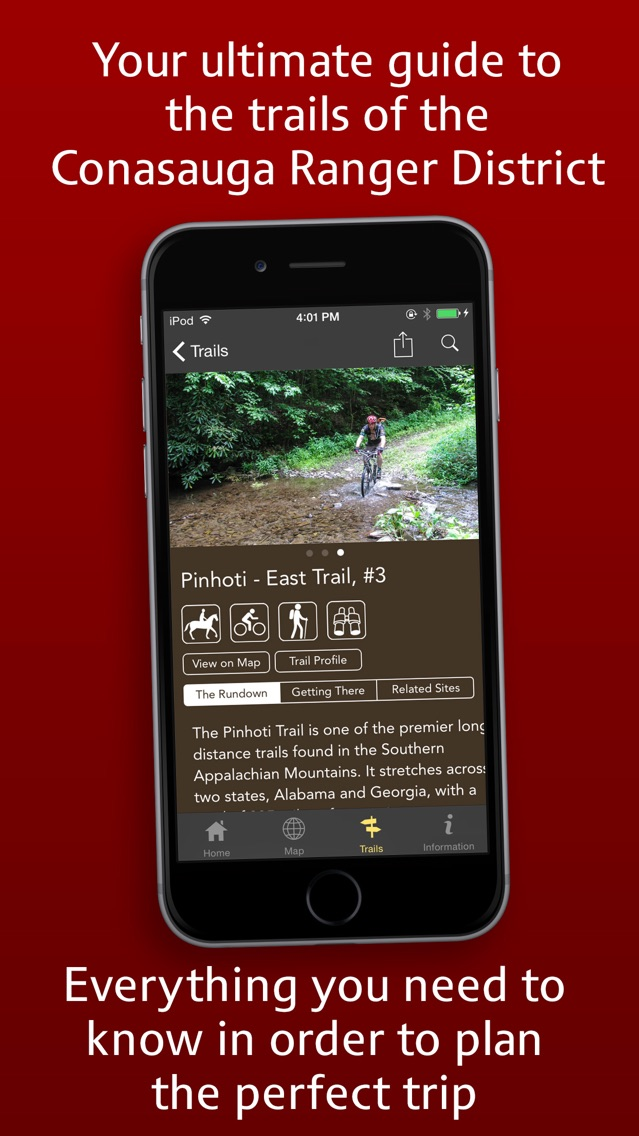
This is the official trail app for the Conasauga Ranger District of the Chattahoochee and Oconee National Forests. Now you have all the information you need in the palm of your hand to help you navigate and experience the trails of the Conasauga Ranger District of Georgia’s two national forests. This FREE app includes a wide range of trails for hikers, backpackers, mountain bikers, equestrians, and off-road riding. The included trails provide all levels of difficulty. Some trails will challenge the most seasoned trail user while others are great for beginners looking for a short, easy walk in the woods.
Please see our other Apps for the entire forest and the Blue Ridge, Chattooga River, and Oconee Ranger Districts.
Features of the app include:
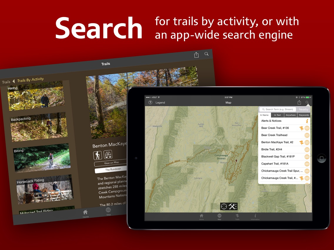
Interactive map of the Conasauga Ranger District – Zoom in and out to find trails of interest. Tapping a blue interactive trail reveals the name of the trail that leads to complete information about the trail including:
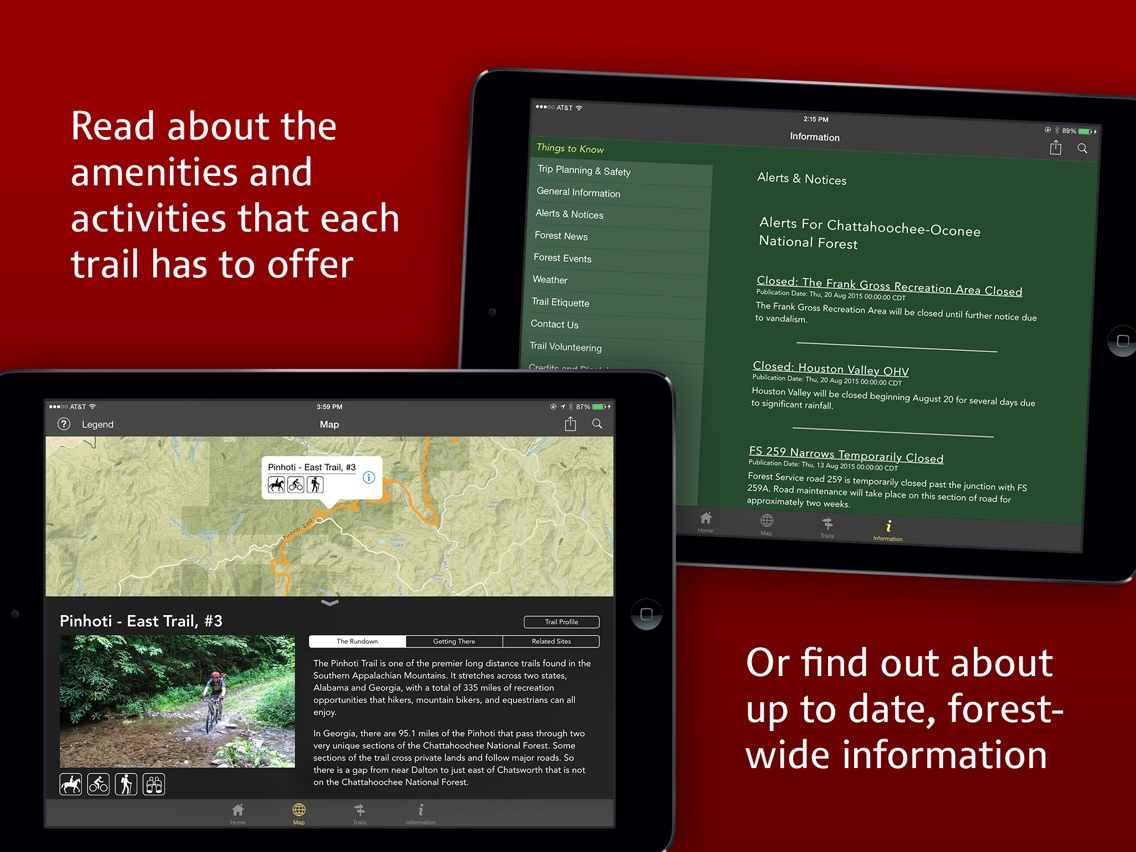
Photographs of trailheads and trails
* A rundown that describes the key information about the trail
* Written directions how to get there
* Navigation and turn-by-turn directions to each trailhead (GPS and Internet connection required)
* See other features related to the trail such as other nearby trails, waterfalls and recreation areas.
* Share information popular social media platforms
Map and Navigation tools include:
* Identify your location
* Points of Interest visibility: turn them on or off
* Create a custom point marker with the name of your choice, latitude and longitude coordinates, notes and photos
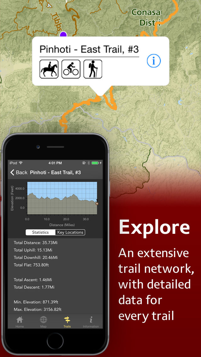
* Terrain profiles and statistics of each trail which also show your location (GPS required)
* Get the bearing from your location to another point on the map
* Identify the map center latitude and longitude and UTM coordinates. Pan the map to identify any other position.
* Built in compass.
A Categorized List view – Find trails for beginners, types of use, our Rangers picks, or the A to Z list that includes all the trails in the app.
Things to Know – A variety of information including:
* News & Information – Stay informed about current forest news, events and alerts.
* Answers to the questions most often asked -- the things to know before you go
* Phone numbers for emergency help and more information
The Chattahoochee-Oconee National Forests feature nearly 867,000 acres across 26 counties, hundreds of miles of clear-running streams and rivers, 850 miles of recreation trails, and dozens of campgrounds, picnic areas, and other recreation activity opportunities. These lands are rich in natural scenery, history and culture. The mission of the USDA Forest Service is to sustain the health, diversity, and productivity of the nation's forests and grasslands to meet the needs of present and future generations. The Chattahoochee-Oconee National Forests is part of the Southern Region, with the Forest Supervisor’s office in Gainesville, Georgia, managing four District units in Blairsville (Blue Ridge District), Lakemont (Chattooga River District), Chatsworth (Conasauga District), and Eatonton (Oconee District).