Archaeo-Pad has been designed to work the way that archaeologists do, aiming to only enter data once but letting you decide how you want to use it.
Data Collection features include:
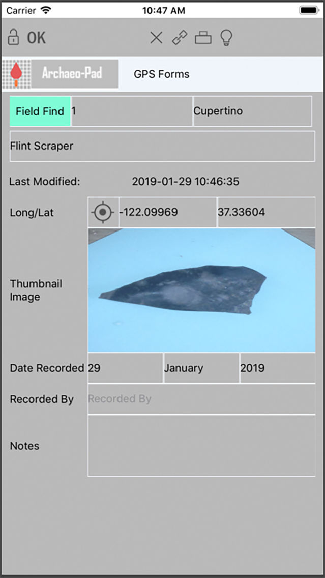
Includes forms for Cut, Deposit, Structure, Plan, Section, Levels, Small Finds, Samples and Photos.
Comprehensive set of value lists for eg colour, inclusions, texture, slope.
Keeps track of context relationships and links between contexts, plans, finds etc
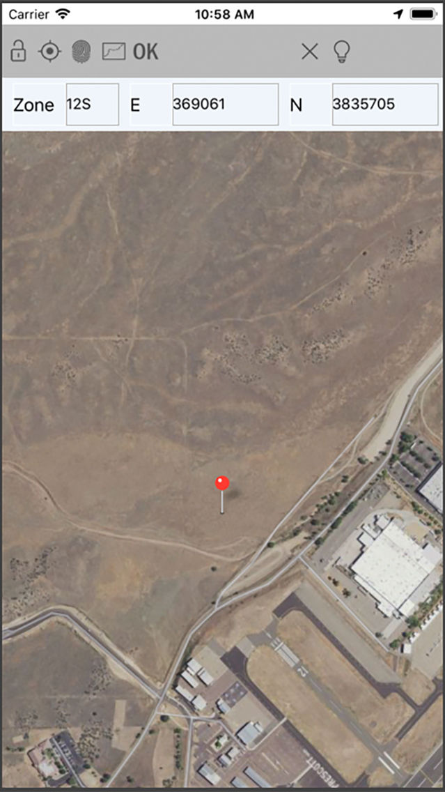
Level form does level calculations for you and lets you link levels to plans, finds, samples
For Admin:
Folder system allows you to organise your work as you like
Export data to print (HTML) or in CSV format to produce or analyse lists of finds, contexts, photos etc
Backup data or exchange with other users - with regular backup reminders
Create your own custom forms - use one of ours as a starting point, use our pre-defined files or start completely from scratch. Then share your standard forms with other users to make sure all your diggers work the same way.