Buoy Map
Map of ocean/lake buoy data
USD 1.99
1.4for iPhone, iPad and more
Age Rating
لقطات الشاشة لـ Buoy Map
About Buoy Map
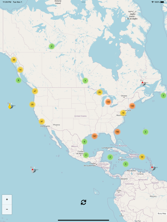
Buoy data includes (each buoy has a different set of instruments so not all sensors apply to every buoy):
* Graph of 48hr wave height
* Wind Direction
* Wind Speed
* Wind Gust Speed
* Wave Height
* Dominant Wave Period
* Average Wave Period
* Wave Direction
* Air Pressure
* Air Pressure Trend
* Air Temperature
* Water Temperature
I plan to add new features frequently and I hope that you find this app helpful. Suggestions and constructive criticism is welcome.
Enjoy!
Open Source Credits: this Buoy Map app uses OpenStreetMap.org as a map provider and Leaflet.js as the map and icon engine.
Show More
تحديث لأحدث إصدار 1.4
Last updated on 02/11/2022
الإصدارات القديمة
Added historical 48 hour graph of wave height data if present on buoy
Show More
Version History
1.4
02/11/2022
Added historical 48 hour graph of wave height data if present on buoy
1.3
07/01/2020
Fixed issue with buoys not appearing on some devices.
1.0
05/12/2018
Buoy Map FAQ
انقر هنا لمعرفة كيفية تنزيل Buoy Map في بلد أو منطقة محظورة.
تحقق من القائمة التالية لمعرفة الحد الأدنى من المتطلبات Buoy Map.
iPhone
Requiere iOS 12.0 o posterior.
iPad
Requiere iPadOS 12.0 o posterior.
iPod touch
Requiere iOS 12.0 o posterior.
Buoy Map هي مدعومة على اللغات Inglés