Age Rating
NOAA Buoy Stations & Ships Sea Capturas de tela
About NOAA Buoy Stations & Ships Sea
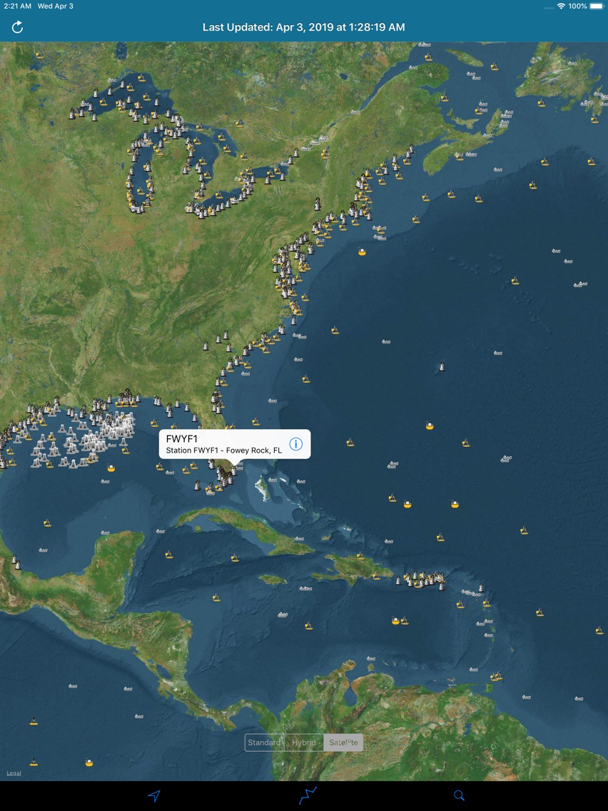
The NOAA Buoy Stations and Ships Pro map is a unique app that allows sailors and boaters to retrieve weather & Tide (Water Level) observations data from NOAA's National Data Buoy Centre (NDBC).
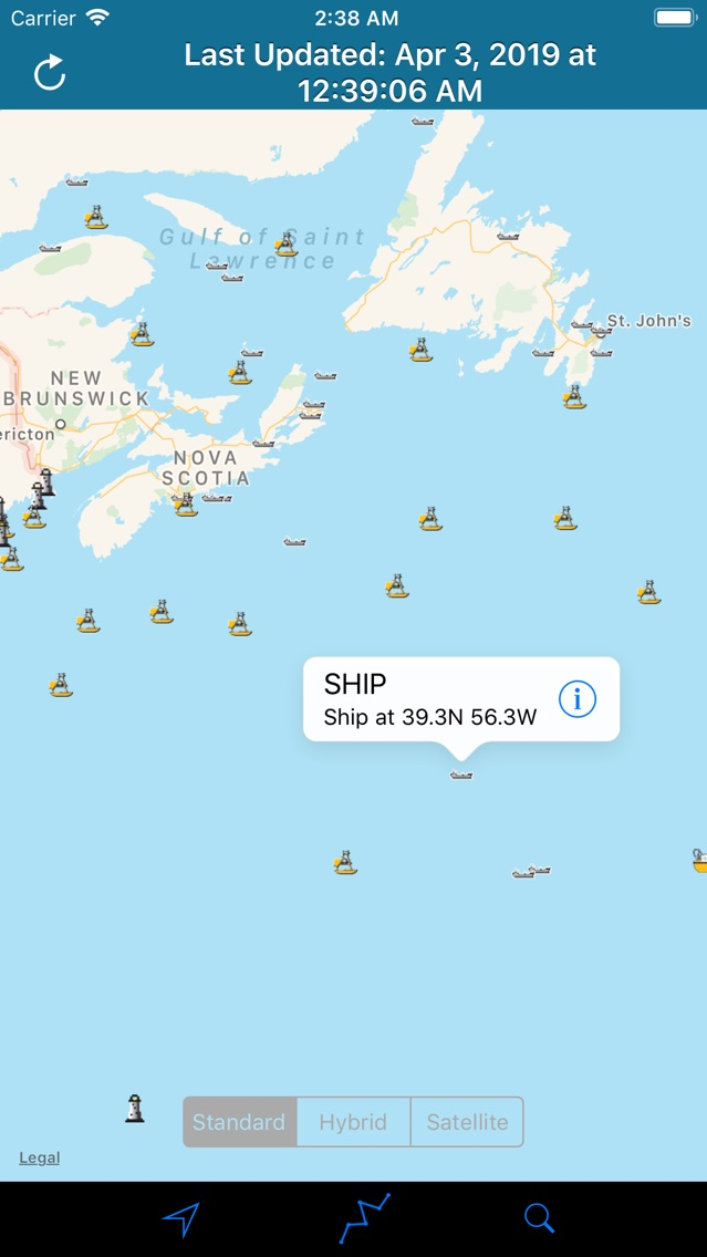
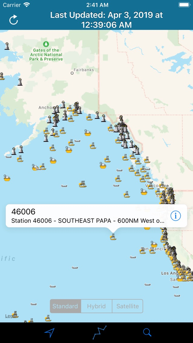
This Map displays Real Time Observations data for Moored Buoys, TAO, Tsunami, Fixed Platforms, Oil & Gas Platforms and Ships.
Search your known Buoy Stations and get all the NOAA information for Wind Speed, Wind Direction, Tide Table, Wind Gust, Air Temperature, Water Temperature, Dew Point and more parameters…
All Buoy Stations are displayed on the maps (Street, Hybrid, Satellite).
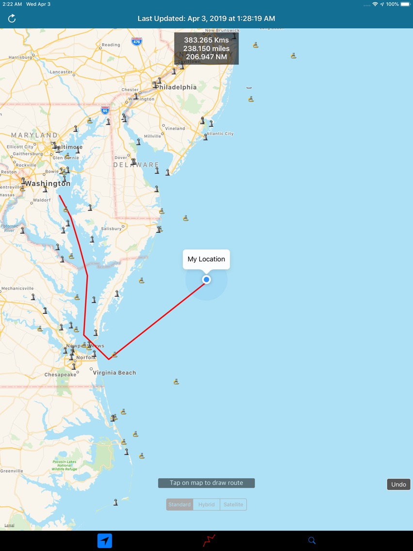
Draw Route and Measure Tool to calculate Sea Route on Map.
Note:
1) Internet connection is required to fetch data for the First Time and Every Update further.
2) Tsunami Water Level Charts will not be available in Offline Mode.
3) Observations derived and presented from NOAA (National Data Buoy Centre) are for reference purpose only and Not For Navigation.
Show More
Novidades da Última Versão 3.5
Last updated on Dec 17, 2019
Versões Antigas
Compatible to iOS 13.
Show More
Version History
3.5
Dec 17, 2019
Compatible to iOS 13.
3.0
Apr 3, 2019
Compatible to iOS 12.
Supports iPhone X, iPhone XS, iPhone XR, iPhone XS Max, iPad Pro 11 inch & iPad Pro 12.9 inch 3rd generation.
Search buoy stations by name feature improved.
Minor bugs fixed.
Supports iPhone X, iPhone XS, iPhone XR, iPhone XS Max, iPad Pro 11 inch & iPad Pro 12.9 inch 3rd generation.
Search buoy stations by name feature improved.
Minor bugs fixed.
1.0
Apr 11, 2017
Preço de NOAA Buoy Stations & Ships Sea
Hoje:
$0.99
O Mais Baixo:
$0.99
O Mais Alto:
$1.99
NOAA Buoy Stations & Ships Sea FAQ
Clique aqui para saber como baixar NOAA Buoy Stations & Ships Sea em um país ou região restrita.
Confira a lista a seguir para ver os requisitos mínimos de NOAA Buoy Stations & Ships Sea.
iPhone
iPad
NOAA Buoy Stations & Ships Sea suporta English


