
MapSize
Gratis
1.9for iPhone, iPad
Age Rating
MapSize Screenshots
About MapSize
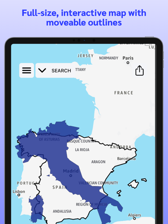
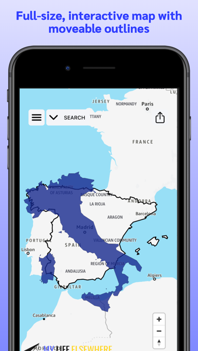
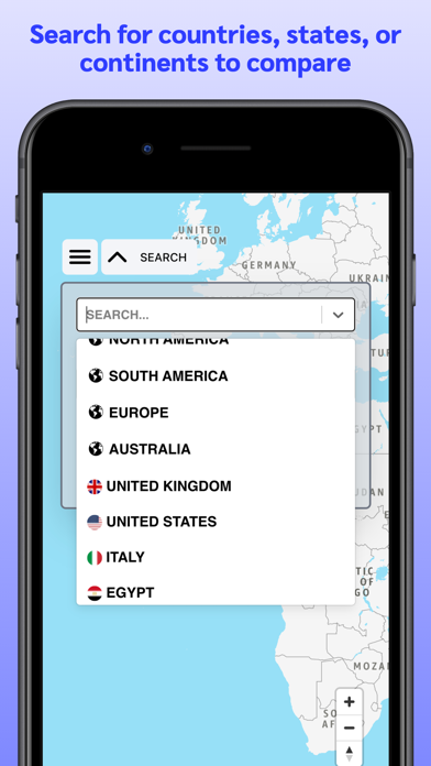
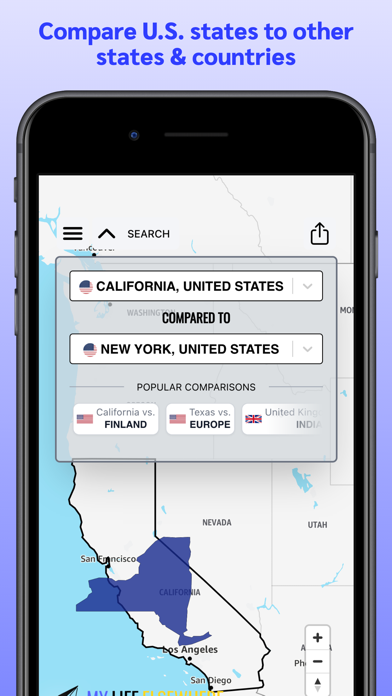
Traditional maps use the Mercator projection due to the earth's spherical shape, which distorts the size of countries near the poles. Because of this, you may be surprised to see how big some countries really are in comparison to others! With this app you can compare any two territories, move them around, and learn interesting statistics about their relative sizes.
This is an excellent educational tool for students and teachers interested in geography.
Show More
Was ist neu in der neuesten Version 1.9
Last updated on Feb 17, 2026
Alte Versionen
Added ability to share comparisons, track exploration progress, and rotate territories.
Show More
Version History
1.9
Feb 17, 2026
Added ability to share comparisons, track exploration progress, and rotate territories.
MapSize FAQ
Klicken Sie hier, um zu erfahren, wie Sie MapSize in eingeschränkten Ländern oder Regionen herunterladen können.
Überprüfen Sie die folgende Liste, um die Mindestanforderungen von MapSize zu sehen.
iPhone
iPad


