DroneMaps
$4.99
1.3for iPhone, iPad
Age Rating
DroneMaps Screenshots
About DroneMaps
Whether you're a hobbyist or professional drone pilot, DroneMaps makes it easy to view FAA Sectionals and UAS Facility Maps.
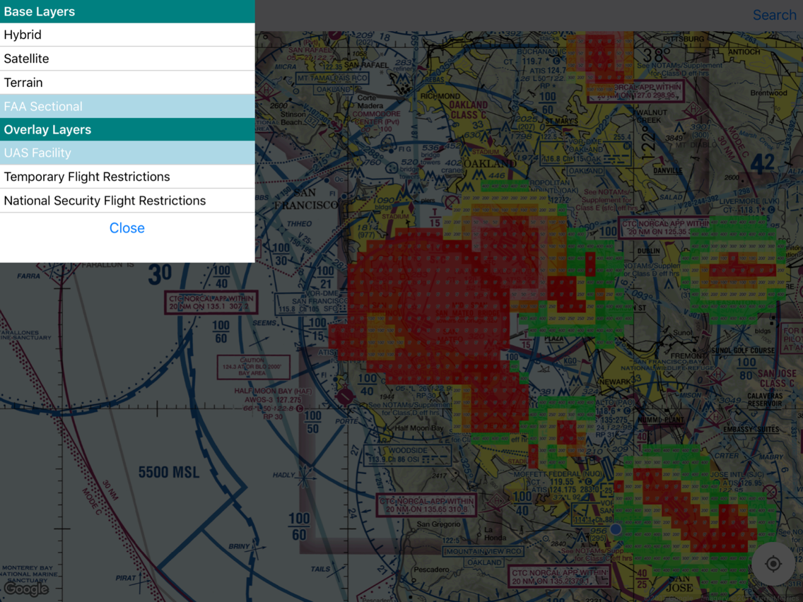
You'll use the compass icon to center the map on your location. Then click on the layer icon to select a base layer and overlay.
Base layers include Google Maps and FAA Sectionals. You can toggle UAS Facility Maps as an overlay on one of the base layers.
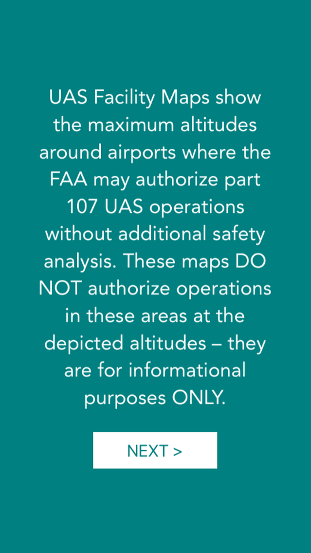
UAS Facility Maps show the maximum altitudes around airports where the FAA may authorize part 107 UAS operations without additional safety analysis. These maps DO NOT authorize operations in these areas at the depicted altitudes – they are for informational purposes ONLY.
DroneMaps is a work in progress and I plan on releasing more layers in the near future. If you have any suggestions please reach out to me on YouTube: https://www.youtube.com/dennisbaldwin
Show More
What's New in the Latest Version 1.3
Last updated on Jan 25, 2018
Old Versions
- Updated FAA sectional charts
- You can now zoom one layer closer into FAA sectionals
- You can now zoom one layer closer into FAA sectionals
Show More
Version History
1.3
Jan 25, 2018
- Updated FAA sectional charts
- You can now zoom one layer closer into FAA sectionals
- You can now zoom one layer closer into FAA sectionals
DroneMaps FAQ
Click here to learn how to download DroneMaps in restricted country or region.
Check the following list to see the minimum requirements of DroneMaps.
iPhone
iPad
DroneMaps supports English


