GeoPard Agriculture

GeoPard Agriculture


Free

2.6.11for iPhone, iPad
FlyPard
Developer
Apr 15, 2026
Update Date
Business
Category
Age Rating
4+
Apps in this category do not contain restricted content.
9+
Apps in this category may contain mild or occasional cartoon, fantasy or real-life violence, as well as occasional or mild adult, sexually suggestive or horrifying content and may not be suitable for children under 9 years of age.
12+
Apps in this category may contain occasional mild indecent language, frequent or intense cartoon or real-life violence, minor or occasional adult or sexually suggestive material, and simulated gambling, and may be for children under 12 years of age.
17+
You must be at least 17 years old to access this App.
Apps in this category may contain frequent and intense offensive language; Frequent and intense cartoon, fantasy or realistic violence: frequent and intense adult, scary and sexually suggestive subjects: as well as sexual content, nudity, tobacco, alcohol and drugs, may not be suitable for children under 17 years of age.
GeoPard Agriculture Screenshots
GeoPard Agriculture posterGeoPard Agriculture posterGeoPard Agriculture posterGeoPard Agriculture posterGeoPard Agriculture posterGeoPard Agriculture posterGeoPard Agriculture posterGeoPard Agriculture poster

About GeoPard Agriculture

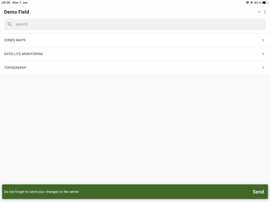
GeoPard Agriculture mobile enables you to have all your farm data in your pocket.
GeoPard is a cloud-based powerhouse and mobile apps for precisionAg data with business intelligence capabilities.
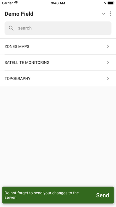
GeoPard Variable Rate (VR) prescription maps are used for fertilizing, crop protection, seeding, irrigation, desiccation, optimization of crop inputs and yield while preserving resources.

The GeoPard engine is capable of processing satellite imagery, soil sampling, yield data, high-density sensor, and topography data.

GeoPard provides:
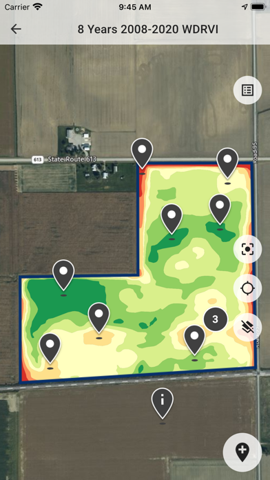
- Offline maps. See your farm data layers in the field without internet
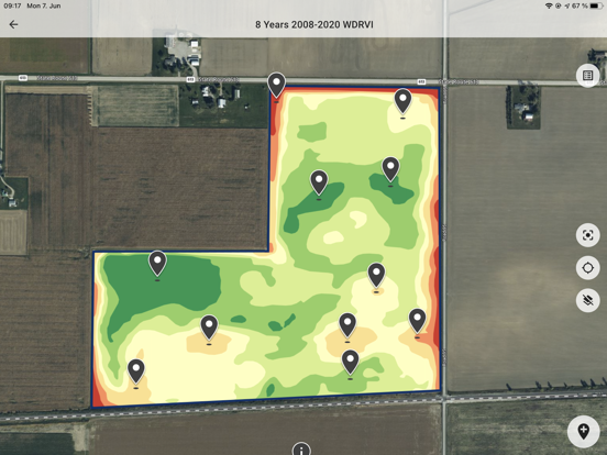
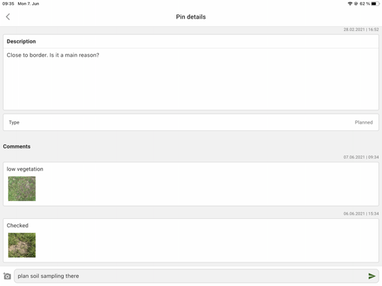
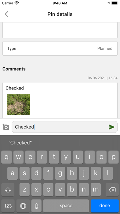
- Soil sampling planning
- Soil sampling results analytics
- MyJohnDeere Ops center integration
- As-applied data visualization and analytics
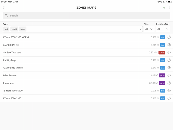
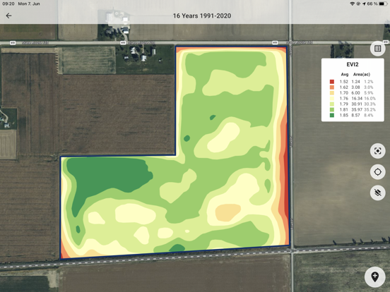
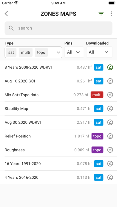
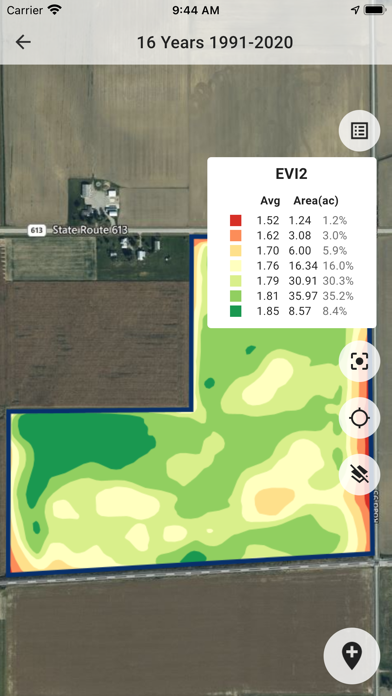
- Automated multi-year field potential zones (up to 32 years) and in-season field management zones
- Variable rate application (Prescription/Rx) maps
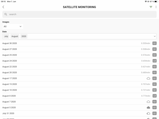
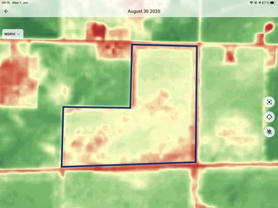
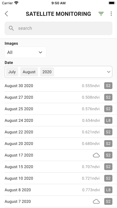
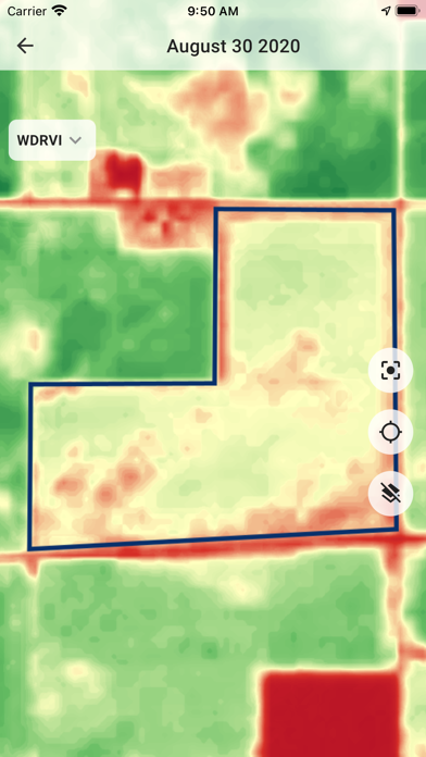
- Field and region level satellite monitoring (12 indices, incl. LAI, EVI, NDVI, NIR, etc.)
- Stability zones
- Management zones module to build your perfect VR map based on several data layers
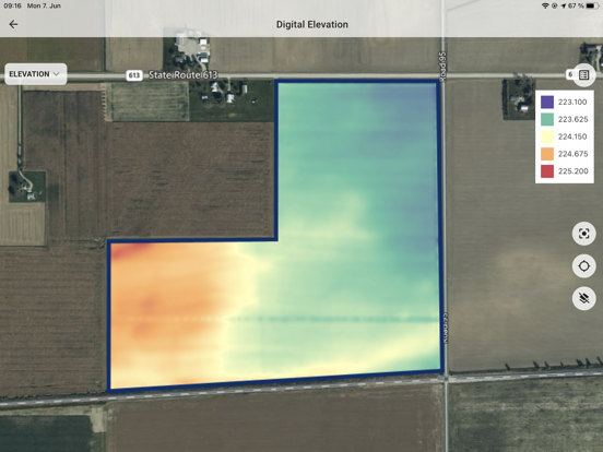
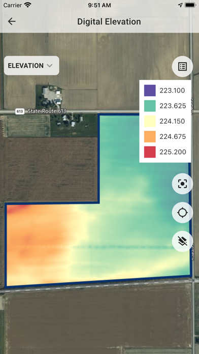
- Advanced Topography profile: Slope/Elevation/Aspect/Relief position based on remote sensing and machinery datasets
- Yield data analytics
- High-density sensor data analytics (EC, scanners)
- Detection of dependencies between data layers

More details in our blog https://geopard.tech/blog

Show More

What's New in the Latest Version 2.6.11

Last updated on Apr 15, 2026
Old Versions
- Bug fixes and stability improvements
- Updated framework and dependencies for better compatibility
Show More
Version History
2.6.11
Apr 15, 2026
- Bug fixes and stability improvements
- Updated framework and dependencies for better compatibility

GeoPard Agriculture FAQ

Click here to learn how to download GeoPard Agriculture in restricted country or region.
Check the following list to see the minimum requirements of GeoPard Agriculture.
iPhone
iPad

GeoPard Agriculture Alternative

You May Also Like