MAGE by NGA

MAGE by NGA


Gratuit

4.2.2for iPhone, iPad
Age Rating
4+
Apps in this category do not contain restricted content.
9+
Apps in this category may contain mild or occasional cartoon, fantasy or real-life violence, as well as occasional or mild adult, sexually suggestive or horrifying content and may not be suitable for children under 9 years of age.
12+
Apps in this category may contain occasional mild indecent language, frequent or intense cartoon or real-life violence, minor or occasional adult or sexually suggestive material, and simulated gambling, and may be for children under 12 years of age.
17+
You must be at least 17 years old to access this App.
Apps in this category may contain frequent and intense offensive language; Frequent and intense cartoon, fantasy or realistic violence: frequent and intense adult, scary and sexually suggestive subjects: as well as sexual content, nudity, tobacco, alcohol and drugs, may not be suitable for children under 17 years of age.
MAGE by NGA Captures d'écran
MAGE by NGA AfficheMAGE by NGA AfficheMAGE by NGA AfficheMAGE by NGA AfficheMAGE by NGA Affiche

About MAGE by NGA

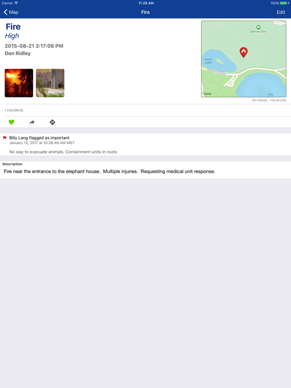
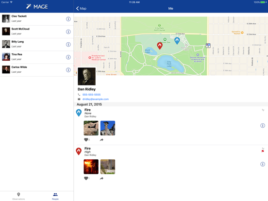
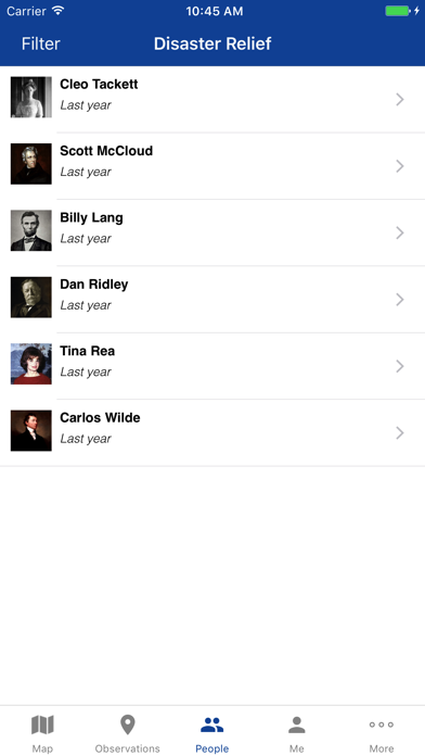
The MAGE app provides dynamic capabilities for mobile situational awareness. Originally developed to support first responders deploying in the event of natural disasters, the MAGE app on your mobile device allows you to create geotagged field reports and observations that contain media such as photos, videos and voice recordings and share them instantly with other members of your team.

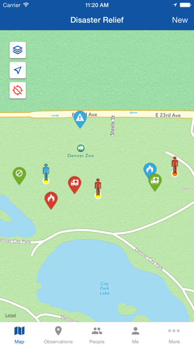
Using the GPS in your mobile device, MAGE can record user locations in real time. Your locations can be automatically shared only with the other members of your team. The app remains functional if your mobile device loses its network connection and will upload its local content when a connection is reestablished.

Geospatial data layers, including map tiles and vector data, can be stored on your mobile device and are available at all times. When disconnected from the network, MAGE will use local data layers to continue to provide relevant geospatial information to teammates. MAGE is customizable and can be tailored to your team's situation.

The National Geospatial-Intelligence Agency is releasing this application to the general public to increase the impact of government investments in unclassified mobile initiatives. MAGE is not hosted or managed by NGA, in order to use it you will need to get access to your agency or managing entities server.

Note: Continued use of GPS running in the background can dramatically decrease battery life.

Show More

Quoi de neuf dans la dernière version 4.2.2

Last updated on May 13, 2026
Vieilles Versions
Bug Fixes and Improvements
• Fixes duplicate polygon rendering on map.
• Fixes dark mode cursor color in form text field and text areas.
• Fixes crashes when syncing feeds, flagging important observations, or logging out.
• Moves the Done/Cancel buttons above the iOS 26 keyboard.
• Moves compass below the Layer button on iOS 18 and iOS 26.
• Fixes padding on Change Password screen's show password toggle on iOS 26.
• Security fix: New user account creation does not print password in plaintext Console logs.
Show More
Version History
4.2.2
May 13, 2026
Bug Fixes and Improvements
• Fixes duplicate polygon rendering on map.
• Fixes dark mode cursor color in form text field and text areas.
• Fixes crashes when syncing feeds, flagging important observations, or logging out.
• Moves the Done/Cancel buttons above the iOS 26 keyboard.
• Moves compass below the Layer button on iOS 18 and iOS 26.
• Fixes padding on Change Password screen's show password toggle on iOS 26.
• Security fix: New user account creation does not print password in plaintext Console logs.

MAGE by NGA FAQ

Cliquez ici pour savoir comment télécharger MAGE by NGA dans un pays ou une région restreints.
Consultez la liste suivante pour voir les exigences minimales de MAGE by NGA.
iPhone
iPad

Alternative à MAGE by NGA

Tu pourrais aussi aimer

Obtenir plus de National Geospatial-Intelligence Agency