This application is the field side of Grid Map It platform for fast and effective completion of a project that needs completed by a broad number of industries. This is the first of its kind in live geo-tracking over GIS data all while assigning assets to a grid cell to show progress of projects. If you are looking to increase efficiency and provide real time data of your operation. Allow Grid Map It to accommodate your company in achieving these goals. Don't wait for the information you need to finish the job you have.
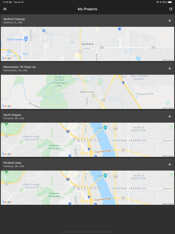
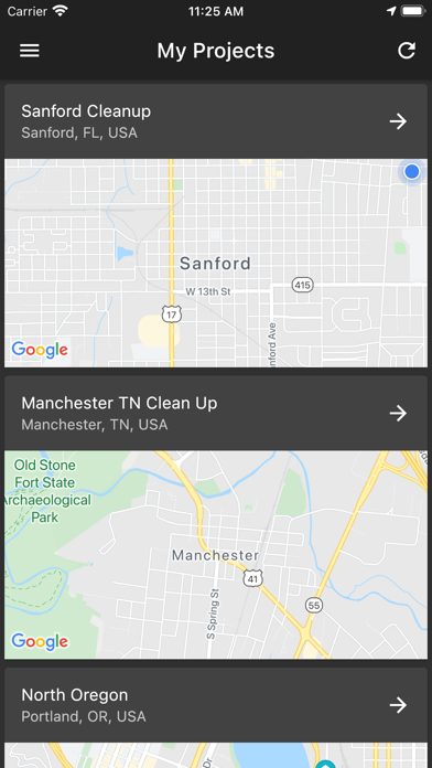
Field Techs and Driver that use the Grid Map It app can navigate to assigned areas to accomplish the goals and workload of the Project Manager. Once a project is created and user is assigned, they can be deployed in the field using this app to navigate and report necessary information about the project and their progress.
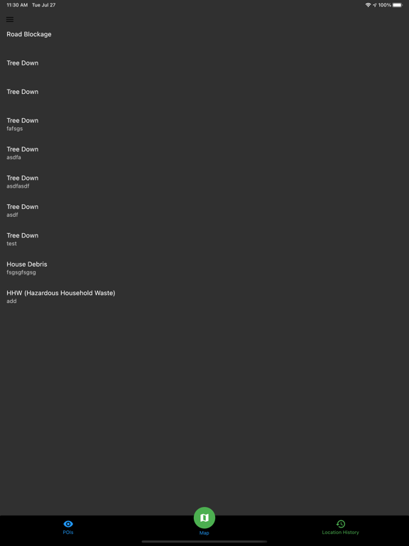
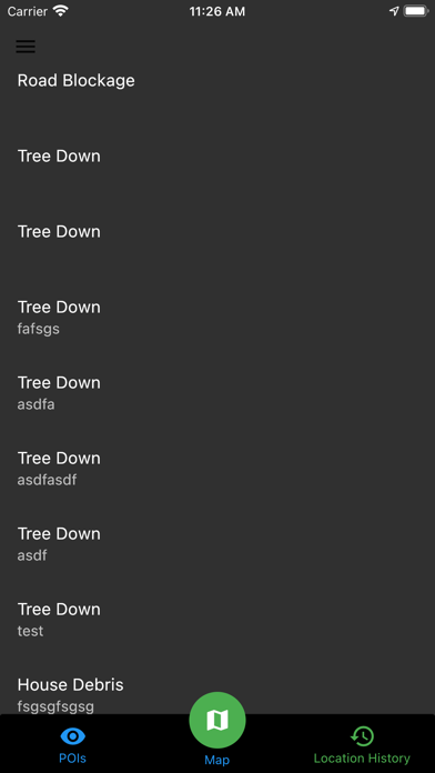
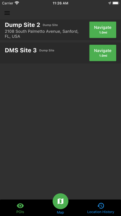
Users can select a POI and navigate to this location. The POIs are added by the project manager in the Web Interface. Once navigation is selected their current location is marked as last known working location for them to return to the exact location they left from.
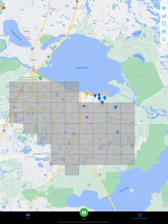
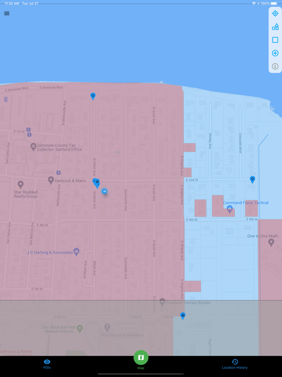
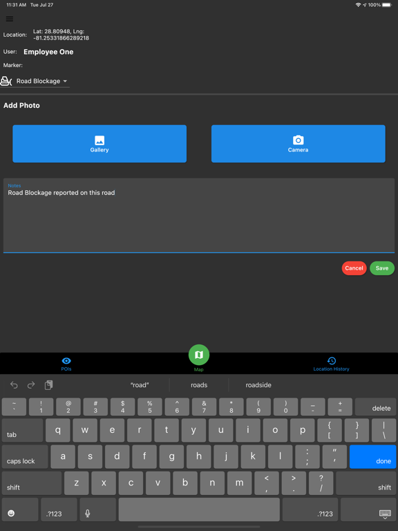
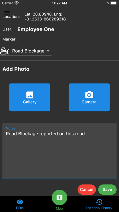
Users will drop pins across the cells they are assigned and add notes and images to the report for the project manager to see them in real time anywhere they are.
These locations have a status specific to their purpose and can report and update on the status along with the PM for their completion.
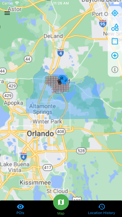
The user's location is tracked in real time to the PM so they can know where resources are in real time as the project progresses.
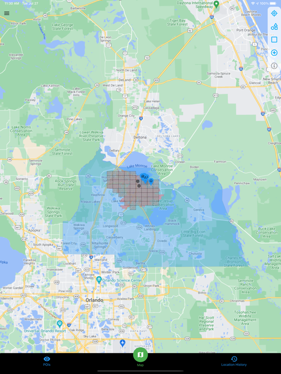
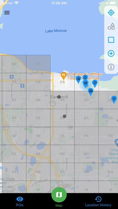
Users can see the cells they are assigned to with boundaries that will indicate the areas they are to work in. This is important as many PM contracts are specific to AOI.
These location pins are stored in the database for reporting as the project progresses. Export this data at any time to show clients progress of the project.
We are constantly improving and upgrading features for operators of different industries. We will continue to improve this service and the data it provides its customers. We are partnering with many other organizations to provide the information you need to accomplish the operations. Less time and overhead while increasing profitability and customer satisfaction.