Ingleborough Dales GeoTrails
Free
1.1.0for iPhone, iPad
Age Rating
Ingleborough Dales GeoTrails Screenshots
About Ingleborough Dales GeoTrails
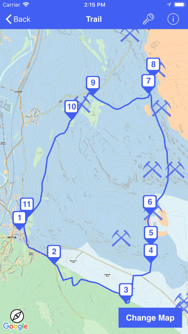
Explore the 500 million year geological story of the Ingleborough area, North Yorkshire, with these six geotrails based on Austwick, Clapham, Helwith Bridge, Horton in Ribblesdale, Settle and Stainforth.
Over the past 500 million years, tectonic plate movements have seen the Ingleborough area pushed northwards, at a leisurely couple of centimetres a year, from near the Antarctic Circle.
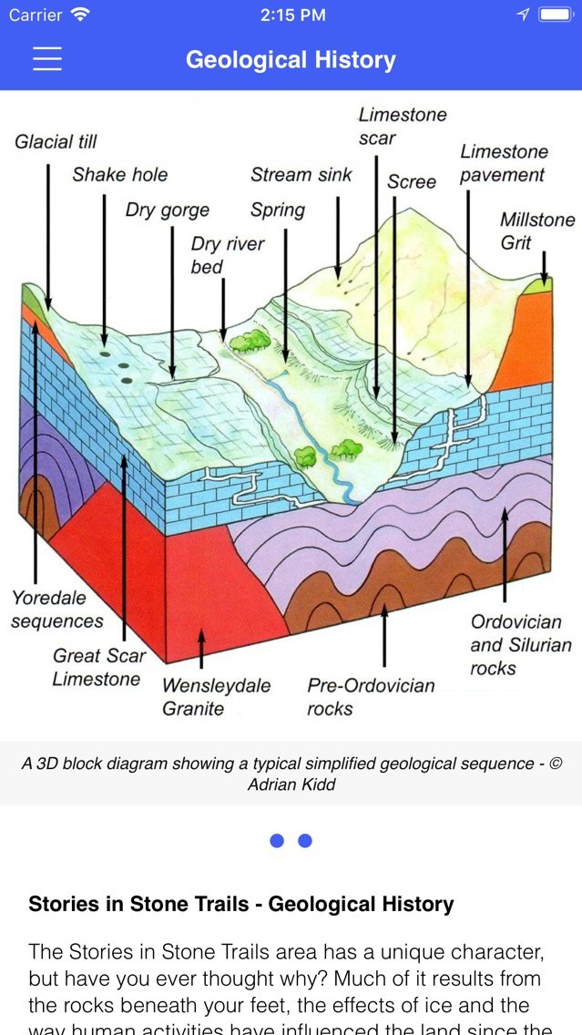
During that time and transition through the tropics, environmental conditions changed enormously, and the rocks and fossils of the area reveal the history of those changes. Folding and faulting reflect the effects of earth movements and mountain building and the most recent times have culminated with the ice-ages and erosion to form the present-day landscape with the caves and limestone pavements so typical of the Yorkshire Dales. The rocks have provided a natural resource, which for centuries has been quarried in the area.
This app makes use of GPS to show you places of interest close to your current location. Continued use of GPS running in the background can dramatically decrease battery life.
Show More
What's New in the Latest Version 1.1.0
Last updated on Oct 27, 2018
Old Versions
Updated offline mapping now covers a wider area
Show More
Version History
1.1.0
Jun 20, 2018
Updated offline mapping now covers a wider area
Ingleborough Dales GeoTrails FAQ
Click here to learn how to download Ingleborough Dales GeoTrails in restricted country or region.
Check the following list to see the minimum requirements of Ingleborough Dales GeoTrails.
iPhone
iPad
Ingleborough Dales GeoTrails supports English


