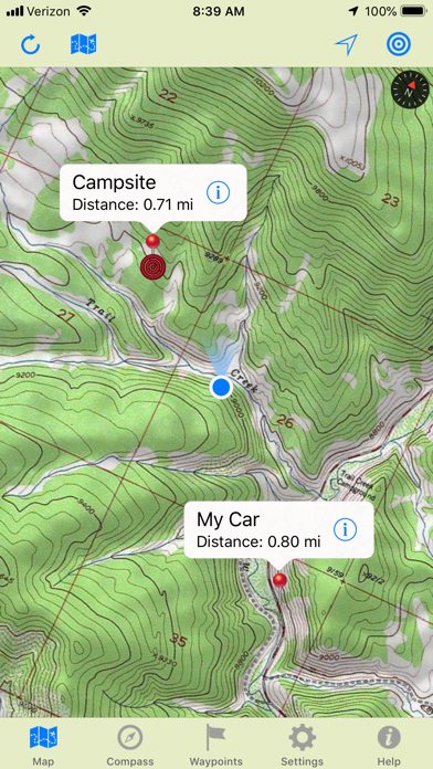
GPS Topo USA turns your iPhone or iPad into a fully functional GPS. It features seamless 1:24,000 scale, USGS topographic maps that store locally for offline use.
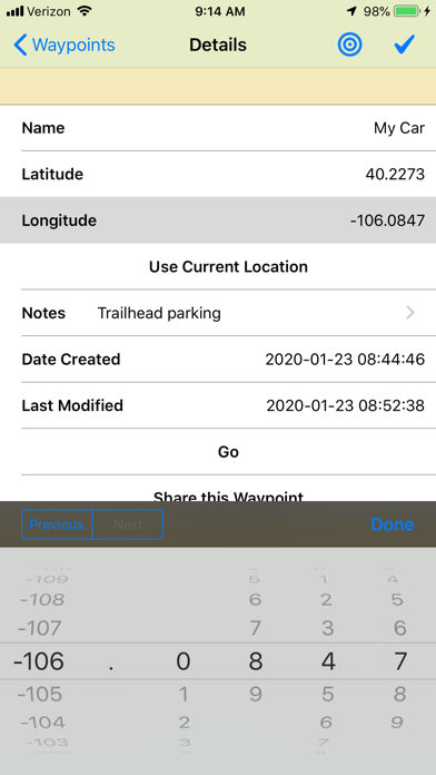
Waypoints allow you to create, store, annotate and display your own custom destinations on the map. Use waypoints to store tree stands, fishing spots, duck blinds, trail heads, or any other point of interest. Get turn-by-turn driving directions or use the app's built in field compass to guide you right to any waypoint. Store your vehicle's location so you can return from the wild's with confidence.
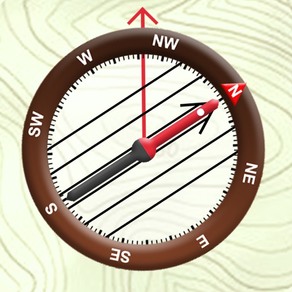
Each waypoint features a "GO" button for turn-by-turn driving directions and a "Target" button for compass navigation. Simply follow the direction of travel arrow on your compass and let you're guided to your targeted destination.
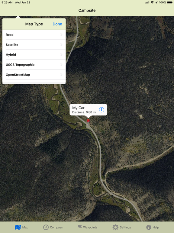
In addition to topographic maps, you can also choose and of Apple's Road Maps, Satellite Images, or Hybrid Maps while online and we've included a road map that stores locally for offline use from the OpenStreetMap project.
For your safety, GPS Topo USA is intended only as a reference and should not be used as your sole means of navigation.
Note: WiFi only iPads may not include a GPS receiver which is required for navigation in the field.