* Unlimited free map downloads based on Ordnance Survey® OpenData, at 1:25,000 and 1:10,000 scales, and now also paid map downloads at 1:50,000, 1:25,000 and 1:10,000 scales, just like the paper maps. * 3D mode ideal for mountains. * Maps downloaded and saved for off-line use. * Mark waypoints, plan routes and record tracks. * Import and export GPX files. * Plot graphs of altitude and speed. * View your photos on the map. * Off-line place, street name and postcode search.
After installing the app, please touch the '?' button to view instructions including how to download detailed maps.
Northern Ireland is not included. The Isle of Man is included only at 1:250,000 (free) and 1:50,000 (paid). The Channel Islands are not included.
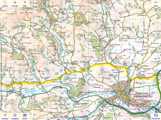
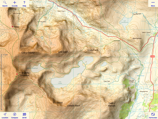
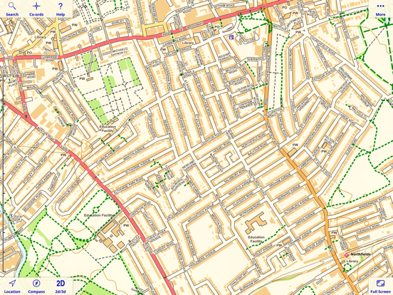
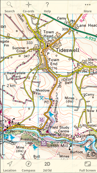
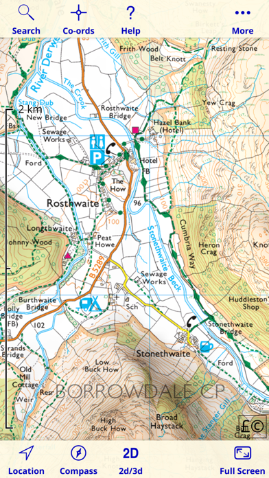
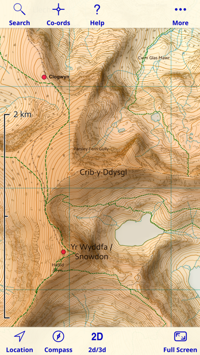
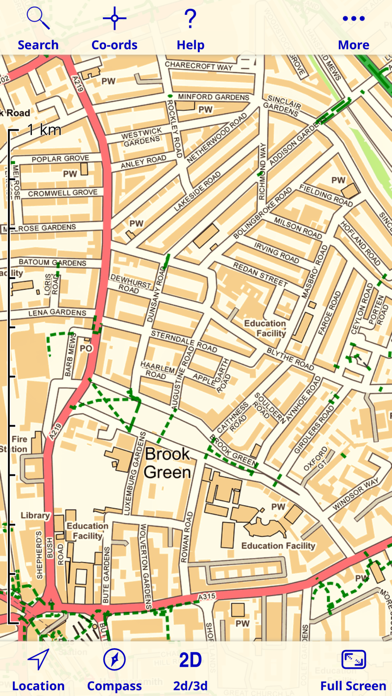
Since 2010, Britain's national mapping agency Ordnance Survey has released a large amount of free map data. UK Map makes much of that data available in a single app. It includes 1:1M MiniScale® and 1:250k road maps, which are built into the app, and 1:25k district maps and 1:10k street maps for the entire country which you can download in 5km by 5km tiles. As the free O.S. data does not include footpaths, this app superimposes footpaths derived from volunteer-collected data from OpenStreetMap.org. These downloads are free of charge.
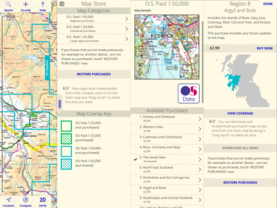
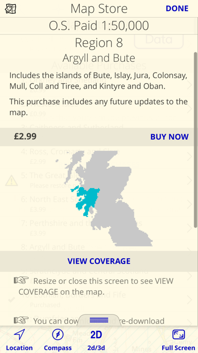
In addition to the free maps, you can also purchase and download 1:50,000 and 1:25,000 maps that are just like the Ordnance Survey paper maps. You can also purchase 1:10,000 maps for selected urban areas which show more detail than the free 1:10,000 maps.
Once you've downloaded the detailed maps that you need, an internet connection is not required.
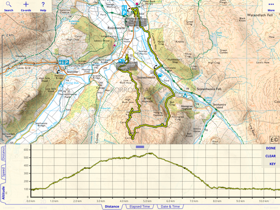
The app can load GPX files (for example, from websites, other apps and from nearby devices via AirDrop) and display waypoints, tracks and routes. You can also mark waypoints, plan routes and record tracks within the app, and export them.
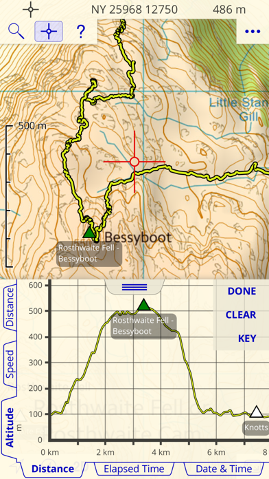
You can view graphs of altitude or speed along recorded tracks and routes.
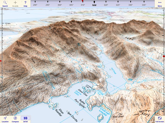
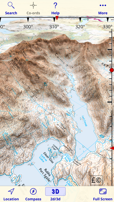
The app has a 3D mode that lets you view the terrain from any viewpoint, useful for visualising hills and mountains.
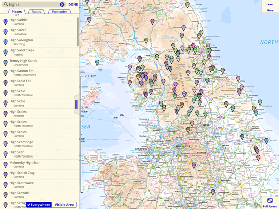
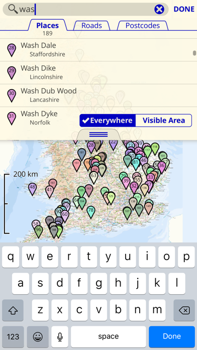
The app also includes a searchable gazetteer containing over 250,000 place names, 850,000 street names and 1.6 million post codes. All of this data is built in to the app, so this search also works when there is no network connection.
The app also supports the compass and GPS - on those devices that have them - to display your position, orientation and altitude.
Paid maps are licensed for personal and non-commercial use only.
Contains Ordnance Survey data © Crown copyright and database rights 2011 - 2024. Please visit the website for more information - https://ukmapapp.com/