US Public Land - Offline Map
$0.99
1.0for iPhone, iPad
Age Rating
US Public Land - Offline Map スクリーンショット
About US Public Land - Offline Map
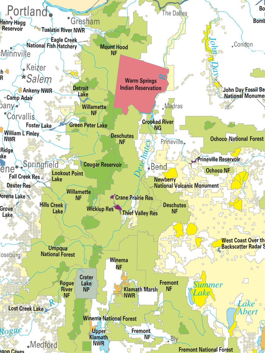
US Public Land is a pocket tool to show you the public lands in the U.S.A.
The majority of public lands in the United States are held in trust for the American people by the federal government and managed by the Bureau of Land Management, the United States National Park Service, Bureau of Reclamation, or the Fish and Wildlife Service under the Department of the Interior, or the United States Forest Service under the Department of Agriculture.
This app includes all states' public land maps:
- Bureau of Land Management;
- Bureau of Reclamation ;
- Department of Defense;
- Forest Service;
- Fish & Wildlife Service;
- National Park Service;
- Tennessee Valley Authority;
Public land map are stored on iPhone/iPad - no internet connection required.
Thank the National Atlas of the U.S.A for providing the public land data.
Show More
最新バージョン 1.0 の更新情報
Last updated on 2017年05月16日
Version History
1.0
2017年05月16日
US Public Land - Offline Map FAQ
ここをクリック!地理的に制限されているアプリのダウンロード方法をご参考ください。
次のリストをチェックして、US Public Land - Offline Mapの最低システム要件をご確認ください。
iPhone
iPad
US Public Land - Offline Mapは次の言語がサポートされています。 English