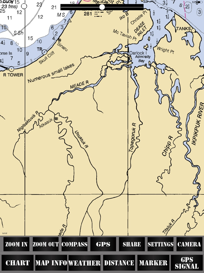
Alaska USA Nautical Charts
$1.99
1.0for iPhone, iPad
Age Rating
Alaska USA Nautical Charts 스크린 샷
About Alaska USA Nautical Charts
Online Raster Charts for Navigation.
Raster Navigational Charts (RNC's) are created by the National Oceanic and Atmospheric Administration (NOAA) of the United States Government.
NOAA, National Ocean Service, Office of Coast Survey, build and maintains Marine Chart of more than 1000 nautical charts.
Raster Charts are used by mariners to navigate the United States and U. S. territory waters safely.
Features in the APP:
Easy to use maps
List of Raster Navigation Charts Covered
Locate position of user through GPS
Overlay Raster Charts on the Map
Adjust transparency for better visibility
Raster charts are Geo-referenced.
Raster charts displays water depths, coastlines, dangers, aids to navigation, landmarks, bottom characteristics and other features.
Zoom IN & Zoom OUT
Know the Distance between two points on map
Get Area of any location on the map
Displays weather information
Add to favorites and access them later
Check direction (compass)
All charts are derived from NOAA's latest edition and are ready to use on the map.
Features:
user-friendly and easy to use.
Built with latest technology
Fully Functional Applications
Apps are specifically designed to deal with the varying screen sizes between the iPhone and the iPad
Updates are free
Ads free app
Disclaimer:
NOT TO BE USED FOR NAVIGATION
Internet connection is required to avail features in the app
App is intended for informational and educational purposes only.
Continued use of GPS can dramatically decrease battery life
Show More
최신 버전 1.0의 새로운 기능
Last updated on Apr 22, 2018
Version History
1.0
Apr 22, 2018
Alaska USA Nautical Charts FAQ
제한된 국가 또는 지역에서 Alaska USA Nautical Charts를 다운로드하는 방법을 알아보려면 여기를 클릭하십시오.
Alaska USA Nautical Charts의 최소 요구 사항을 보려면 다음 목록을 확인하십시오.
iPhone
iPad
Alaska USA Nautical Charts은 다음 언어를 지원합니다. English


