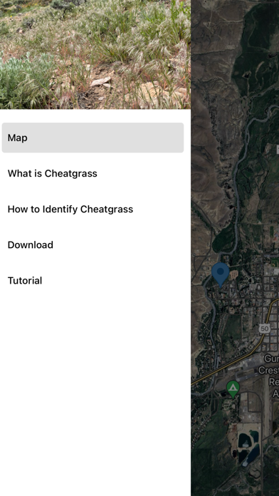
CheatMaps is an app designed to track the spread of cheatgrass within the Gunnison Basin, aiming to address the ecological challenges posed by its proliferation. Version 1.1 was developed as part of the 2024 Western Colorado University & University of Colorado Boulder Partnership Computer Science Capstone project. Update 2.0 is developed by the University of Colorado Computer Science capstone team. Both iterations are in collaboration with the Gunnison Sagebrush Alliance.
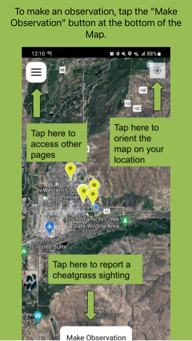
Whether you are hiking, exploring, or spending time in the great outdoors, CheatMaps makes it easy to document cheatgrass sightings in the field. Users can first identify cheatgrass using an on-device state-of-the-art computer vision model, then submit that photo along with a description to create an observation. For more detailed observations, the app also includes AR tools that help users capture richer field data.
Users can explore observations submitted by others on the map and export the dataset to better understand the spread of cheatgrass throughout the Gunnison Basin and beyond.
By connecting everyday outdoor activity with ecological monitoring, CheatMaps is a valuable tool for researchers, land managers, and anyone passionate about preserving the ecological balance of the Gunnison Basin.