Open Map brings over 60 different types of maps on iOS with 29 zoom levels.
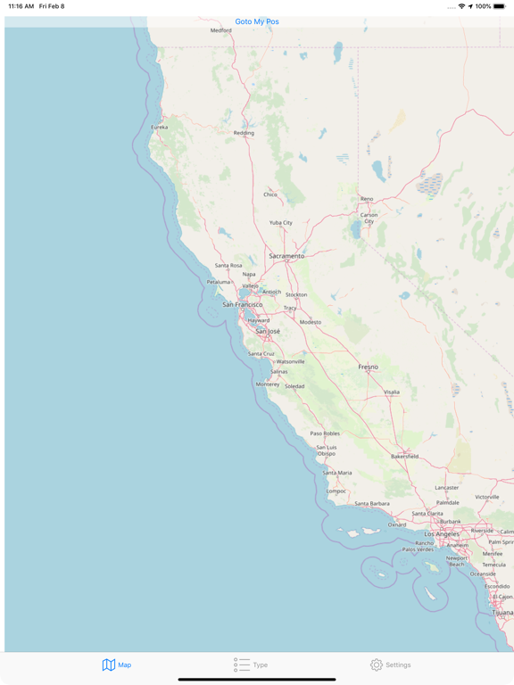
All these maps of the world have different style and data, always up to date and available with 1 touch with a resolution level ranging from 0 to 28.
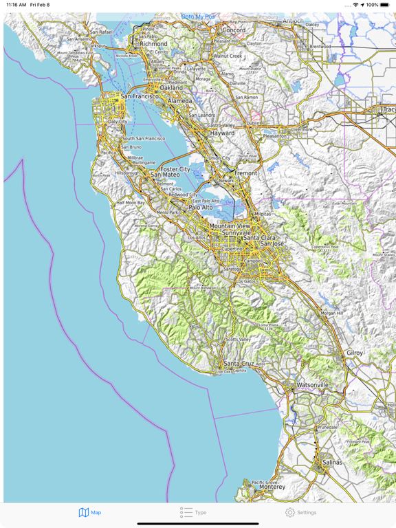
They are completely interactive as the standard one but all different in many aspect.
It is a must have for anyone with an interest in cartography and in world maps in general or just wanting to see maps in with many different representations.
EASY TO USE
• No learning curve, you already know how to use it
• All works as you aspect as in the maps you already use
• Completely interactive
FEATURES
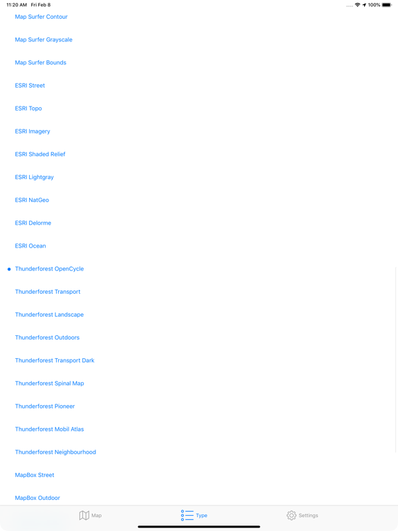
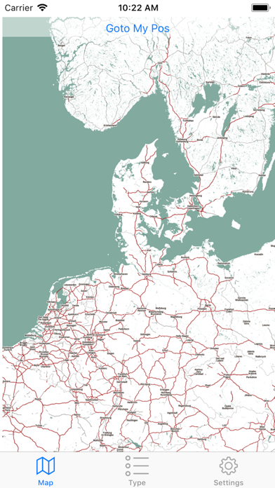
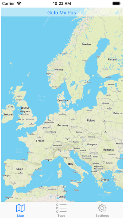
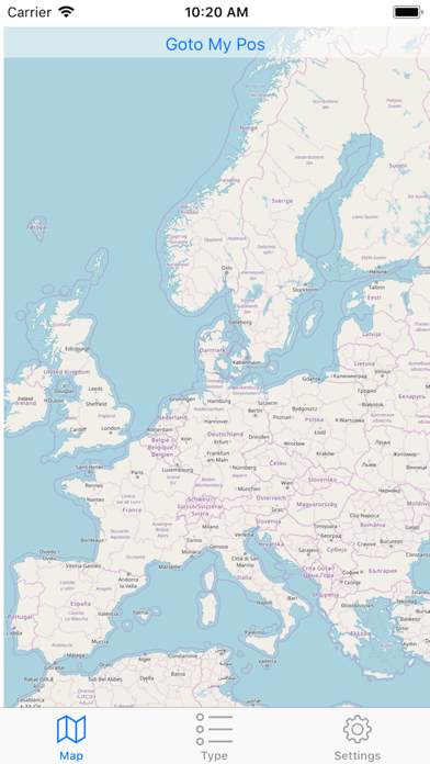
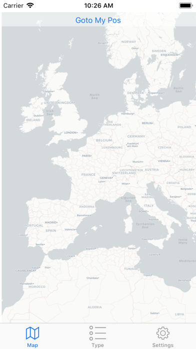
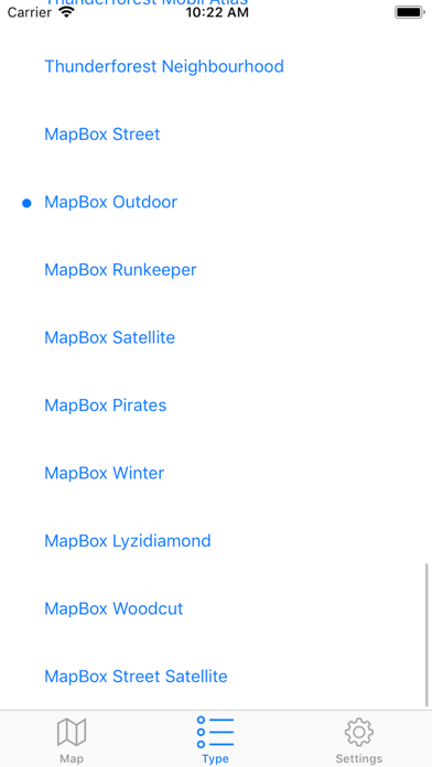
• Over 60 maps all covering the full world
• More data then you may aspect
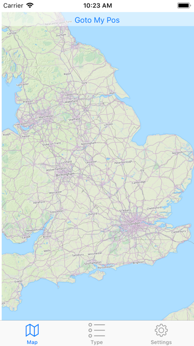
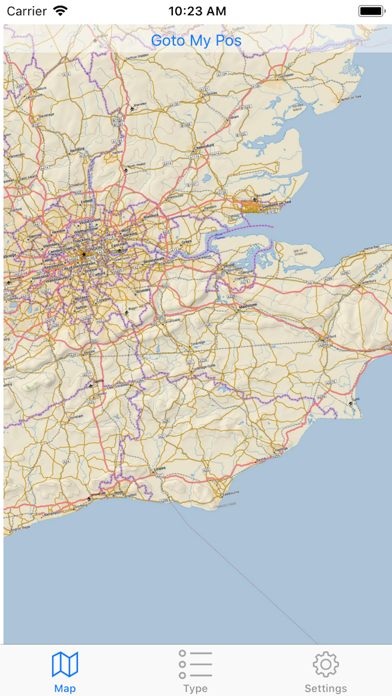
• Move and zoom-in zoom-out with your fingers as in the standard one
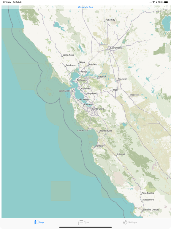
• Change map type in one touch at any time preserving position and zoom level
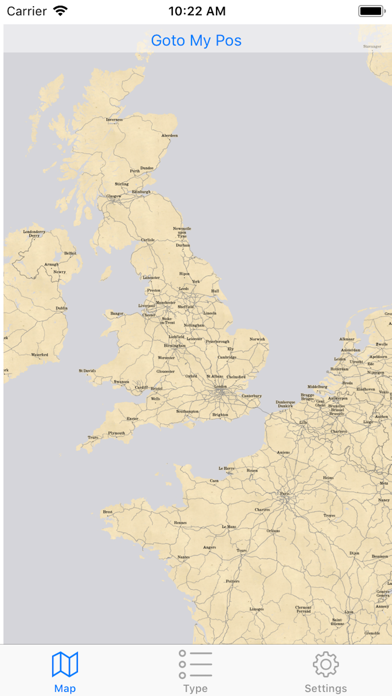
• Can keep your position centered
• Can show your position
• Can show precision circle
• Instant switch between one map to the other keeping position and zoom level
• Instant 'Goto My Pos'
SOME OF THE AVAILABLE MAPS
• Wikimedia
• Humanitarian
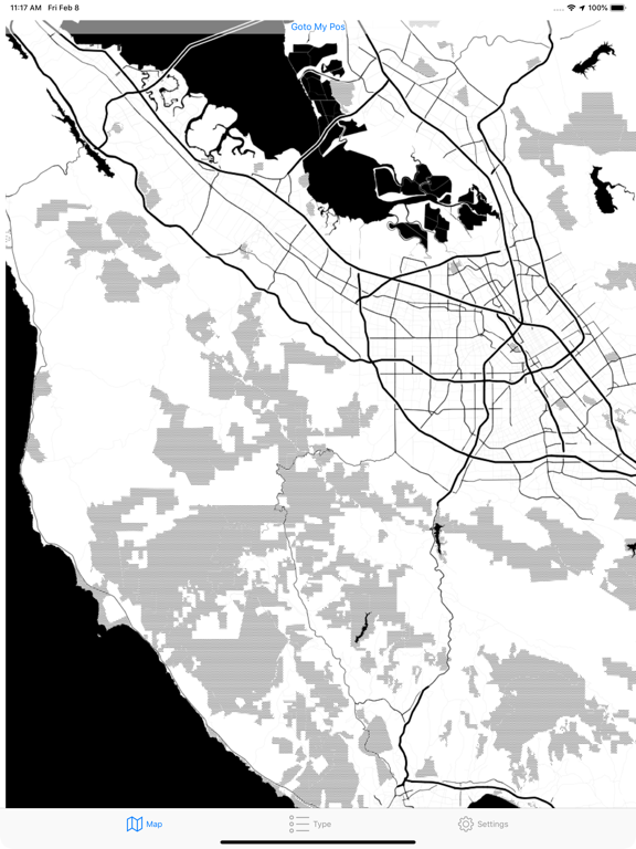
• Black & White
• OpenTopo
• Hike & Bike
• Hydda
• Toner
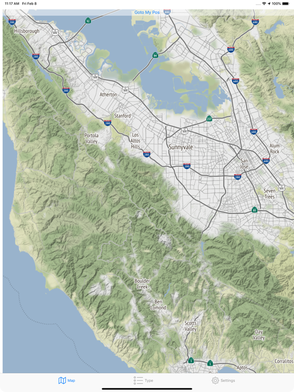
• Terrain
• Watercolour
• Positron
• Dark Matter
• Flat Blue
• Roads
• Hybrid
• Contour
• Grayscale
• Street
• Topo
• Imagery
• Shaded Relief
• LightGray
• NatGeo
• Delorme
• Ocean
• OpenCycle
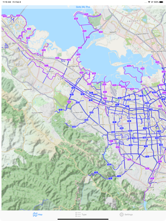
• Transport
• Landscape
• Pioner
• Atlas
• Outdoor
• Satellite
• Lyzidiamond
• Street Satellite
FOR IPHONE AND IPAD
• Open-Map it's a joy to use on iPhone and on iPad
• Works both for iPhone and iPad in landscape and portrait mode
• Optimized for the latest generation iOS devices and the latest iOS release
AVAILABLE ALSO FOR MAC
• All the features available on iOS plus full export capabilities in PDF, PNG,TIFF and JPEG.
• Look in the Mac App Store for 'Open Map'