Real-time mapping application with information, functionality, and features based on user-location derived from your device's location services. Essentially, a mobile app "wrapper" around FlyLogical's Really Simple Moving Map website, providing the convenience of a packaged app compared with just the browser.
An alternative to the mapping / geo-location apps that come bundled with your device but which "never quite seems to do what you want" from a technical / feature point-of-view.
Key features:
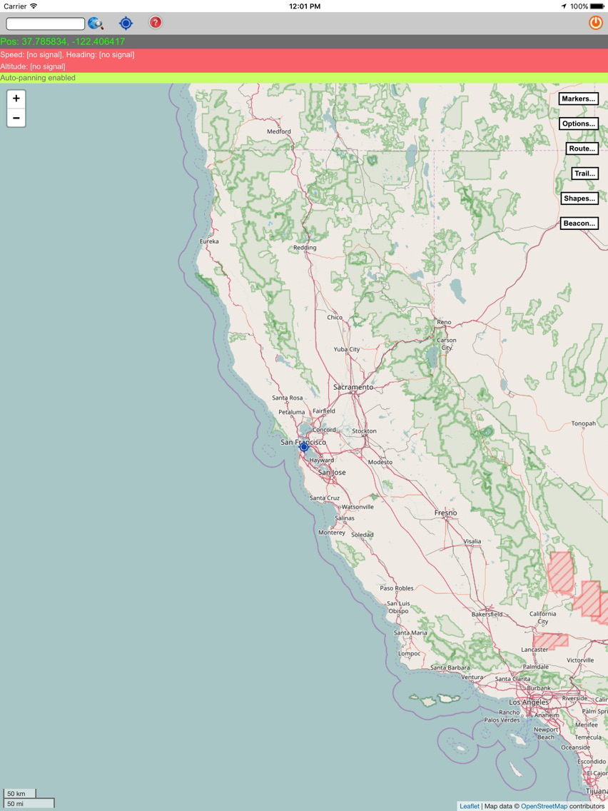
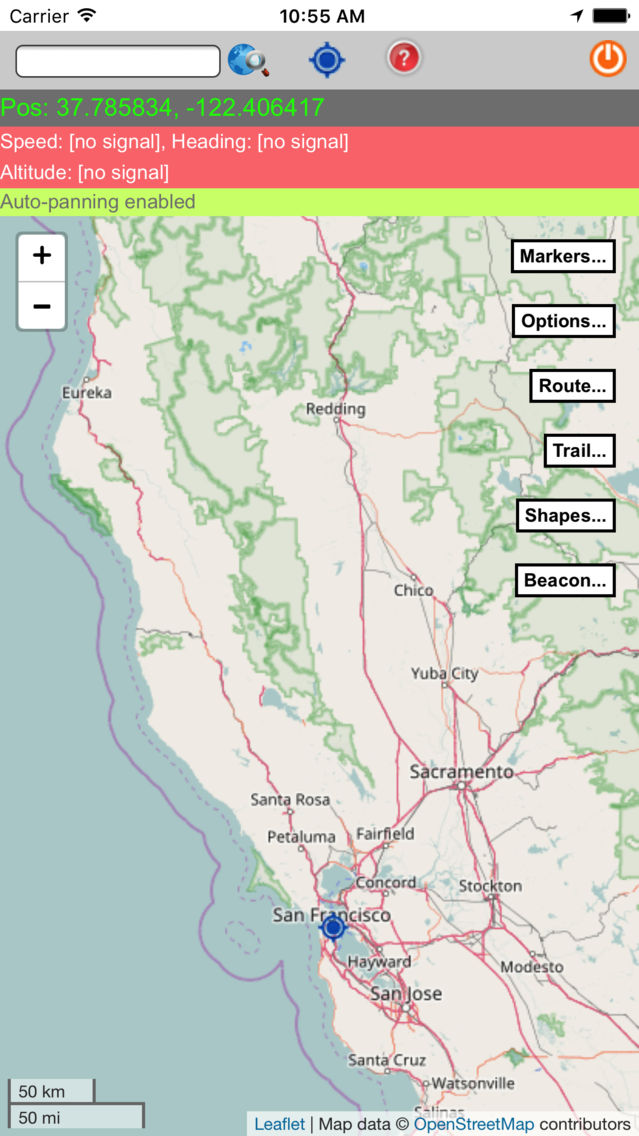
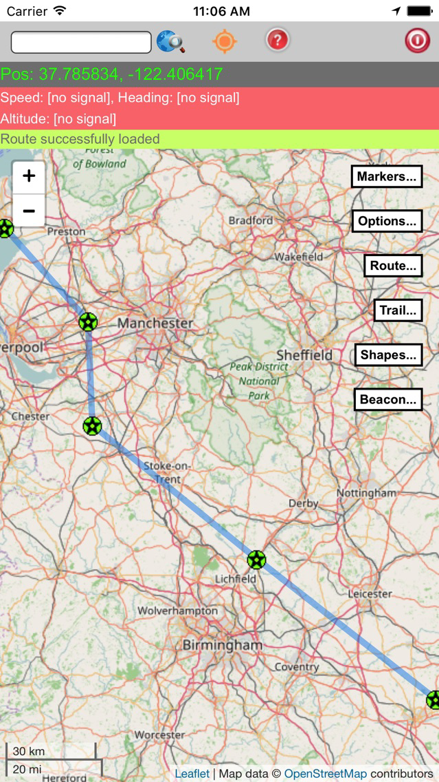
"Moving map" (with base maps provided by OpenStreetMaps) which tracks your (device's) location, direction & speed of movement (based on successive location fixes), and altitude (based on GPS)
Point-ahead "time-line" indicating where you will be if you continued in a straight line (as-the-crow-flies) at your current speed
Search for any location (globally) via Google search (and/or search the FlyLogical Cloud database), and pin a Marker on the map at the location resulting from that search -- and/or click anywhere on the map and pin a Marker there
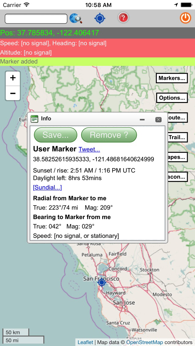
For any Marker you've pinned on the map (either directly or via search result):
View the bearing (to/from) and the distance between the marker position and your current location, plus the time it would take to reach the Marker location from your current location if you now headed directly towards the Marker at your current speed
View the sunrise & sunset times, and the remaining daylight hours (at the current time) for the given Marker location
View the details of the Sun's track across the sky during the whole day
Terminator illustrating global day-time /night-time
"Beacon" function for sharing your location (via Twitter), should you wish to
Receive aviation weather briefings (decoded METARs & TAFs) from reporting stations nearest to the Marker location (determined automatically). Note: these briefings are an excellent source of global, real-time, weather information which are relevant to many activities beyond just aviation
Save the Marker location to the FlyLogical Cloud (database) for convenient re-use later (retrievable via the search functionality described above)
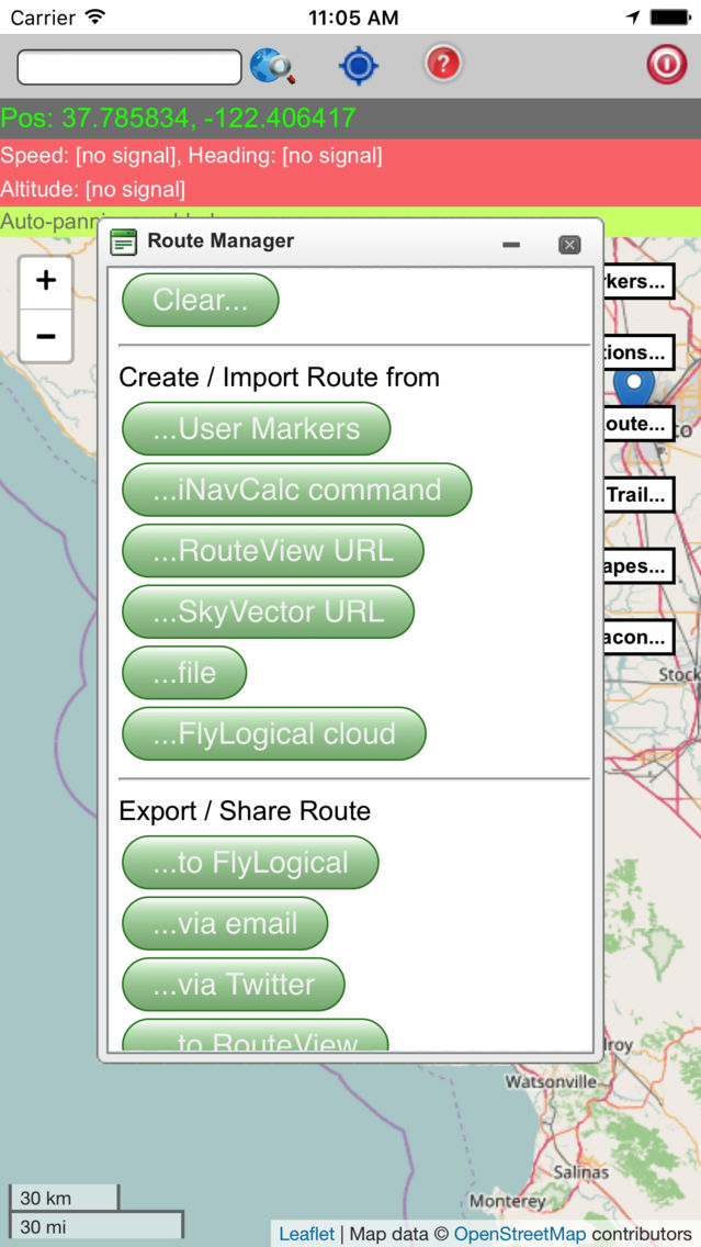
Routes functionality whereby you can display a route (i.e., a series of connected waypoints) on the map, and monitor your current location and progress relative to that route. Aviation-inspired, the routes assume straight-lines (actually great-circles) between the waypoints, rather than, for example, road networks. This is in the interests of simplicity, and means that all navigation is "as-the-crow-flies" ("ATCF"). This approach is effective even for road routes (but you have to define the route segments to follow the road, RSMM does not do this for you). Route-specific portability features enable you to:
Create / import routes from a variety of sources
Export / save / view routes in a variety of ways / formats
A "breadcrumb trail" feature which records and displays your location history (i.e., a trace of where you've been)
Create shapes, display them on the map, and share them. Available shapes include:
-- point
-- line (arbitrary number of vertices)
-- circle and circular arc (portion of circle)
-- square
-- rectangle
-- triangle
-- polygon (arbitrary number of vertices)
- The shapes can be specified as being constructed from either Great-Circle segments (on a reference Ellipsoid), or from Rhumb-line segments (i.e., straight lines on Mercator projections)
- All visual attributes of the shapes can be customised e.g., line color & opacity, line thickness, fill colour & opacity, etc.
- Save the shapes (individually or in groups) to the FlyLogical Cloud (database) for convenient re-use later (and for sharing with the public if desired)
- Export the shapes (individually or in groups) to KML file format (sent by email) for ease-of-use with KML-supporting apps such as GoogleEarth.
Note: this app makes continued use of GPS running in the background, and can dramatically decrease battery life.