Topoguide gives access to all topoguide.gr hiking destinations with even more content than the website!
The free version offer a collection of the Best Hiking Trails of Greece.
The other destinations are sold as in-app products, each with:
• Dozens of hiking and cyclings routes with descriptions and photos
• Offline topographic maps of the area
• Guidebook with an extensive introduction on the geography, the nature and the paths of the area
• Offline search for hundreds of POIs
In the field, the app identifies the nearest route, guides you to it and then along it by displaying messages and warnings on every junction or other important location. On each Point of Interest, photos and texts are displayed on the map. If the hiker gets off-trail, the app indicates the shorter way to get back safely.
Topoguide's team of cartographers has previously published hundreds of detailed hiking maps for Greece. To ensure data accuracy, all routes provided in our app
are walked or driven by our team.
The available destinations are:
• Attica:
∙ Athens birding
∙ Geraneia
∙ Hymettus
∙ Kitheronas
∙ Lycabettus
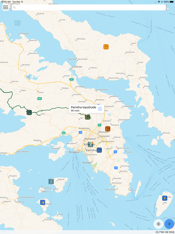
∙ Parnitha
∙ Pendeli
• Central Greece & Evia
∙ Dirfys
∙ Elikonas
∙ Giona
∙ Nafpaktia Uplands
∙ Oeta
∙ Parnassos
∙ Vardousia
• Peloponnese
∙ Chelmos
∙ Elafonisos
∙ Epidavros
∙ Mani: Areopoli, Avia, Kardamili, Tenaro
∙ Menalon Trail
∙ Methana
∙ Parnonas
∙ Taygetos
∙ Ziria
• Thessaly:
∙ Pelion: Central, Eastern, Southern Pelion & Western Pelion
• Macedonia:
∙ Valia Calda
• Epirus:
∙ Ursa Trail
∙ Zagori
• Crete:
∙ Chania
∙ Elafonisi
∙ Gramvousa
∙ Lefka Ori - Samaria
• Cyclades islands:
∙ Amorgos
∙ Kea
∙ Kythnos
∙ Naxos
∙ Santorini
∙ Serifos
∙ Sifnos
∙ Tinos
• Ionian islands:
∙ Corfu Trail
∙ Kefalonia
∙ Zakynthos
• Saronic islands:
∙ Aegina
∙ Hydra
• Sporades islands:
∙ Skyros
• Dodecanese islands:
∙ Kalymnos