奈良市避難所マップ
Free
2.0for iPhone
Age Rating
奈良市避難所マップ 螢幕截圖
About 奈良市避難所マップ
**** このアプリケーションについて ****
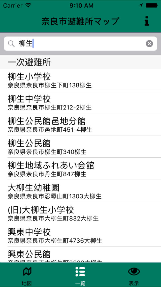
このアプリケーションは、奈良市の避難所オープンデータを用いてその場所をマッピングしたものです。また、国土地理院の都市圏活断層マップ、明治期の低湿地マップ等も背景に表示しております。許諾などが取れれば、奈良市など作成のハザードマップなども主題図として一緒に閲覧できるアプリにしたいと考えております。
また、同じプログラムを利用した他地域他テーマでのアプリ作成等も可能です。Code for NARAまでお問い合わせください。ソースコードは以下のgithubリポジトリでMITライセンスで公開されております。
https://github.com/code4nara/Code4XMap
**** Code for NARAについて ****
「奈良を知り、奈良を育む」という理念に基づき、ITを活用して慣らしをより良くしていくための団体です。 奈良市の特徴を活かし、地域活性化にも貢献すべく活動中です。
https://www.facebook.com/Code4Nara
https://twitter.com/Code4Nara
**** ライセンス ****
このアプリケーションは以下の著作物を改変して利用しています。
== 避難所データ、奈良市 ==
奈良市オープンデータカタログ (http://www.city.nara.lg.jp/www/contents/1400827150843/)
[クリエイティブ・コモンズ・ライセンス 表示 2.1 http://creativecommons.org/licenses/by/2.1/jp/]
==背景主題図、国土地理院==
地理院地図技術情報 (http://maps.gsi.go.jp/help/#tech)
[国土地理院コンテンツ利用規約 http://www.gsi.go.jp/kikakuchousei/kikakuchousei40182.html]
Show More
最新版本2.0更新日誌
Last updated on 2016年09月20日
歷史版本
* 国土地理院の背景主題図を追加しました。
Show More
Version History
2.0
2016年09月21日
* 国土地理院の背景主題図を追加しました。
1.0
2015年01月08日
奈良市避難所マップ FAQ
點擊此處瞭解如何在受限國家或地區下載奈良市避難所マップ。
以下為奈良市避難所マップ的最低配置要求。
iPhone
奈良市避難所マップ支持English


