Abberley
Free
2.0for iPhone
Age Rating
Abberley 螢幕截圖
About Abberley
The app guides your walk along the Abberley to Martley section of the Abberley and Malvern Hills Geopark Way – a 109 mile walk running between Bridgnorth in Shropshire England to Gloucester Cathedral. The trail is divided into 17 sections, with an app for each section.
This app gives geological and other information; connecting the ground you are walking over with its deep time past. From the highly folded and overthrust Silurian marine rocks of the ridge of Walsgrove, Rodge and Pudford Hills, to the desert rocks of Martley and Woodbury Hill.
The app has all required data loaded and does not require cellular or WiFi connectivity in the field – just a charged battery.
The app has 5 core views, the default is the Map of the trail overlain on a geology map, which, if the device has GPS, displays your location and provides a feed of information about the rocks and ancient places you are walking over (without GPS, or other location service) you can manually supply your position by touching the map.
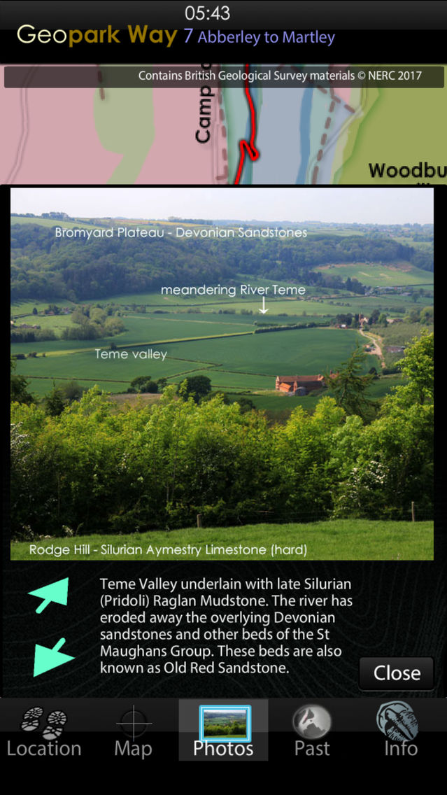
The Photos view provides around 200 pictures to guide your walk and provide information. When walking the trail the app delivers you the photo taken nearest to where you are (there is set of pictures for walking from Abberley toward Martley and another set for a walk from Martley towards Abberley). Some photos provide a link to a landscape cut-way showing a simplified view of what is going on underground. A camera icon appears on the map to show the location and angle the picture was taken. The photos can also be used to give a virtual walk of the trail, or to judge in advance the challenge the terrain may present, or to find parts that are suited to disabled access. The map provides facilities locations along the trail.
The Past view places the rocks under you, into their global tectonic setting, of plate positions along with data for past CO2, oxygen, temperature, sea level and species extinction rate. Recreations of possible ancient landscapes of the GeoPark are provided, together with maps of past landmasses and oceans such as the Iapetus, Rheic and Tethys.
The Location view provides position and optionally will record your walk and provide an updated estimate of how long to it will take you to complete. Here you can select which set of photos to display along with whether to have the map centre on your location - similar to the way in which a satnav homes the view and information to your current position.
The Information view provides links to the organisations, whose largely volunteer workers, have created and maintain the Geopark and its trail.
Show More
最新版本2.0更新日誌
Last updated on 2017年12月04日
歷史版本
Updated map
Updated images
Show More
Version History
2.0
2013年09月12日
Updated map
Updated images
Abberley FAQ
點擊此處瞭解如何在受限國家或地區下載Abberley。
以下為Abberley的最低配置要求。
iPhone
Abberley支持English


