From the developers of Spin-a-Wind, tens of thousands of world airports contained within 1 app! Search by airport name, city name, ICAO or IATA codes.
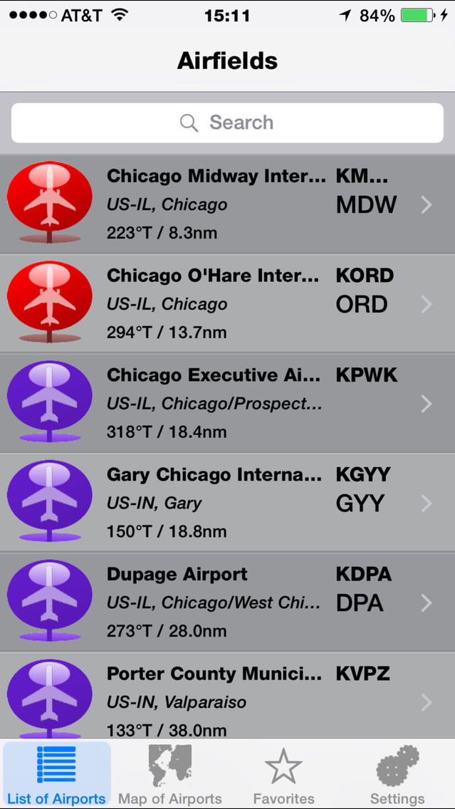
If you were searching for the Lambert St Louis airport, you could search for "Lambert" under name, "St Louis" under city, "KSTL" under ICAO, or "STL" under IATA. The list automatically filters as each letter is typed, so if you don't know an exact spelling, just give the app what you do know, and it will give back a list, ordered by distance from you, closest first!
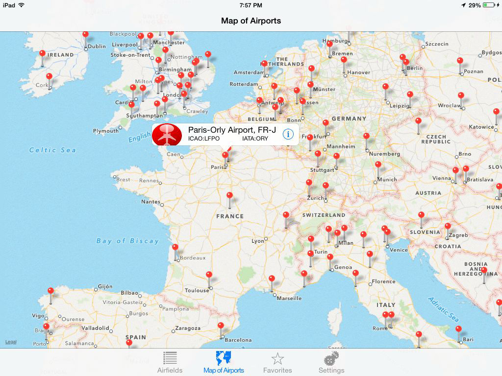
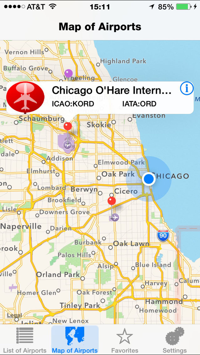
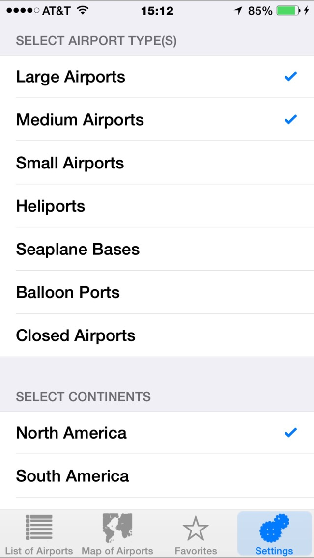
Find airports around you with the map function.
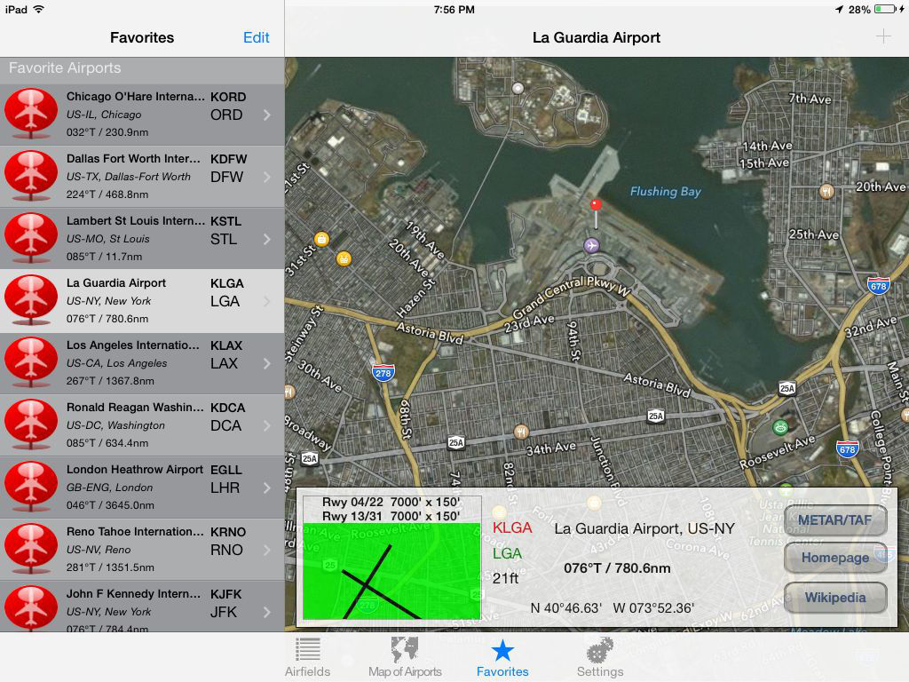
If the airport one of your favorites, click the plus '+' button on the top bar. The plus key will then go dim, and the airport will be available on the favorites tab.
Under the favorites tab, there is an edit function which allows you to reorder the list, and selectively delete airports on the list.
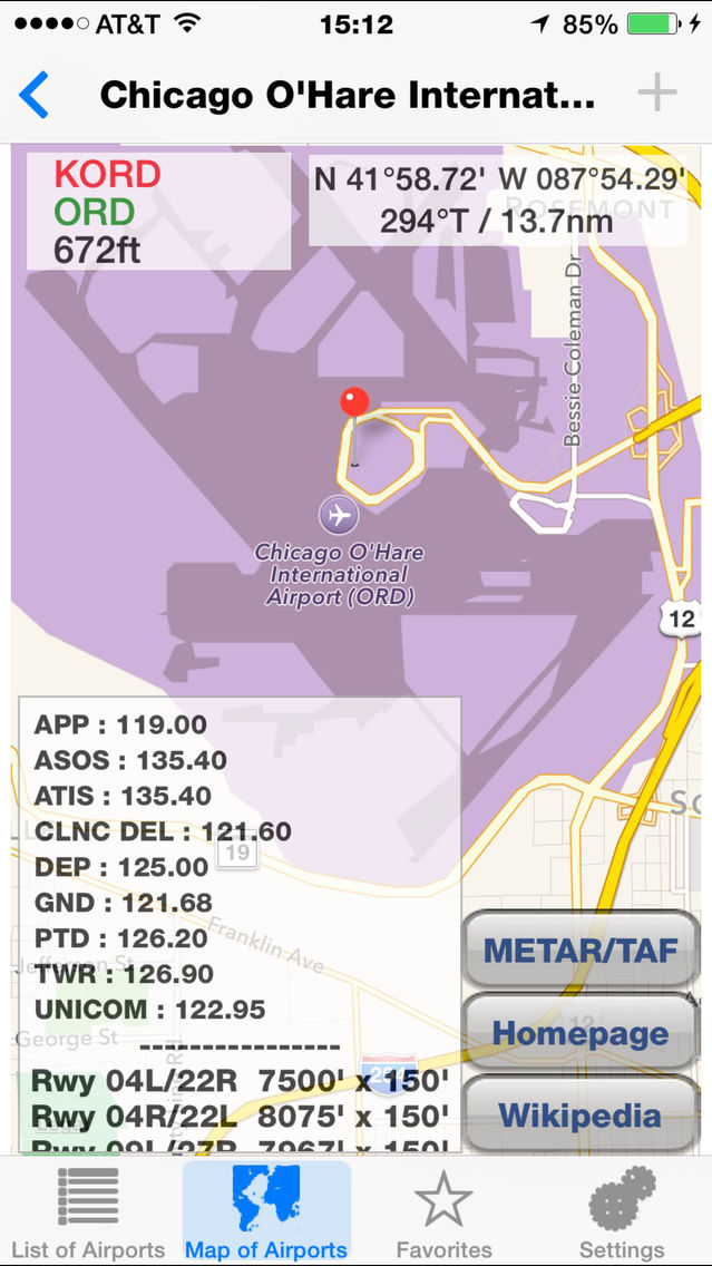
Airfields displays airport coordinates, bearing and distance from you, elevation, radio frequencies, runway information, and links for the airport website, wikipedia entry, and TAF, METAR weather information.
Red pins mark major airports, green for heliports, and purple for the rest.
Try panning in the map tab. As the screen moves, pins marking the airfields fall into place!.
Easy to use universal app for iPad, iPhone, and iPod Touch. Internet connection required for maps and weather. Location function needed for distances and bearings to the airports from your current location.