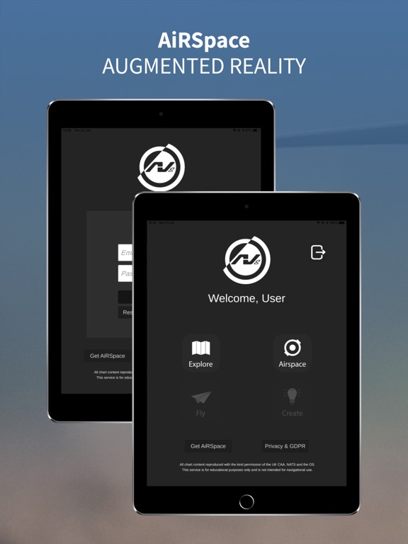
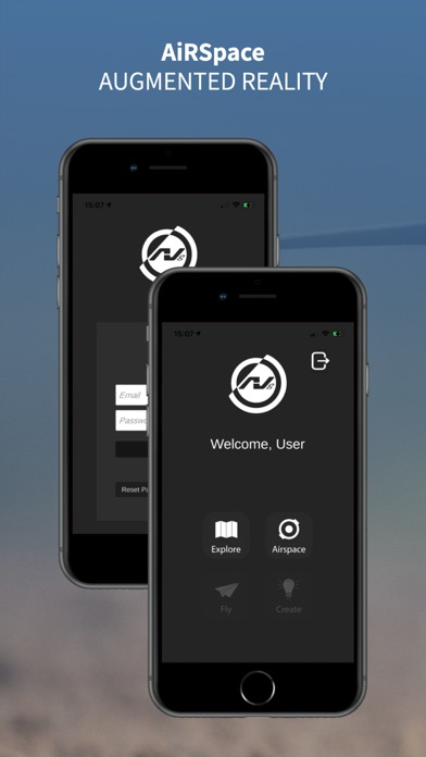
AV8's AiRSpace mobile app is the first of its kind to use augmented reality to visualise complex aeronautical concepts in interactive 3D space, in your real-world environment.
Please note: enrolment in a certified AV8 drone training course is required to access this service.
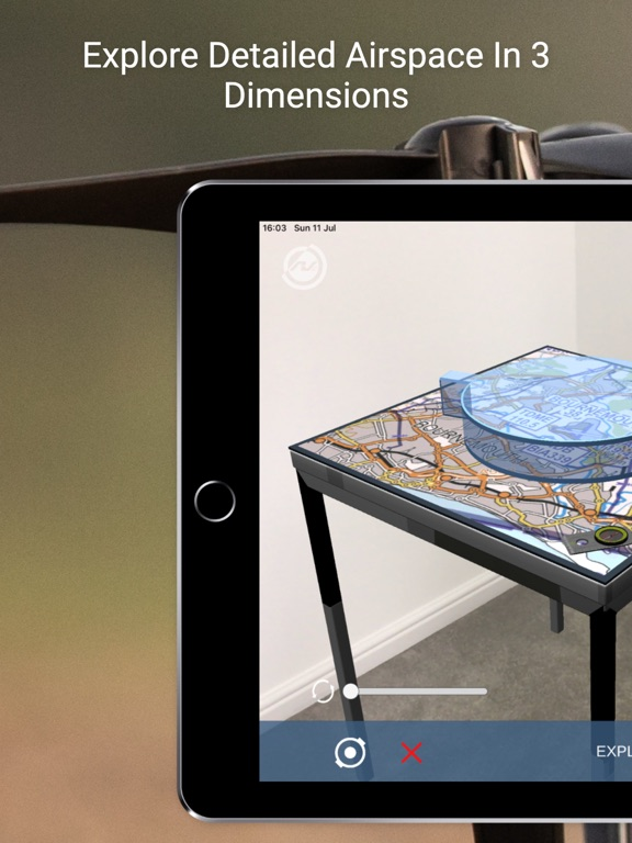
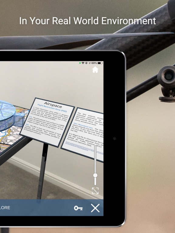
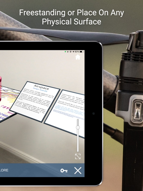
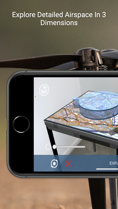
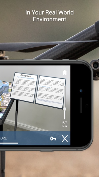
EXPLORE MODE:
+ Airspace models
+ Aerodrome Traffic Zones (ATZ)
+ Military Aerodrome Traffic Zones (MATZ)
+ Flight Restriction Zones (FRZ)
+ Danger Areas (D)
+ High Intensity Radio Transmission Areas (HIRTA)
+ Control Areas (CTA) & Control Zones (CTR)
+ London Restricted Areas (R)
+ People occlusion (with compatible Apple devices)
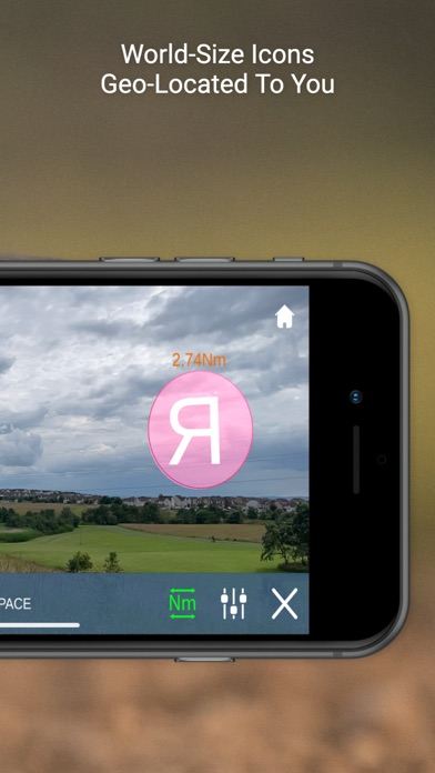
AIRSPACE MODE:
+ View real-world airspace hazards in your immediate area
+ Airspace hazards geo-positioned to their real-world location
+ Overlay the distance from you to each airspace hazard
+ Define the maximum distance of hazards displayed (1 nautical mile to 15 nautical miles)
+ Declutter the screen to show areas relating to airports, hazardous areas or both
+ Includes:
+ Flight Restriction Zones
+ Danger Areas
+ Restricted Areas
+ Prohibited Areas