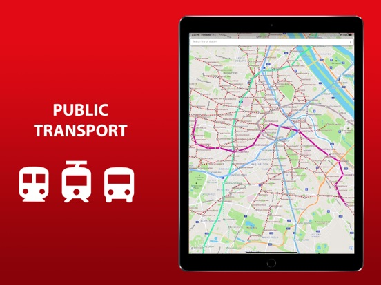
The entire Paris's transport infrastructure of in one app. Metro lines, trams and buses routes, transfer stations - all of those you will find inside.
Search by station name or route number, saving chosen routes and geo-positioning are available in the basic version.
Why do this app is should be tried?
1) On the screen of your device you will see the whole Paris's public transport scheme, and the more scale is choosen the more details are given.
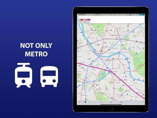
2) The map of Paris shows not only metro lines, but tram and bus routes as well. Stations of possible metro-tram-bus transfers are grouped.
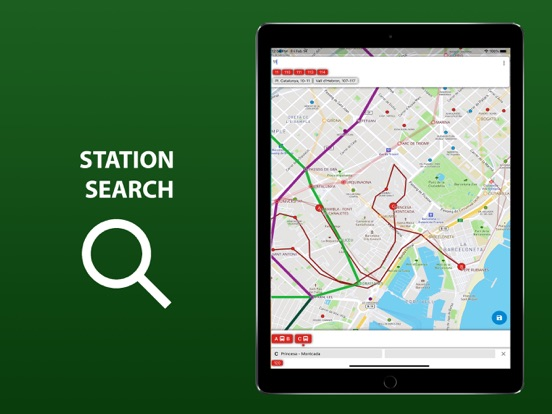
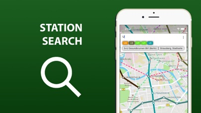
3) The search by station name will help you to find it on the map and select the proper transport. Search by route number allows you to quickly determine whether it suitable or not.
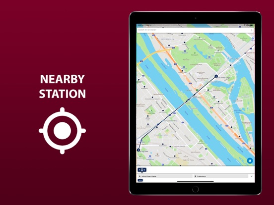
4) By allowing the application to access the location and mark it on the map, you will see stations nearby. So you won't ever get lost and without any help you will be able to get anywhere in the city.
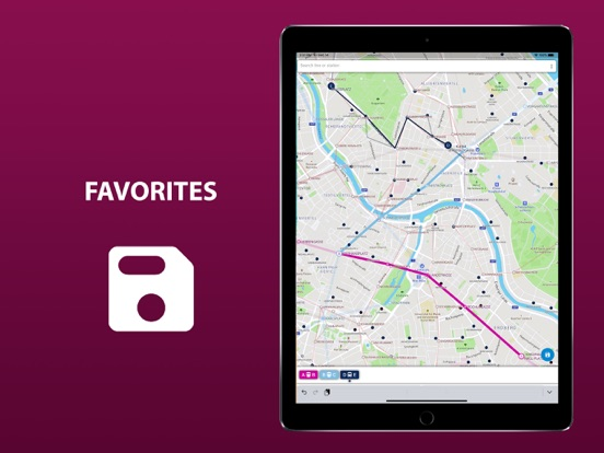
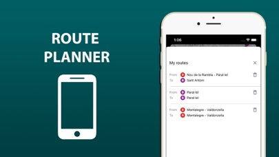
5) The routes you planned in advance, can be saved in the list and you may use them again at any time.
In an extended version, the app allow you:
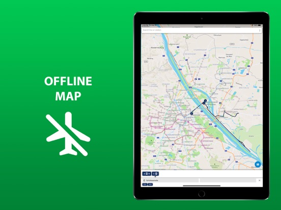
6) To use all of the above in offline mode without wasting time searching for the wifi reception.
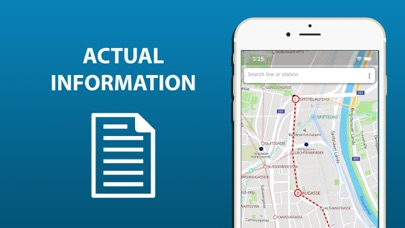
7) To check a short schedule of public transport routes if it is needed.
8) To know not just where the station is, but where the stops of all routes passing through are located as well.
Confident use of all types of public transport is the key to the most comfortable visiting Paris.