EDDMapS Alberta

EDDMapS Alberta


Free

1.1.2for iPhone, iPad
Age Rating
4+
Apps in this category do not contain restricted content.
9+
Apps in this category may contain mild or occasional cartoon, fantasy or real-life violence, as well as occasional or mild adult, sexually suggestive or horrifying content and may not be suitable for children under 9 years of age.
12+
Apps in this category may contain occasional mild indecent language, frequent or intense cartoon or real-life violence, minor or occasional adult or sexually suggestive material, and simulated gambling, and may be for children under 12 years of age.
17+
You must be at least 17 years old to access this App.
Apps in this category may contain frequent and intense offensive language; Frequent and intense cartoon, fantasy or realistic violence: frequent and intense adult, scary and sexually suggestive subjects: as well as sexual content, nudity, tobacco, alcohol and drugs, may not be suitable for children under 17 years of age.
EDDMapS Alberta 螢幕截圖
EDDMapS Alberta 海報EDDMapS Alberta 海報EDDMapS Alberta 海報EDDMapS Alberta 海報EDDMapS Alberta 海報

About EDDMapS Alberta

EDDMapS Alberta brings the power of EDDMapS to your iOS device. Now you can submit invasive species observations directly with your iOS device from the field. These reports are uploaded to EDDMapS and e-mailed directly to local and state verifiers for review. EDDMapS Alberta was developed by the University of Georgia Center for Invasive Species and Ecosystem Health.

App developed by Jordan Daniel and Chuck Bargeron, University of Georgia – Center for Invasive Species and Ecosystem Health.
http://apps.bugwood.org/

Features:

Easy species reporting that captures your current location and allows you to submit an image of your sightings. EDDMapS Alberta allows for both online and offline reporting with reports saved on your phone for uploading when you have network connectivity.

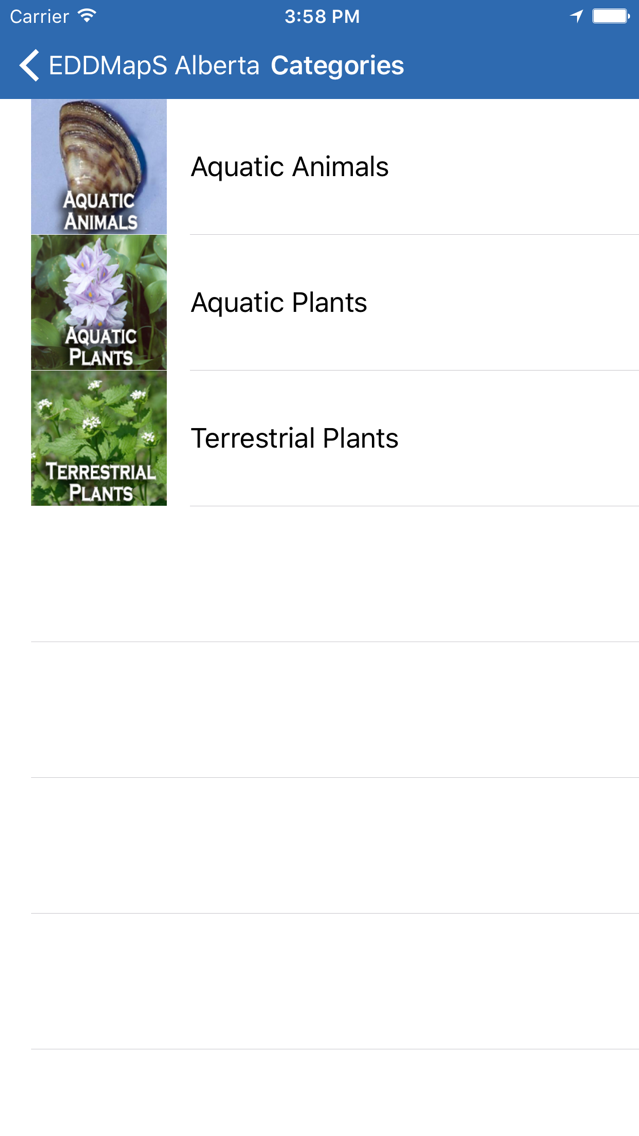
Images and information on Alberta\'s worst non-native invasive animals and plants.

Real-time point distribution maps centered on your current location.

Powered by EDDMapS - The University of Georgia Center for Invasive Species and Ecosystem Health\'s Early Detection and Distribution Mapping System. EDDMapS allows for real time tracking of invasive species occurrences using local and national distribution maps and electronic early detection reporting tools.
For more information about EDDMapS,
visit http://www.eddmaps.org/
Show More

最新版本1.1.2更新日誌

Last updated on 2019年10月25日
歷史版本
Added citations for images in the key and information used to create it.
Show More
Version History
1.1.2
2019年10月25日
Added citations for images in the key and information used to create it.
1.1.1
2019年09月26日
Corrections made to the Feedback form.
1.1.0
2019年05月15日
New Feature: Prohibited Noxious and Noxious Weed Key
1.0.5
2018年08月22日
-New Species list
-Minor bug fixes and improvements

EDDMapS Alberta FAQ

點擊此處瞭解如何在受限國家或地區下載EDDMapS Alberta。
以下為EDDMapS Alberta的最低配置要求。
iPhone
iPad
EDDMapS Alberta支持English

EDDMapS Alberta相關應用

你可能還喜歡

Charles T. Bargeron 開發者的更多應用