Use your iPhone / iPad's GPS to map, measure or simply record places important to you. Your device will be a GPS receiver and will collect geographic coordinates wherever you are. GPS needs satellite’s visibility. Thus, the more open your space, the better the accuracy of measurements.
* Geographic coordinates collection formats:
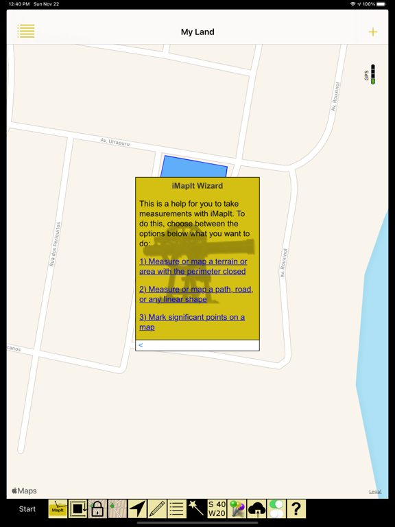
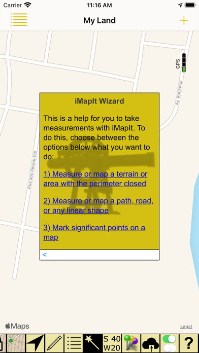
. Points - Mark specific places with a point, such as the place you most like to go to, or the starting point of a race, or even the point where you saw a rare bird;
. Lines or paths - A sequence of points forming a line to mark a trail where you have walked, or the path you have taken on a run, or the path to your new house, either the location of a new fence you want to build. All mapped lines are measured for you in metric and imperial units;
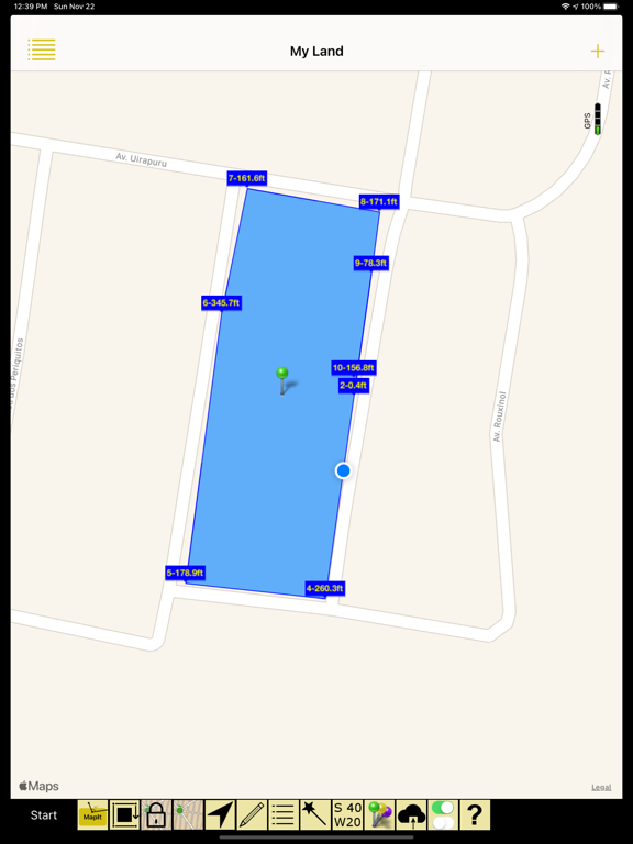
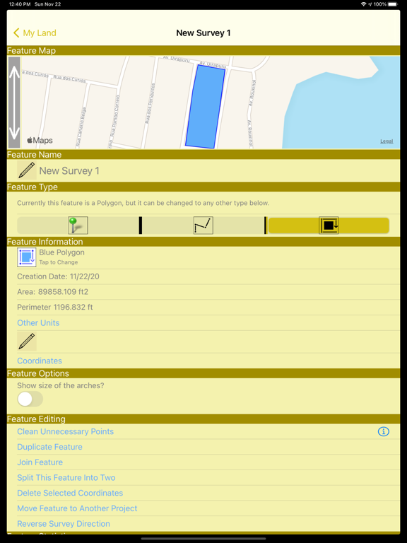
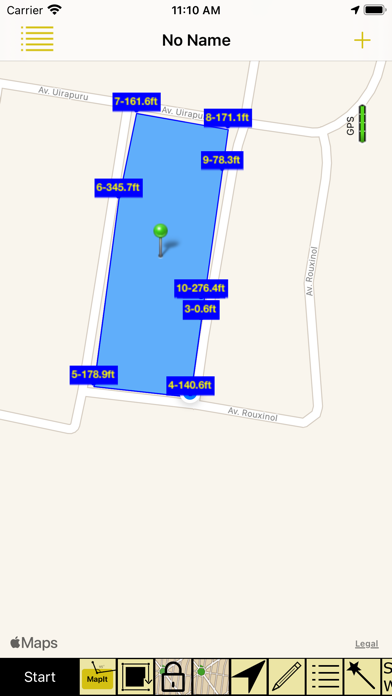
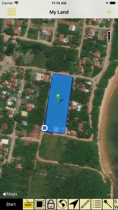
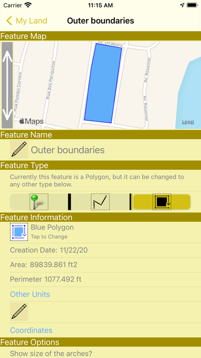
. Areas or polygons - A sequence of points, forming a closed region, to mark land that you are interested in buying, or show the map of your land, or measure the outline of your new house, or delimit the region where you want to build a pool. All mapped areas are calculated for you in metric, imperial and Thai units;
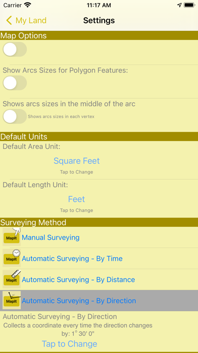
* How to collect coordinates:
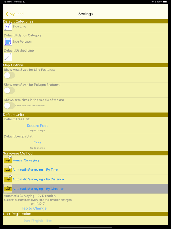
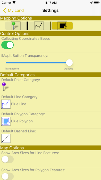
. Manually: You position yourself and tap the MapIt button to collect a coordinate;
. Automatically by Time: A coordinate is collected at each defined time interval;
. Automatically by Distance: A coordinate is collected at each interval of a pre-defined distance;
. Automatically by Direction: A coordinate is collected each time you change the direction of your displacement at an angle greater than a defined limit;
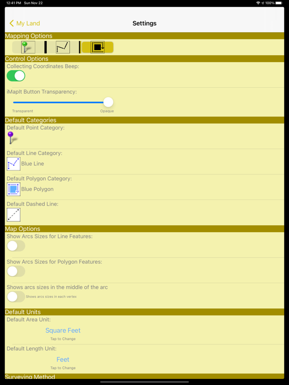
* Presentation within iMapIt:
Points, lines and polygons can be represented by different types of pins, colors, strokes and fills.
* Export your surveys:
. In these formats: DXF, KML, GPX or CSV;
. Using these projections: UTM or Gauss Krüger, or directly the collected geographical coordinates;
. Sending via: eMail, or directly from your device via iTunes (cable), or even more professionally, transferring to a Web server previously prepared to receive them;
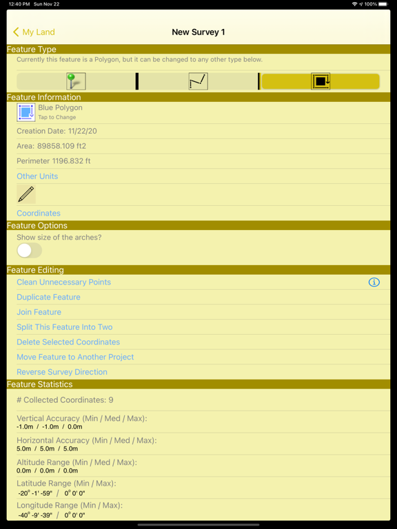
* Editing functions of surveys performed:
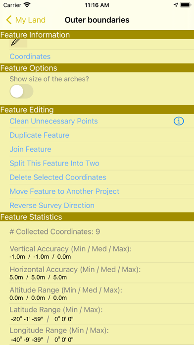
. Feature duplication;
. Union of existing features;
. Division of a feature in two;
. Deletion of unwanted coordinates;
. Automatic cleaning of unnecessary points;
. Move a feature to a new project;
Disclaimer on the accuracy of the surveys:
All points, paths or areas are surveyed using the GPS accuracy of your device. This is not a professional precision GPS equipment. So your surveys may vary when compared to the actual dimensions.