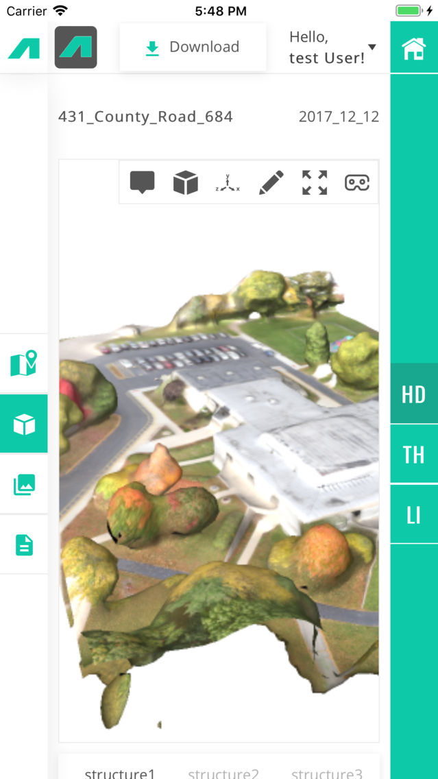
The InfraVIEU app is the mobile version of InfraLytiks proprietary data analytics and visualization platform that allows customers and clients of InfraLytiks to view & work with processed data of their drone scanned locations. Users will have access to similar tools available on the web version in addition to VR features for 3D models. In the InfraVIEU data portal, users will have access to different data types including:
- 3D Models – HD, Thermal & LiDAR
- Orthomosaic Map View – HD, Thermal & Digital Elevation Models
- HD Image Viewer & Comparison
- Proprietary Thermal Image & Data Viewer
- Structural Analysis Reports in PDF Format