KickTheMap

KickTheMap


3D Scanner


免費

2.3.5for iPhone, iPad and more
8.5
4 Ratings
KickTheMap Sarl
Developer
11.4 MB
Size
2024年04月14日
Update Date
Utilities
Category
4+
Age Rating
Age Rating
4+
Apps in this category do not contain restricted content.
9+
Apps in this category may contain mild or occasional cartoon, fantasy or real-life violence, as well as occasional or mild adult, sexually suggestive or horrifying content and may not be suitable for children under 9 years of age.
12+
Apps in this category may contain occasional mild indecent language, frequent or intense cartoon or real-life violence, minor or occasional adult or sexually suggestive material, and simulated gambling, and may be for children under 12 years of age.
17+
You must be at least 17 years old to access this App.
Apps in this category may contain frequent and intense offensive language; Frequent and intense cartoon, fantasy or realistic violence: frequent and intense adult, scary and sexually suggestive subjects: as well as sexual content, nudity, tobacco, alcohol and drugs, may not be suitable for children under 17 years of age.
KickTheMap 螢幕截圖
KickTheMap 海報KickTheMap 海報KickTheMap 海報KickTheMap 海報
KickTheMap 海報KickTheMap 海報KickTheMap 海報KickTheMap 海報KickTheMap 海報KickTheMap 海報

About KickTheMap

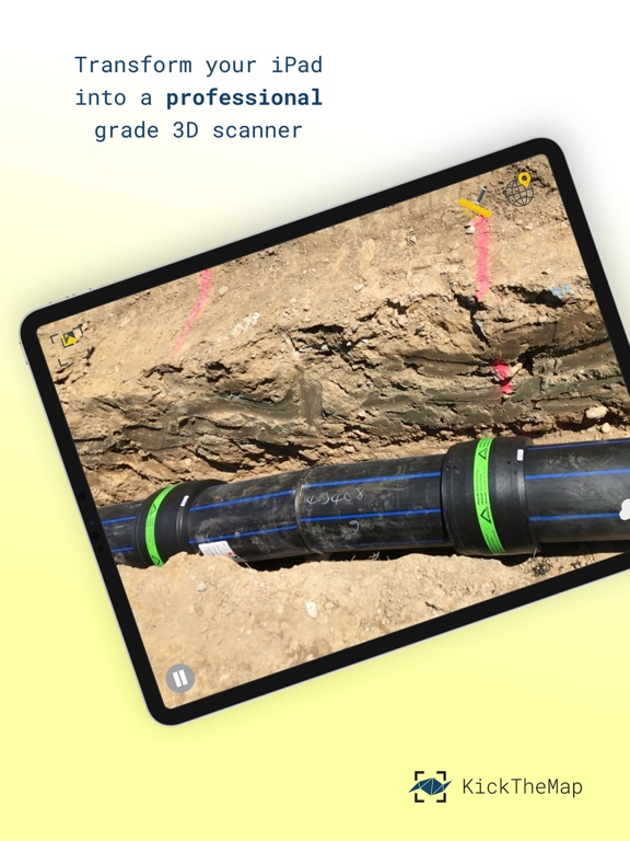
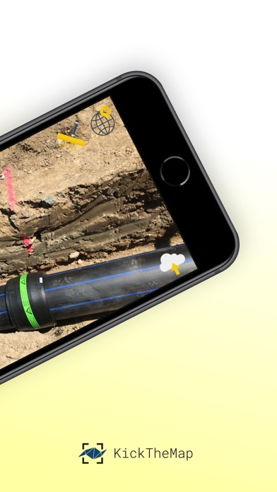
This is the perfect tool for utility mapping, volumes calculation, road mapping and infrastructure modelling (bridges, tunnels, retaining walls..).

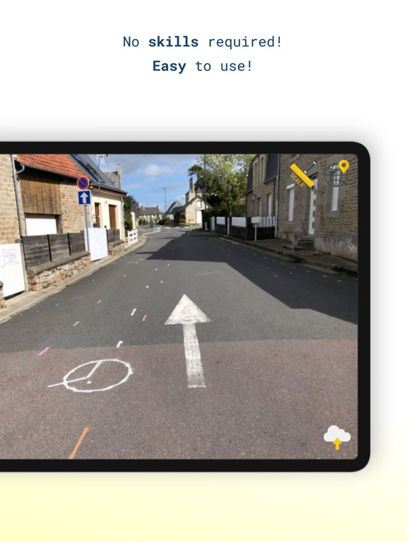
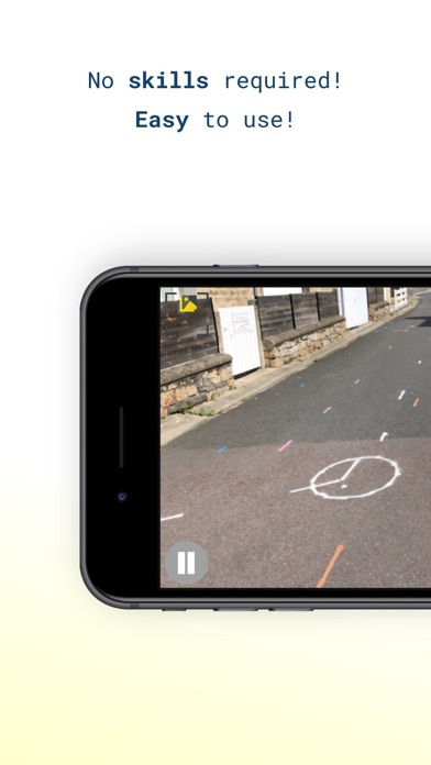
No prior knowledge required! Just walk around your site and the app works by itself, taking pictures all along the way thanks to an advanced Augmented Reality engine.

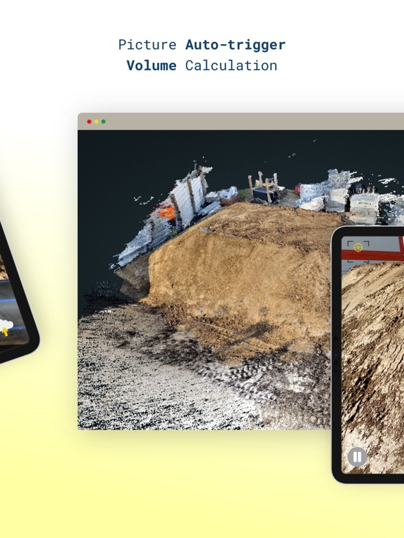
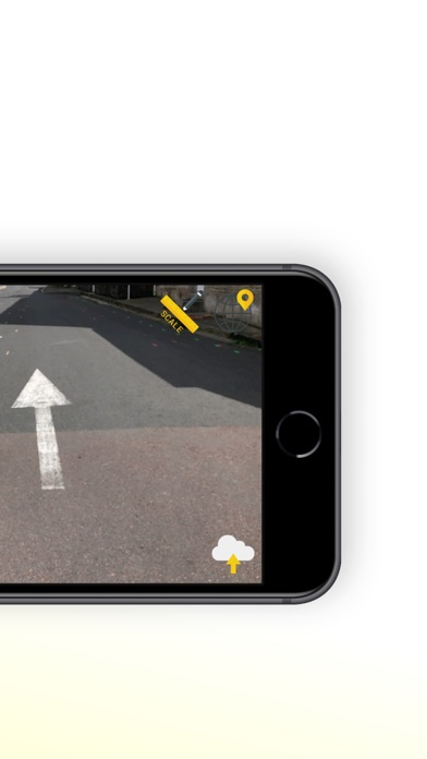
3D models are delivered within 24 hours on your personal desktop platform, allowing you to visualise, measure, digitise and export your data. Possibility to scale or georeference your model within the app with simple and intuitive features.

App Features:
- Picture auto-trigger based on user's motion
- 3D model delivered within 24h
- Up to 2000 pictures/job
- Lightweight pictures for fast upload
- Scale your model with a known distance
- Georeference your model with on known points
- Accuracy of 3 cm (1.2 in) in XYZ
- In-app warnings
- Unlimited number of jobs
- Output quality checks
- Offline mode in case of no internet coverage
- Pictures counter

Platform features:
- High-quality visualisation
- Fast rendering of millions of points
- Distance, height, area
- Easy digitisation with points and polylines
- Objects attributes to export
- Multiple point clouds display
- Export objects in DXF, CSV or JSON
- Export point clouds in LAS

Trial version is limited to 5 projects of 150 pictures max.
Show More

最新版本2.3.5更新日誌

Last updated on 2024年04月14日
歷史版本
- Improvement of the translation system
Show More
Version History
2.3.5
2024年04月14日
- Improvement of the translation system
2.3.4
2024年04月09日
- disable compass feature for some devices
- fix gcps name
2.3.3
2024年04月02日
- bug fixes
2.3.2
2024年04月01日
- Improved list input
- Added customizable forms
- Added limitations
- Bug fixes
2.3.1
2024年03月04日
- Autofocus mode
- Bug fixes
2.3.0
2024年01月22日
- Bug fixes
2.2.9
2024年01月09日
- Improvement of the NTRIP server connection
- Improvement of the mounting point management
- Bug fixes
2.2.8
2023年11月01日
- Added brand new BLE communication for the HaX RTK
- Added new Configuration page design
- Added in-app NTRIP network management
- Improved timings on pictures's geotags
- Added disconnection feature for the HaX RTK
- Fixed few bugs
2.2.7
2023年07月31日
- Improvement of token management
- Additional security through UUID
2.2.6
2023年04月05日
- Bug fixes
2.2.5
2023年03月21日
- Bug fixes
2.2.4
2023年03月14日
- Added new version message
- Added automatic login after signing up
- Added automatic upgrade of business plan without logging out
- Bug fixes
2.2.2
2023年02月16日
- Added fix/float sound for RTK mode
- Bug fixes
2.2.1
2023年02月14日
- Bug fixes
2.2.0
2023年02月08日
- Adding codification system (editable from my.kickthemap)
2.1.3
2022年12月20日
- Added Netherlands coordinate system
2.1.2
2022年11月23日
- Added Japonese coordinate system
2.1.1
2022年11月08日
Bug fixes
2.1.0
2022年11月03日
Capture high resolution images
Bug fixes
2.0.0
2022年10月12日
Added automatic recognition of HaX IP adress
LiDAR capability (beta)
Deletion of account
Bug fixing
1.8.8
2022年05月18日
- Added some statistics for RTK jobs
- Improved RTK workflow upon connection
- Added support for spanish coordinate systems
1.8.6
2022年02月07日
Modified output coordinate system UI
Added Danish coordinate system
1.8.5
2022年01月07日
Bug fixes
1.8.4
2021年11月05日
Bug fixes
1.8.3
2021年06月26日
Bug fixes

KickTheMap FAQ

點擊此處瞭解如何在受限國家或地區下載KickTheMap。
以下為KickTheMap的最低配置要求。
iPhone
須使用 iOS 14.0 或以上版本。
iPad
須使用 iPadOS 14.0 或以上版本。
iPod touch
須使用 iOS 14.0 或以上版本。
KickTheMap支持法文, 英文

KickTheMap相關應用

你可能還喜歡