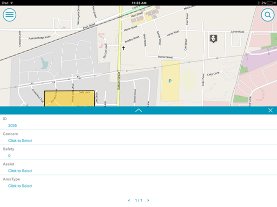
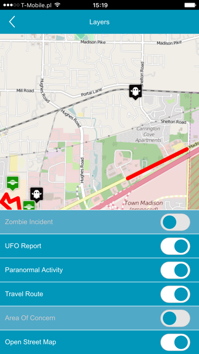
Mobile MapWorks Essentials enables you to use your mobile device to view only your GIS from the field.
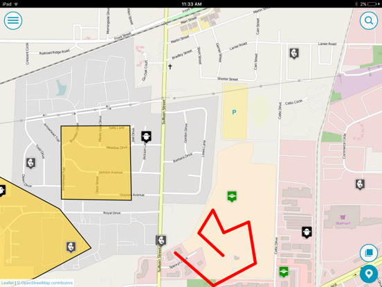
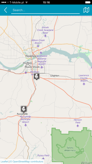
It provides quick navigation and map display with precise indication of GPS position.
Mobile MapWorks Essentials uses WMS and WFS OGC services to access GIS data for view in the field.
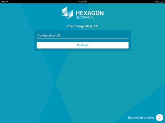
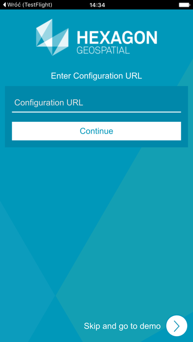
All data access and functionality is controlled through configurations provided to the client.
You can navigate your data using standard tablet gestures for zoom and panning.
Most importantly, Mobile MapWorks Essentials works on the same devices that people use in their personal lives and contains all functionality which is in existing MMW, but in read-only mode.