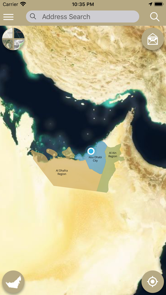
Smart Makani is a geospatial platform and application where the spatial data from various GIS platforms of the three municipalities (Abu Dhabi, Al Ain and Al Dhafra) are unified and consolidated to a single seamless geospatial database at DMT. The unified geospatial data is also shared with AD-SDI stakeholder community through ADDDA. The smart makani application is built using the latest OGC compliant open-source technologies and has live integrations with other governmental business systems like ELMS, MePS, TAWTEEQ, BDMS, DED Licenses, CRM, MePS, etc., using ArcGIS and secured web services. The application also visualizes data in 3D and has many advanced spatial tools for the users to run their analysis.