Age Rating
4+
Apps in this category do not contain restricted content.
9+
Apps in this category may contain mild or occasional cartoon, fantasy or real-life violence, as well as occasional or mild adult, sexually suggestive or horrifying content and may not be suitable for children under 9 years of age.
12+
Apps in this category may contain occasional mild indecent language, frequent or intense cartoon or real-life violence, minor or occasional adult or sexually suggestive material, and simulated gambling, and may be for children under 12 years of age.
17+
You must be at least 17 years old to access this App.
Apps in this category may contain frequent and intense offensive language; Frequent and intense cartoon, fantasy or realistic violence: frequent and intense adult, scary and sexually suggestive subjects: as well as sexual content, nudity, tobacco, alcohol and drugs, may not be suitable for children under 17 years of age.
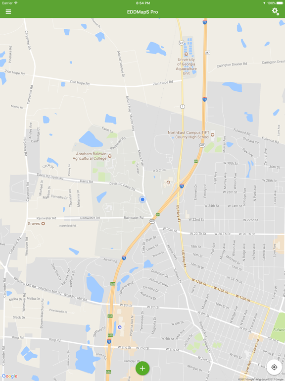
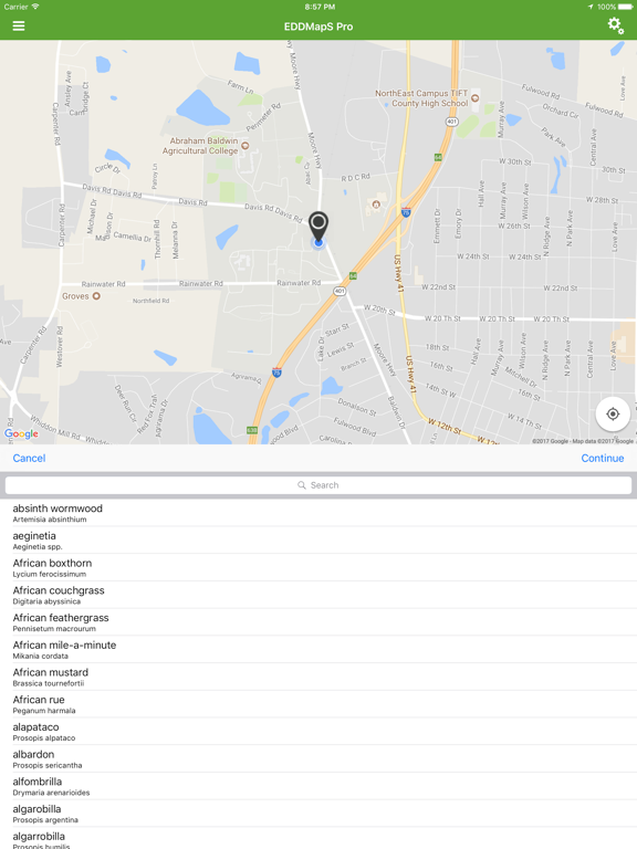
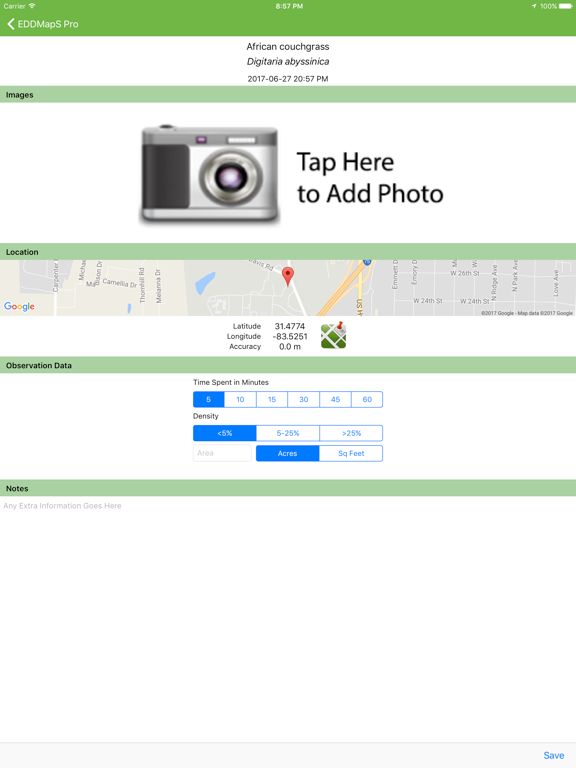
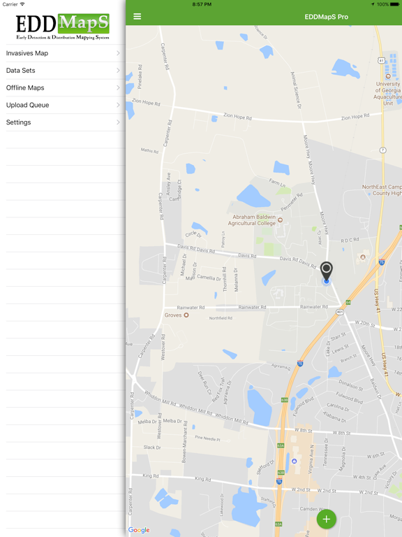
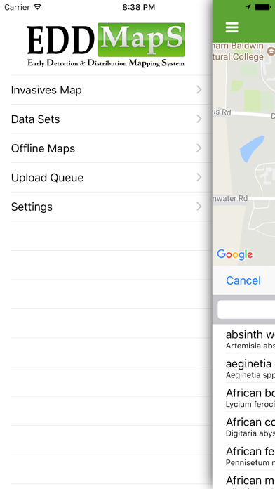
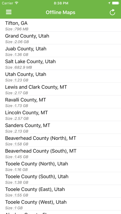
EDDMapS Pro Screenshots
EDDMapS Pro posterEDDMapS Pro posterEDDMapS Pro posterEDDMapS Pro posterEDDMapS Pro poster

About EDDMapS Pro

EDDMapS Pro – Professional Invasive Species Mapping & Management

EDDMapS Pro is the powerful mobile tool for biologists, land managers, and field teams to report, monitor, prioritize, and combat invasive species effectively.

Key Features:

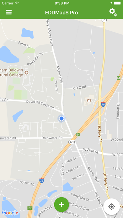
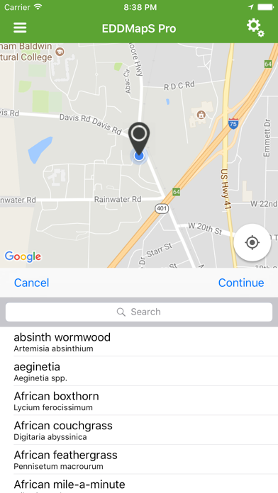
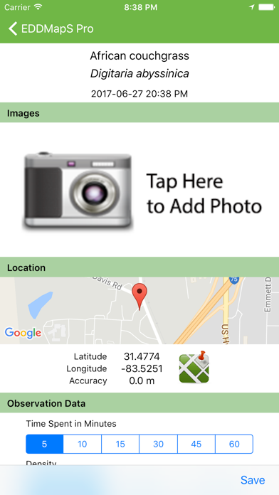
• Report & Submit Observations — Create and submit detailed reports with GPS, photos, status (Positive, Negative, Treated, Eradicated), and notes.
• Download Datasets — Pull county-level or custom datasets of observations for offline review and planning.
• Record Revisits & Contests — Navigate back to sites for updates, contest inaccurate records, or (as a verifier) approve submissions directly in-app.
• Photo Projects for Time-Series Monitoring — Establish projects to capture consistent photos over time; the first image serves as a transparent overlay guide for precise alignment on follow-up visits.
• Monitoring Zones — Access and use custom forms set up on eddmaps.org for location-specific monitoring protocols.
• Project Area Boundary Overlays — Import and load KML files to display property lines, management units, or other boundaries directly on the map for better spatial context.
• SIIPA Integration — Access and utilize Spatial Invasive Infestation and Priority Analysis (SIIPA) data and tools to help prioritize treatment areas based on infestation patterns and management goals.
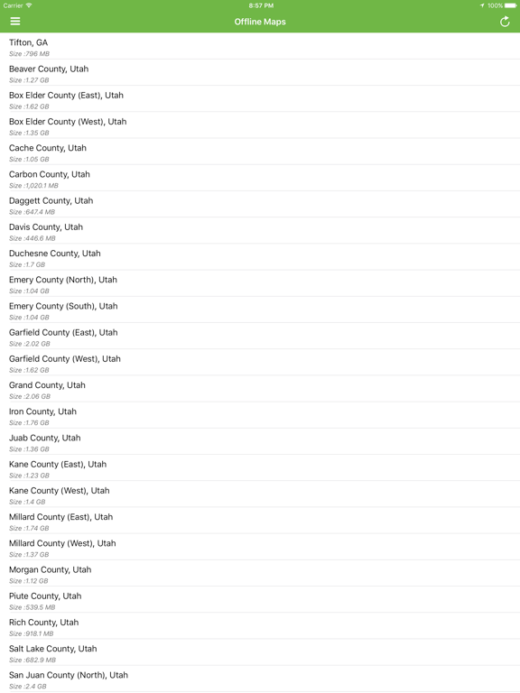
• Offline Maps & Workflow — Download map imagery for no-service areas; reports queue locally for users to upload when convenient.
• Customizable Views — Filter species lists, toggle report types, and tailor the experience to your workflow.

All data syncs seamlessly with the national EDDMapS database (eddmaps.org), supporting real-time distribution mapping, early detection, and collaborative invasive species control across states.

Free for qualified professionals—empower your invasive species management today!

Show More

What's New in the Latest Version 3.4.0

Last updated on Apr 22, 2026
Old Versions
• New Insect Form added!
Now you can report invasive insects with questions designed specifically for them.


For any questions, feedback, or suggestions, feel free to use the in-app feedback feature or email us at bugwood@uga.edu.
Show More
Version History
3.4.0
Apr 22, 2026
• New Insect Form added!
Now you can report invasive insects with questions designed specifically for them.


For any questions, feedback, or suggestions, feel free to use the in-app feedback feature or email us at bugwood@uga.edu.

EDDMapS Pro FAQ

Click here to learn how to download EDDMapS Pro in restricted country or region.
Check the following list to see the minimum requirements of EDDMapS Pro.
iPhone
iPad

EDDMapS Pro Alternative

You May Also Like

Get more from Charles T. Bargeron