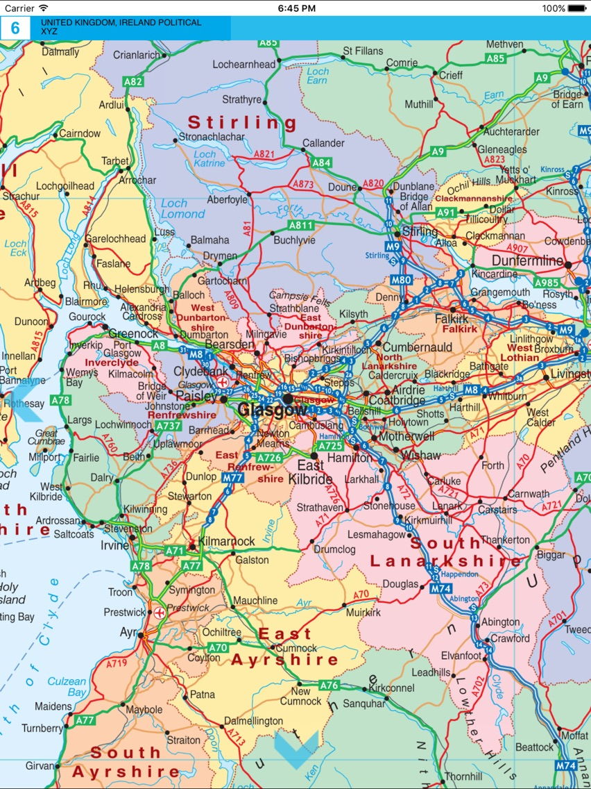
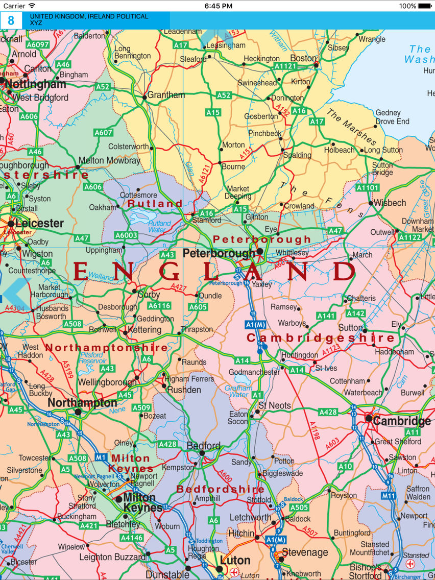
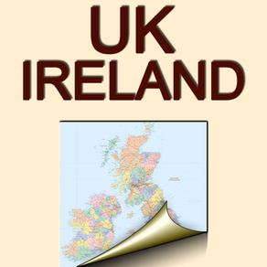
We present a digital version of the printed map of the Great Britain and Ireland from the renowned publishing house The XYZ Digital Map Company. Its scale is 1:1 000 000.
The map shows administrative division of the countries; names of each region are indicated. Main cities are presented, as well as small towns and villages.
The map shows railway and road networks; road numbers are indicated.
Printed editions have something magical, something that does not exist in their electronic equivalents. They were created by living people, who labored over each centimeter of the map, they were not created by robots. We decided to combine these achievements of the print editions with the new possibilities of contemporary electronic platforms.
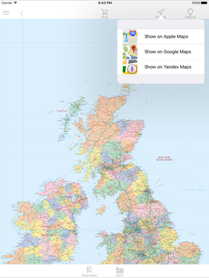
Our app is not intended as a replacement for GPS navigators, Apple Maps, GoogleMaps, YandexMaps, etc. This is why you can transit from any map section to a corresponding section of a service of your choosing (Apple Maps, Gоogle Maps, YandexMaps) and back again.
Highlights of the app:
- You can work offline.
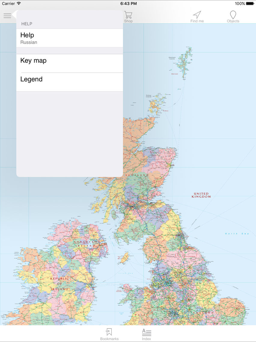
- You can navigate your way to any desired map section through the traditional index map or simply by turning pages.
- You have the ability to magnify individual parts of a map and bookmark interesting pages.
- You have the ability to add your own information to the map (comments, addresses, telephone numbers – including the ability to dial directly from within the app).
- When using the app in an online mode, you can transit from any map section to a corresponding section of a service of your choosing (Apple Maps, Gоogle Maps, YandexMaps) and back again.
The advantages of the electronic version of the map:
- The map is of as a high a quality as the paper edition – but it is less expensive. Plus it does not bend, tear or become lost at the most inopportune moment.
- The ease with which you can search, magnify and examine details, add notes and additional information – utilizing the power and features of today’s devices.
The quality and art of traditional paper maps is being replaced by much less attractive automated digital maps. Our app brings these excellent paper maps into the mobile age, helping to ensure they continue to provide you with both knowledge and enjoyment – it would be a tragedy if they were relegated only to libraries, inaccessible to most people. We want to give a second life to paper maps. This app is for people who love good old printed maps and want to go with the times.