Contractor's level creates a 50 meter horizontal plane just like a tripod mounted laser.
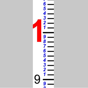
Easily place a grade rod in the scene over and over.
Easy to read plane just like the level of water lets you:
- Know exactly how deep to dig.
- Spread gravel, dirt, or sand with precision down to th centimeter.
- Establish grade marks on batter boards or anything else.
Displays read out for the grade rod reading and the difference in elevation from the main anchor.