Hydra topoguide
$4.99
1.4for iPhone, iPad
Age Rating
Hydra topoguide 스크린 샷
About Hydra topoguide
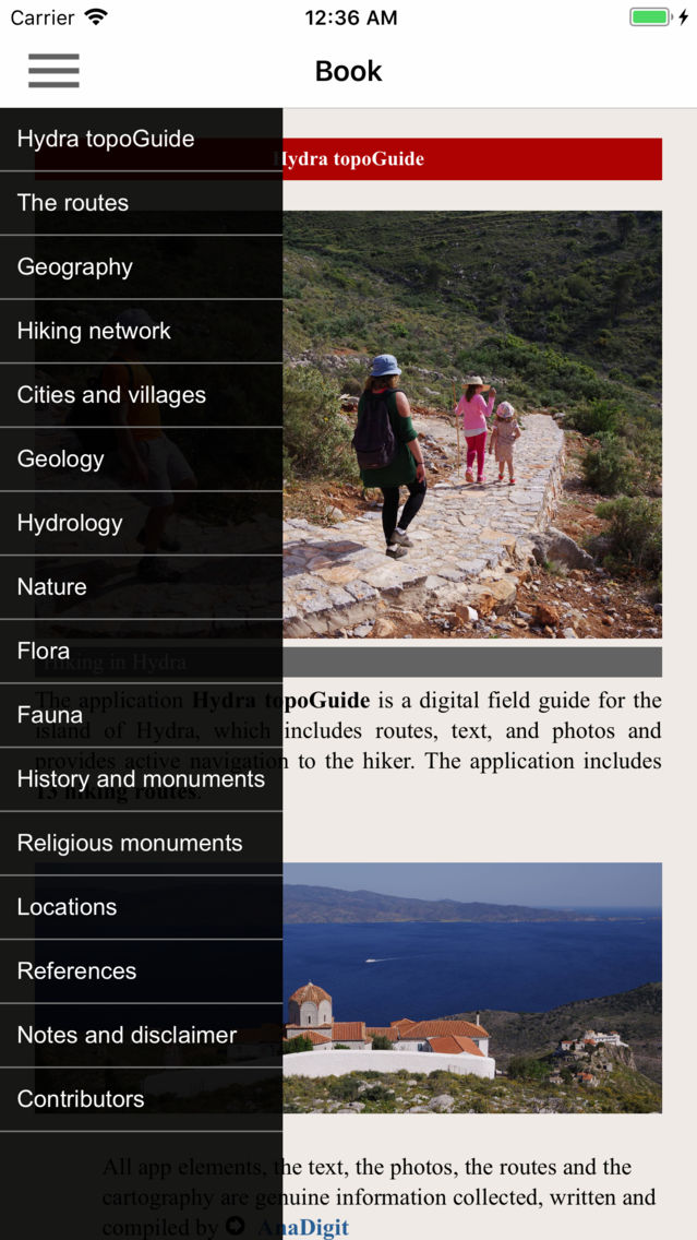
Hydra topoguide is a digital field guide for hikers and nature lovers. It includes routes, descriptions and photos for 14 hiking trails on the beautiful island of Hydra.
The application includes a detailed offline map and an extensive introduction on the geography, the nature and the paths of Hydra island, including a large chapter on the island's nature.
The trails list includes easy and moderate hiking trails and long mountain traverses, of a total length of 100 km.
The app also provides a list of useful POIs with a search feature on the map screen.
In the field, the app identifies the nearest adventure, guides you to it and then along it by displaying messages and warnings on every junction or other important location. On each Point of Interest, photos and texts are displayed on the map. If the hiker gets off-trail, the app indicates the shorter way to get back safely.
Also, a navigation feature allows to calculate routes and distances along roads and paths anywhere on the island.
The cartographic company AnaDigit, creator of the application, has issued previously hundreds of detailed hiking maps for Greece (eg. maps of Mt. Olympus, Crete, Zagori, Sifnos, Naxos and other Aegean islands). To build the application and ensure data accuracy, all paths of Hydra island have been revised during Spring 2018.
Show More
최신 버전 1.4의 새로운 기능
Last updated on Nov 6, 2018
오래된 버전
Our other apps are now shown on the map.
Show More
Version History
1.4
May 1, 2018
Our other apps are now shown on the map.
Hydra topoguide FAQ
제한된 국가 또는 지역에서 Hydra topoguide를 다운로드하는 방법을 알아보려면 여기를 클릭하십시오.
Hydra topoguide의 최소 요구 사항을 보려면 다음 목록을 확인하십시오.
iPhone
iPad
Hydra topoguide은 다음 언어를 지원합니다. English


