"In Sight - Svalbard+ offline" contains high resolution offline maps of Svalbard, Bear Island and Jan Mayen down to a scale of 1: 35 000. (Requires 3.5 GB of space). If you need a more space efficient alternative, take a look at our app "In Sight - Svalbard" instead.
What is the name of the mountain you can see in the distance? What are the lakes you see in front of you? Point there with In Sight Svalbard+ and you'll see on the screen what they are called. See also places nearby with amazing high-resolution maps. High resolution offline maps of Svalbard, Bear Island and Jan Mayen are used down to a scale of 1:35 000. (Requires 3.5 GB of space).
* Offline Augmented Reality in Svalbard *
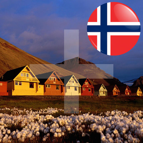
(Svalbard, Bear Island and Jan Mayen)
See what's near you where you travel in Svalbard: Mountains, Lakes, Places, Buildings, etc. You don't even have to be nearby Svalbard: You can manually set your location to a place in Svalbard to pretend you are there. Decide if you want to see places nearby, or famous cities around the world.
Works everywhere: By the sea, in the mountains, in the city. Without the internet, without coverage.
Turn the phone sideways to view on the camera screen the places that are nearby. Take a picture or record a video of what you see and share on social media, directly from the App!
You can also add your own places!
In Sight Svalbard+ is also an altimeter, speedometer and also estimates the distance you've traveled. Choose between metric (km, meter) or imperial (miles, feet) units.
All data is built into the App, so you don't need internet. You only need internet when you use the map or share a picture or video on social media. High-resolution maps don’t require internet.
Select between the following map types: Standard, Satellite, Hybrid and High Resolution. High resolution maps are provided by the Norwegian Polar Institute (Norsk Polarinstitutt).
In Sight Svalbard+ relies on the compass and GPS of your device. Best results are achieved if you are outside (with Wi-Fi and cellular data switched off). Note that using a protective cover on your phone might interfere with the compass.
One way to calibrate the compass is to move the phone in an 8-number manner 3 times: Once when the phone is in landscape, once in portrait and once facing up. Also stay away from magnetic sources that might influence the compass.
EXTRA FEATURES (available as in-app purchases):
* Fullscreen mode: Switch between normal, hybrid and fullscreen.
* Selfie mode: See places nearby with front facing camera.
* Video recording: Record what you see and share with friends.
* Extended features: Show speed units as knots.
* Augmented reality plus: Extended view range by 50%. Search radius increased from 80 to 120 km (50 to 75 miles). Up to 5000 points of interest are displayed.
Source: ws.geonames.org under the Creative Commons Attribution 3.0 License (http://creativecommons.org/licenses/by/3.0/)
High resolution maps from the © Norwegian Polar Institute (http://geodata.npolar.no) are licensed under the Creative Commons Attribution 4.0 international (CC BY 4.0) (https://creativecommons.org/licenses/by/4.0/)