Apps in this category do not contain restricted content.
9+
Apps in this category may contain mild or occasional cartoon, fantasy or real-life violence, as well as occasional or mild adult, sexually suggestive or horrifying content and may not be suitable for children under 9 years of age.
12+
Apps in this category may contain occasional mild indecent language, frequent or intense cartoon or real-life violence, minor or occasional adult or sexually suggestive material, and simulated gambling, and may be for children under 12 years of age.
17+
You must be at least 17 years old to access this App.
Apps in this category may contain frequent and intense offensive language; Frequent and intense cartoon, fantasy or realistic violence: frequent and intense adult, scary and sexually suggestive subjects: as well as sexual content, nudity, tobacco, alcohol and drugs, may not be suitable for children under 17 years of age.
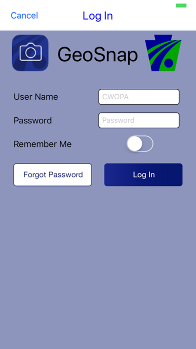
PennDOT - GeoSnap Screenshots
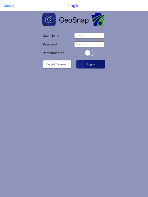
About PennDOT - GeoSnap
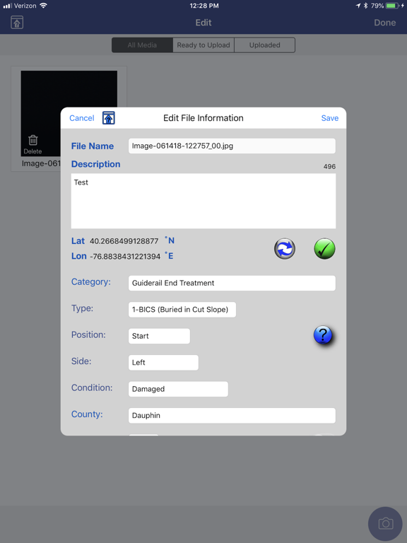
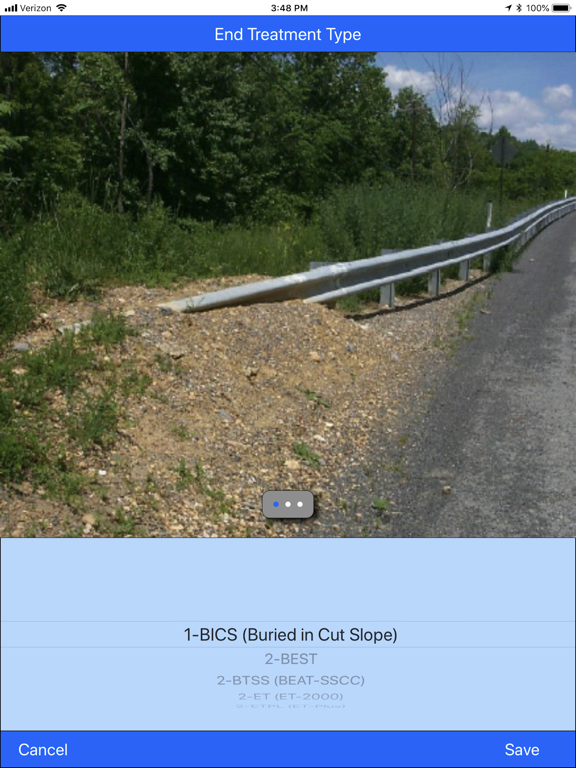
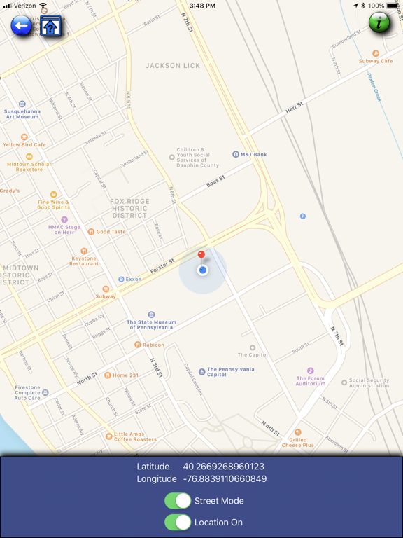
The PennDOT - GeoSnap app allows photos to be taken, tagged with latitude, longitude, and business data then securely uploaded to the Maintenance IQ application.
Show More
Show Less
What's New in the Latest Version 1.13
Last updated on Mar 28, 2024
Old Versions
Code updates and various bug fixes.
Show More
Show Less
Version History
1.13
Mar 28, 2024
Code updates and various bug fixes.
1.12
May 11, 2023
Minor updates and bug fixes.
1.11
Jan 12, 2023
Updated list of State Routes added.
1.10
Jul 14, 2022
Multiple photo deletion now available. Flash available on iPhones. Various bug fixes.
1.9
Apr 29, 2020
Addition of Subcategories Addition of Lat and Lon on images
1.8
Jul 16, 2019
Size of captured photo increased to 768x1024. Added Non-SR option to route drop down. Added version update notification message.