PennDOT - GeoSnap
GeoSnap
Free
1.13for iPhone, iPad
9.9
3 Ratings
Executive Office of The Commonwealth of Pennsylvania
Developer
29.2 MB
Size
Mar 28, 2024
Update Date
Business
Category
4+
Age Rating
Age Rating
PennDOT - GeoSnap Capturas de tela
About PennDOT - GeoSnap
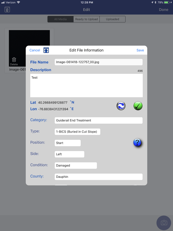
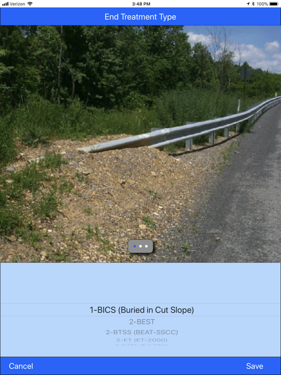
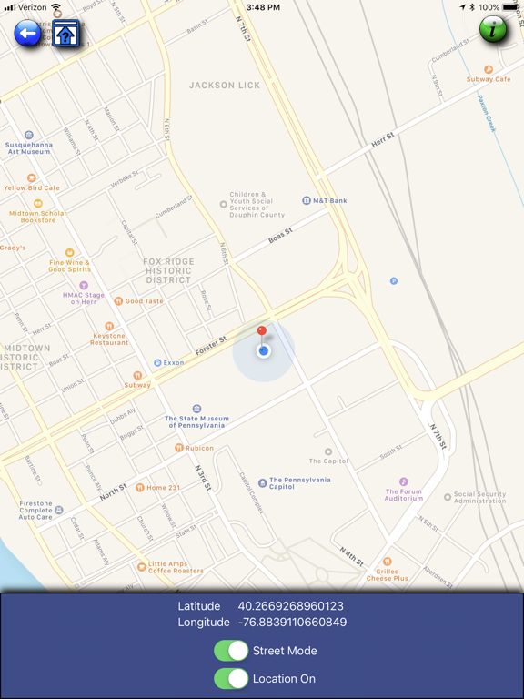
The PennDOT - GeoSnap app allows photos to be taken, tagged with latitude, longitude, and business data then securely uploaded to the Maintenance IQ application.
Show More
Novidades da Última Versão 1.13
Last updated on Mar 28, 2024
Versões Antigas
Code updates and various bug fixes.
Show More
Version History
1.13
Mar 28, 2024
Code updates and various bug fixes.
1.12
May 11, 2023
Minor updates and bug fixes.
1.11
Jan 12, 2023
Updated list of State Routes added.
1.10
Jul 14, 2022
Multiple photo deletion now available.
Flash available on iPhones.
Various bug fixes.
Flash available on iPhones.
Various bug fixes.
1.9
Apr 29, 2020
Addition of Subcategories
Addition of Lat and Lon on images
Addition of Lat and Lon on images
1.8
Jul 16, 2019
Size of captured photo increased to 768x1024.
Added Non-SR option to route drop down.
Added version update notification message.
Added Non-SR option to route drop down.
Added version update notification message.
1.7.1
Jun 21, 2018
PennDOT - GeoSnap FAQ
Clique aqui para saber como baixar PennDOT - GeoSnap em um país ou região restrita.
Confira a lista a seguir para ver os requisitos mínimos de PennDOT - GeoSnap.
iPhone
Requires iOS 16.0 or later.
iPad
Requires iPadOS 16.0 or later.
PennDOT - GeoSnap suporta English


