Route Mapper makes capturing bus routes easy!
Use Route Mapper to:
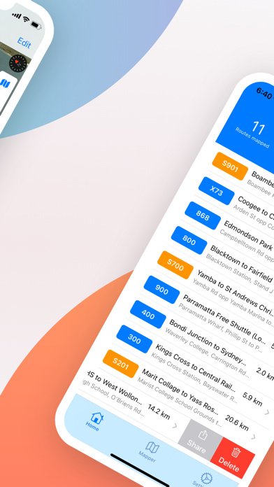
• Digitise your bus routes and bus stops
• Validate bus routes on a map
• Capture distance and passing times between bus stops
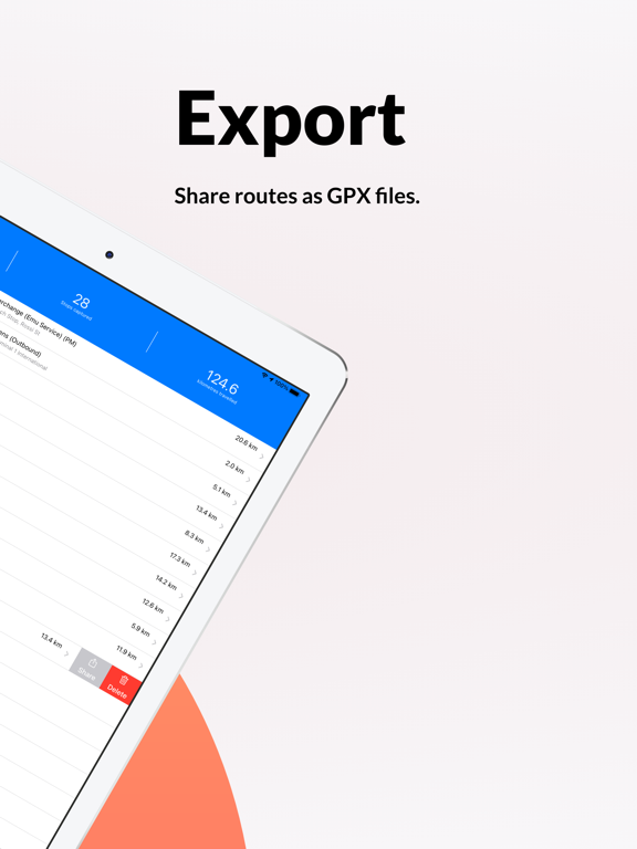
• Export GPX route data to any supported application
MAP BUS ROUTES
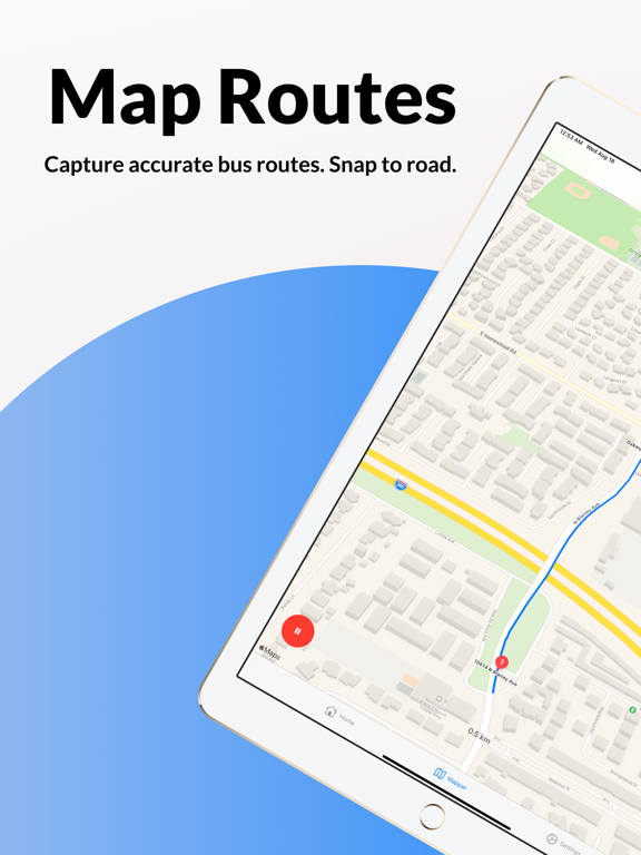
• Turn your phone into a GPS tracker and map your bus routes
• Route paths snap to roads where available
• Optimised waypoint mapping that adapts to the vehicle speed
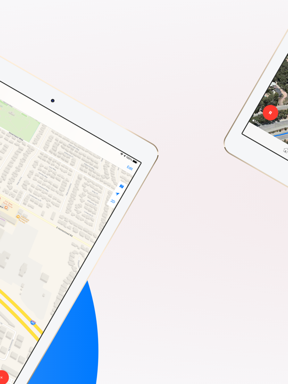
• Pause / Resume route mapping
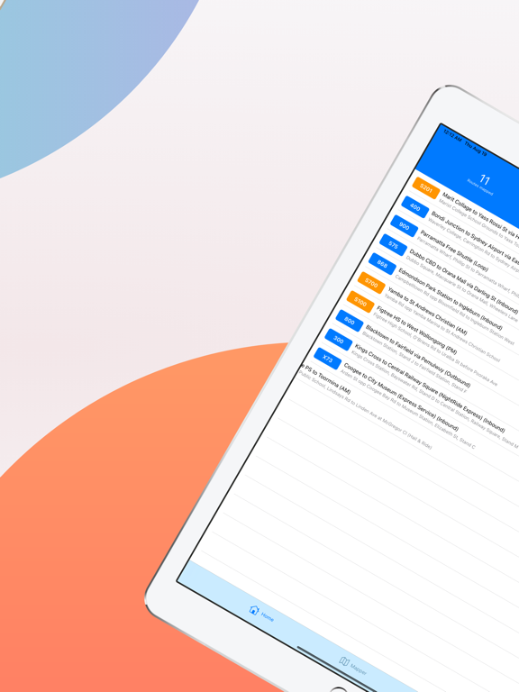
• Capture regular services with 3 types of directions (Inbound, Outbound, Loop)
• Capture school services with AM or PM service times
• Select 3 different mapping resolution settings to collect more or less waypoints
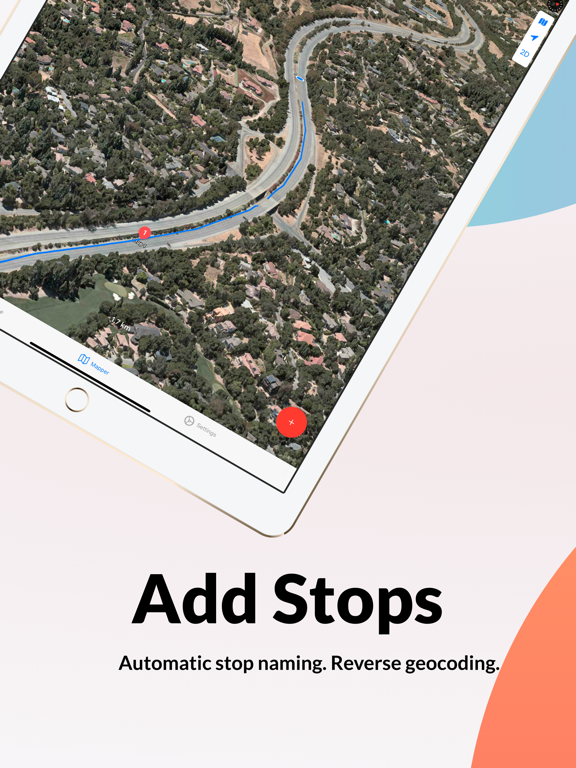
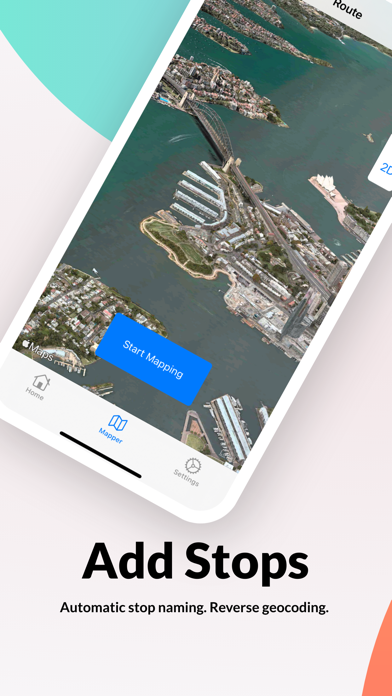
CAPTURE BUS STOP LOCATIONS
• Capture bus stop locations in longitude/latitude
• Capture passing times at each stop
• Automatic bus stop naming using reverse geocoding
• Add notes to bus stop locations
EASY TO USE
• Click Start, add stops, click finish. It's as easy as 1-2-3
• No messy user registration process. Just install and start mapping!
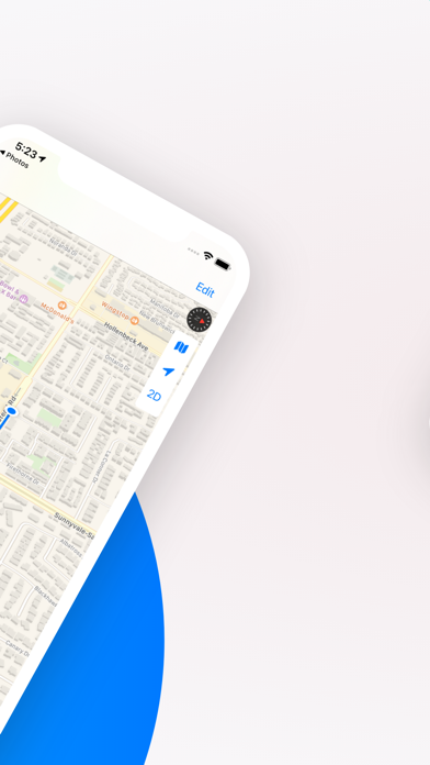
DETAILED MAPS
• Review mapped routes and stops with detailed maps
• Detailed satellite imagery in most metropolitan areas and regional cities
• 3D fly-over
• Map zoom and pan
SHARE & EXPORT
• Share routes via email, airdrop plus more.
• Routes files exported in GPS Exchange Format (GPX)
• Import your GPX routes files to any supported tool such as Google earth, ArcGIS
• Sync mapped routes across your apple devices via iCloud
• Automatically uploads routes to a linked Busable™ web account for scheduling and publishing of customer bus service timetables
WORKS OFFLINE
• No internet access required (except for uploading to iCloud or to the Route Mapper web application)
• View existing captured routes offline
==== DISCLAIMERS ====
• For safety reasons, do not use your phone whilst driving. Always obey all traffic laws. Refer to your local road authority for more information
• Continued use of gps in the background may dramatically reduce your battery life