The award winning seeCrop app offers a real breakthrough in agronomy on the go. Using high resolution satellite imagery seeCrop delivers up to date information on the health of your crop, allowing you to make more informed agronomic decisions.
In season satellite imagery can be used to identify areas of crop stress or highlight infestations of pests, weeds and disease. This information allows you to target crop walking and save time by identifying problem areas before you reach the field. Identifying these issues early means the impact on crop yield can be minimised.
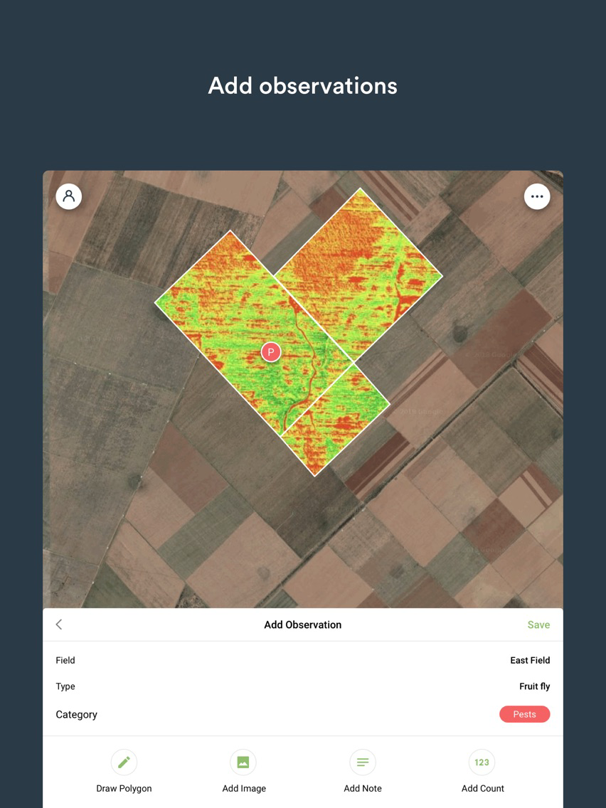
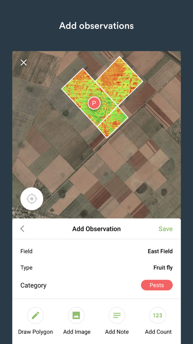
Once out in the field seeCrop allows you to record the precise geolocation of agronomic observations. It is pre-loaded with the most common arable pests, weeds and diseases, meaning that observations can be recorded quickly and easily. seeCrop will also predict what you are most likely to see based on your crop type and time of year.
Observations can be recorded as a point or the app can be used to draw a polygon around the problem area.
Other information such as notes, counts or geo-tagged photographs can be saved with your observations or shared with other users. This is a great way for farmers and advisors to share what they are seeing out on the farm.
Historic observations can be viewed in seeCrop and filtered by type (pest, weed or disease), crop or year. This record allows you to monitor where problems have previously occurred and assess the impact on crop productivity or effectiveness of any remedial management.
Get seeCrop now and start reaping the benefits…
- Free set up
- In-season satellite imagery sent straight to your phone
- Target crop walking and identify problems early to minimise yield loss
- Record and share observations with ease
- View historic observation records
Improve decision making on your farm