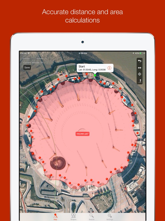
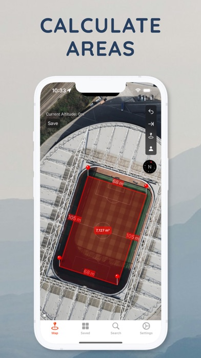
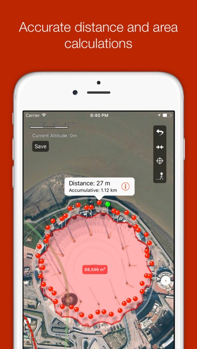
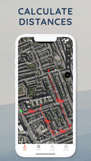
Distance Tool allows for quick and easy calculations to find distances between points on a map, including area calculations for non-overlapping polygons drawn. Includes metric (meters, kilometers) and imperial units (yards, miles, feet for altitude) for distances. Co-ordinates can either be displayed in decimal or degrees, meters and seconds.
Useful for mapping fields in agriculture, plots of land/home boundaries, or for general interest in distances and areas!
Functionality to drop a point at your current location (GPS or otherwise), and to email the results. Tap briefly to drop points anywhere on the map.
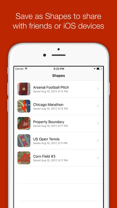
Share your drawing (shape) by email, which includes a file that can be opened on any device with Distance Tool.
Allows the standard map views of standard, satellite and hybrid.
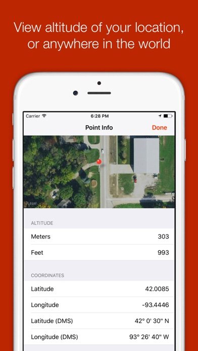
Supports quick altitude calculation without data connectivity. Find out how high up you are! Or see the altitude of ANY point (requires data).
Freehand draw: Draw any shape on the map to quickly calculate area.
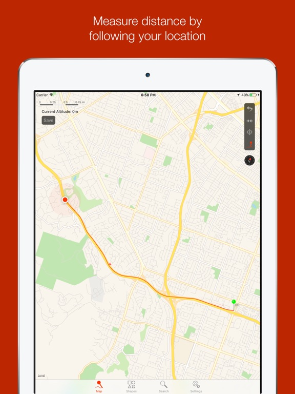
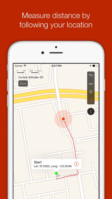
Follow Mode: Calculate distance or areas simply by moving!
Subscription terms:
- The subscription auto-renews at the end of each term.
- Payment will be charged to iTunes Account at confirmation of purchase.
- The subscription automatically renews unless auto-renew is turned off at least 24-hours before the end of the current period.
- Account will be charged for renewal within 24-hours prior to the end of the current period.
- You may manage your subscription and turn off auto-renewal by going to your Account Settings after purchase.
Privacy policy and Terms of Use: https://applorium.com/privacy-distance-tool