GeoSync Cloud is entirely about meeting the needs of everyday work routines. It makes tasks simple. There are tons of data and forms and images sitting on your network, but all that information is worthless without an easy way to utilize it.
We started with the goal of flexibility. GeoSync Cloud is designed to be used in different ways and with all different types of data. It doesn't lock you into one system or structure. Some use it to fill a niche, while others make it the foundation of their geospatial management system.
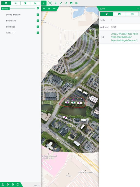
The next feature we added was modularity. Monolithic maps and scenes make for an overwhelming experience. They are hard to use and even harder to maintain. We have made GeoSync Cloud work smoothly as a task-specific management tool. A project can have dedicated media and a map of a single building. Then you might want to add to it by connecting a 3D scan of a room to the project. All these things are linked together, but can be loaded individually for performance and intuitiveness.
The last feature we added, and will always be adding. is robustness. Simple is great, but it doesn't matter if it can't do that one crucial task. We have been consistently improving the publishing tool to offer all the options and functions that are required by our clients. We have added a media browsing interface to make media-focused workflows more useful. We are constantly adding new tools.
== FAQ ==
Q: What are some use cases for GeoSync Cloud?
A: While we think it could be used for nearly any task, here is a short list of things we have tried.
- Utility system management
- Emergency management
- Automatic vehicle tracking systems
- Planning and zoning
- Building inspection
- Building inventory and management
- Property valuation
Q: Can I use high accuracy GPS devices with GeoSync Cloud?
A: GeoSync Cloud is compatible with GNSS devices.