Age Rating
4+
Apps in this category do not contain restricted content.
9+
Apps in this category may contain mild or occasional cartoon, fantasy or real-life violence, as well as occasional or mild adult, sexually suggestive or horrifying content and may not be suitable for children under 9 years of age.
12+
Apps in this category may contain occasional mild indecent language, frequent or intense cartoon or real-life violence, minor or occasional adult or sexually suggestive material, and simulated gambling, and may be for children under 12 years of age.
17+
You must be at least 17 years old to access this App.
Apps in this category may contain frequent and intense offensive language; Frequent and intense cartoon, fantasy or realistic violence: frequent and intense adult, scary and sexually suggestive subjects: as well as sexual content, nudity, tobacco, alcohol and drugs, may not be suitable for children under 17 years of age.
Map Discovery Screenshots
Map Discovery posterMap Discovery posterMap Discovery posterMap Discovery posterMap Discovery posterMap Discovery posterMap Discovery poster

About Map Discovery

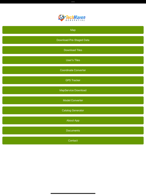
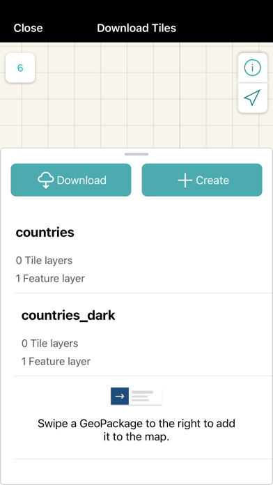
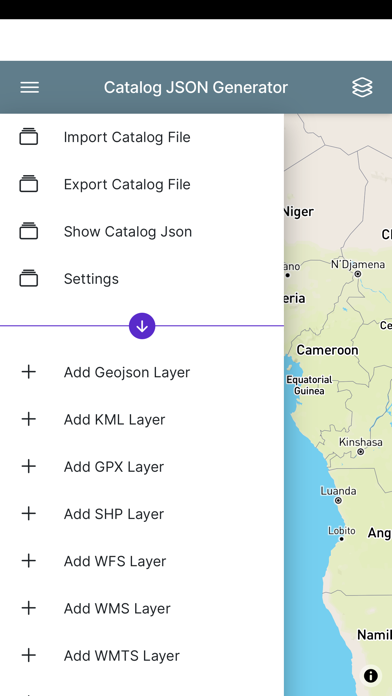
Users are able to load GIS mapping data: mbtiles, gpkg, Shapefiles (zipped), KML, GPX, CSV, GeoJSON
As well as connect to basemaps, OGC WMS, XYZ Tile servers (with support for more services coming soon)

Open Street Map Vector tiles with different stylesheets basemap and many raster tile basemaps are available from multiple providers.


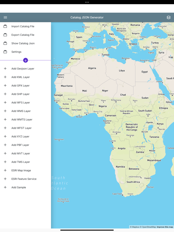
The app has a data catalog JSON format feature that allows for configuring online mapping services (ESRI MapServer, ESRI ImageServer, ESRI FeatureServer, OGC WMS, OGC WMTS Tiles,XYZ/TMS Tiles,OGC WFS)

The app supports data creation and editing digitizing/drawing vector features.
Can create new geojson data with any properties you want defined and view attribute/grid and perform searching
OGC WFS-T Transactional data creation and Editing is available for users that have GeoServer, QGIS Server, MapServer and others.

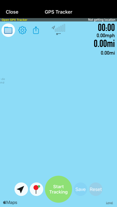
Analysis tools like measure distance and area, map swipe, getting elevation, viewing attribute tables

Search open street map places and geographies via OSM Nominatim Search. It also does address geocoding.

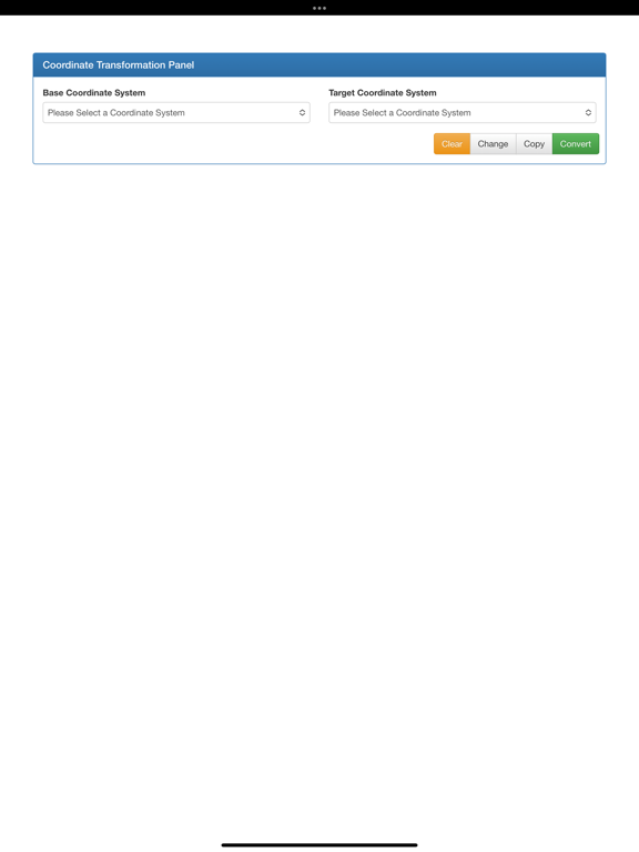
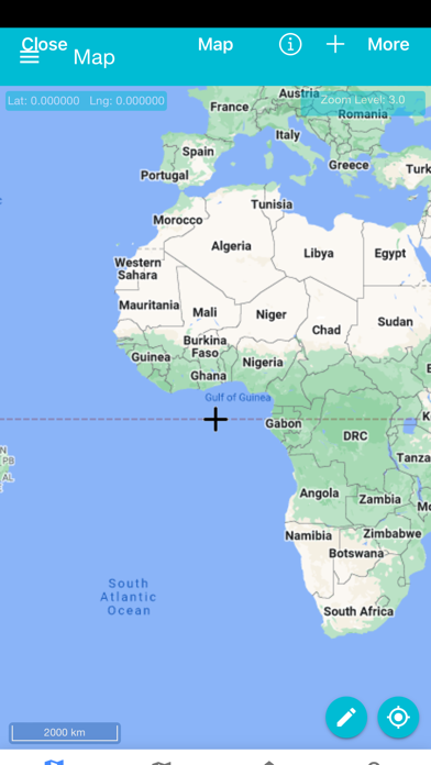
The app is very customizable to your needs the units of measure can be changes as well as Display of Map Coordinates ( Latitude and Longitude, MGRS, GARS) and Scale bar
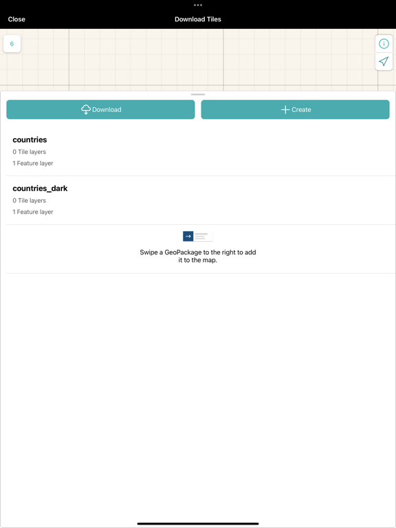
The app is also able to connect to our other app Tile Server for iOS and access data being served by that app.
Show More

What's New in the Latest Version 1.1

Last updated on Mar 22, 2023
Old Versions
Map added and bug fixing
Show More
Version History
1.1
Mar 22, 2023
Map added and bug fixing

Map Discovery FAQ

Click here to learn how to download Map Discovery in restricted country or region.
Check the following list to see the minimum requirements of Map Discovery.
iPhone
iPad

Map Discovery Alternative

You May Also Like

Get more from Tech Maven GeoSpatial LLC